Bantam Trail
- 0.3 mi
- round trip
- 540 ft
- climb
- 1,030 ft
- high point
- Out and back
- route
- Jan–Dec
- best months
Bantam Trail is a short, easy hike on the rolling hills of Trebek Open Space in California, a regional agency land unit. The trail runs about 0.6 miles long, with a total elevation gain of about 540 feet over the course of the out-and-back route. The climb is gentle, with the steepest stretch coming within the first third of the trail, and the high point reaches about 1,030 feet. With a round-trip gain of about 540 feet and a total distance of 0.6 miles, the hike is a quick outing rather than a long day on foot. Spring and late fall are the most comfortable times to visit. Typical averages from a nearby weather station show May highs around 73°F and October highs around 77°F, while July and August run warmer, with August averaging about 83°F. The trail pairs well with other routes in the area. West Trail is about 0.3 miles away and East Trail about 0.5 miles. Betty B Dearing Trail and Dearing Mountain Trail both lie within about 2 miles.
- West TrailHiking0.3 mi
- East TrailHiking0.5 mi
 Betty B Dearing TrailHikingPhoto: sergei.gussev, CC BY 2.0 (via Flickr)1.6 mi
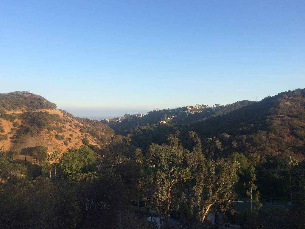 Dearing Mountain TrailHikingPhoto: sergei.gussev, CC BY 2.0 (via Flickr)1.9 mi
- Powerline TrailHiking2.1 mi
- Burbank Peak TrailHiking2.3 mi
 Bee Rock (Griffith Park)Rock climbingPhoto: Thad Zajdowicz, CC BY-SA 2.0 (via Flickr)4.1 mi
- UclaRock climbing5.8 mi
Source: Roamze catalog (indexable pages within 10 miles, PostGIS distance)
- Betty B Dearing TrailHiking · ~3 min drivePhoto: sergei.gussev, CC BY 2.0 (via Flickr)
- Dearing Mountain TrailHiking · ~3 min drivePhoto: sergei.gussev, CC BY 2.0 (via Flickr)
- Franklin Canyon ParkHiking · ~5 min drive
 Bronson Caves TrailHiking · ~5 min drivePhoto: Fotos_Ohio, CC BY 2.0 (via Flickr)
 Brush Canyon TrailHiking · ~6 min drivePhoto: Downtowngal, CC BY-SA 3.0 (via Wikimedia Commons)
 Berman TrailHiking · ~5 min drivePhoto: mjhbower, CC BY-SA 2.0 (via Flickr)
- Mount Hollywood TrailHiking · ~6 min drivePhoto: Fotos_Ohio, CC BY 2.0 (via Flickr)
 Blinderman TrailHiking · ~5 min drivePhoto: sergei.gussev, CC BY 2.0 (via Flickr)
- Burbank Peak TrailHiking · ~4 min drive
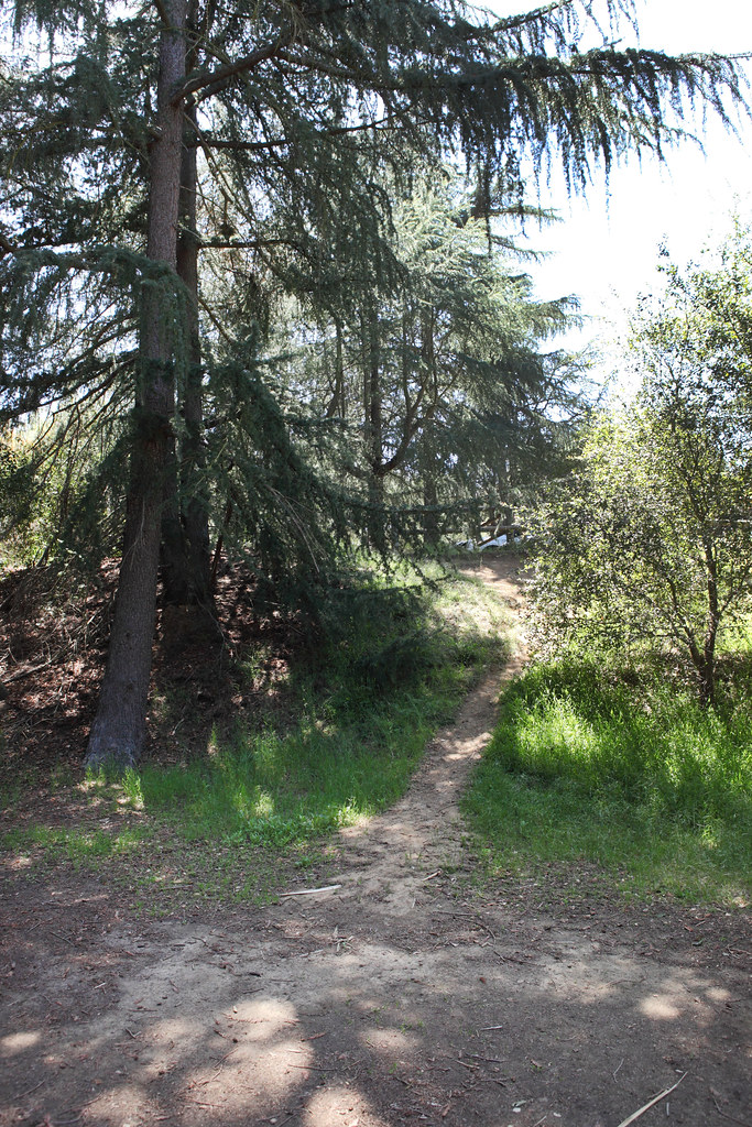 Chernoff TrailHiking · ~5 min drivePhoto: Sam Howzit, CC BY 2.0 (via Flickr)
Best time to visit Bantam Trail
Best months: Year-round. Best months have typical highs of 55–85 °F, lows of 30 °F or warmer (32 °F where the station doesn't record snow), at most one snowy day and no more than 12 wet days.
Jan
66° / 52°
6 wet
Feb
66° / 50°
6 wet
Mar
68° / 51°
5 wet
Apr
70° / 52°
3 wet
May
73° / 54°
2 wet
Jun
75° / 56°
1 wet
Jul
80° / 60°
1 wet
Aug
83° / 62°
0 wet
Sep
82° / 63°
1 wet
Oct
77° / 59°
3 wet
Nov
72° / 56°
4 wet
Dec
65° / 51°
7 wet
Typical high / low (°F) and days with rain or snow, 1991–2020. Measured at Getty Ctr, CA, 7.1 mi away at 1,117 ft. Source: NOAA NCEI U.S. Climate Normals 1991–2020.

Map and trail data © OpenStreetMap contributors
