Dearing Mountain Trail
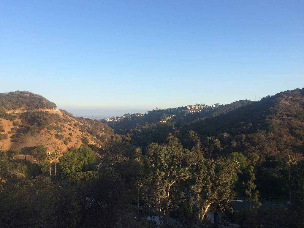 Photo: sergei.gussev, CC BY 2.0 (via Flickr)
- 2.1 mi
- round trip
- 1,980 ft
- climb
- 1,143 ft
- high point
- Out and back
- route
- Jan–Dec
- best months
Is Dearing Mountain Trail open right now?
No closures listed
The National Park Service lists no closures for Santa Monica Mountains National Recreation Area.
As of · Source: NPS · Santa Monica Mountains National Recreation Area. Agencies don't list every closure — check before you go.
Dearing Mountain Trail is a 2.05-mile moderate hike in the Santa Monica Mountains National Recreation Area, within Fryman Canyon Natural Area in California. The trail is an out-and-back that covers about 4.1 miles round trip, with a total elevation gain of 1,980 feet. The climb is steady, and the steepest stretch comes at about 0.38 miles from the start, where the grade reaches 20%. The most comfortable months for a visit are typically late spring and early fall. Typical averages from a nearby weather station show May highs around 73°F and October highs around 77°F, with only a few wet days in each. Winter is cooler, with January highs near 66°F. The Betty B Dearing Trail starts just 0.2 miles away, and the Shady Oak Trail is about 0.8 miles off. Franklin Canyon Park and the Berman Trail are both roughly 1.1 miles away.
 Betty B Dearing TrailHikingPhoto: sergei.gussev, CC BY 2.0 (via Flickr)0.2 mi
- Shady Oak TrailHiking0.8 mi
- U-Vanu TrailHiking1.1 mi
 Berman TrailHikingPhoto: mjhbower, CC BY-SA 2.0 (via Flickr)1.1 mi
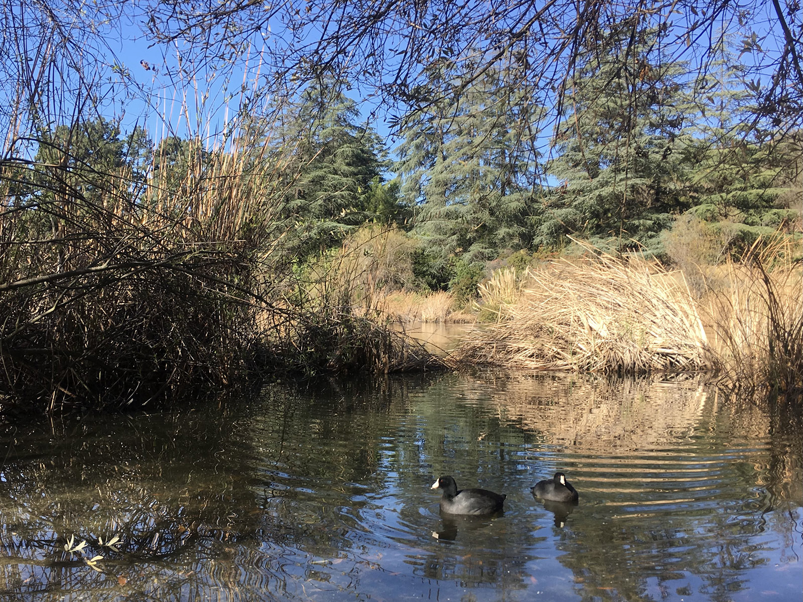 Franklin Canyon ParkHikingPhoto: NPS1.2 mi
- Ranch TrailHiking1.6 mi
- UclaRock climbing5.1 mi
 Bee Rock (Griffith Park)Rock climbingPhoto: Thad Zajdowicz, CC BY-SA 2.0 (via Flickr)5.5 mi
Source: Roamze catalog (indexable pages within 10 miles, PostGIS distance)
- Betty B Dearing TrailHiking · Next doorPhoto: sergei.gussev, CC BY 2.0 (via Flickr)
- Franklin Canyon ParkHiking · ~2 min drive
 Brush Canyon TrailHiking · ~8 min drivePhoto: Downtowngal, CC BY-SA 3.0 (via Wikimedia Commons)
- Berman TrailHiking · ~2 min drivePhoto: mjhbower, CC BY-SA 2.0 (via Flickr)
 Mount Hollywood TrailHiking · ~9 min drivePhoto: Fotos_Ohio, CC BY 2.0 (via Flickr)
 Blinderman TrailHiking · ~2 min drivePhoto: sergei.gussev, CC BY 2.0 (via Flickr)
- Betty B. Dearing TrailHiking · ~1 min drive
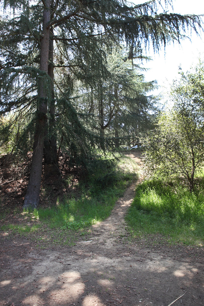 Chernoff TrailHiking · ~2 min drivePhoto: Sam Howzit, CC BY 2.0 (via Flickr)
- Hastain TrailHiking · ~3 min drive
- Bronson Caves TrailHiking · ~7 min drivePhoto: Fotos_Ohio, CC BY 2.0 (via Flickr)
Also worth it near here
Best time to visit Dearing Mountain Trail
Best months: Year-round. Best months have typical highs of 55–85 °F, lows of 30 °F or warmer (32 °F where the station doesn't record snow), at most one snowy day and no more than 12 wet days.
Jan
66° / 52°
6 wet
Feb
66° / 50°
6 wet
Mar
68° / 51°
5 wet
Apr
70° / 52°
3 wet
May
73° / 54°
2 wet
Jun
75° / 56°
1 wet
Jul
80° / 60°
1 wet
Aug
83° / 62°
0 wet
Sep
82° / 63°
1 wet
Oct
77° / 59°
3 wet
Nov
72° / 56°
4 wet
Dec
65° / 51°
7 wet
Typical high / low (°F) and days with rain or snow, 1991–2020. Measured at Getty Ctr, CA, 5.9 mi away at 1,117 ft. Source: NOAA NCEI U.S. Climate Normals 1991–2020.

Map and trail data © OpenStreetMap contributors
