Loading…

Free — you'll pick up right here.
Watch this trail
Sign up to watch it — saving subscribes you to gate, closure and report changes.
California
6.0 mi
Distance
1,639 ft
Gain
We won't guess. Here is exactly what we do and don't know.
What we do know
Inside Shasta-Trinity National Forest
3 managing-area boundaries mapped — agency alerts for them feed this page automatically.
Boundary data
What's missing
No access route mapped
We don't yet know which road reaches this trailhead, so we can't tell you if it's gated.
Nobody's filed a report here yet — be the first.
Why you'll love it
Backbone Creek
AI-suggested draft · review before you go
No permit or access details on file for this trail — check with the local land manager before you go.
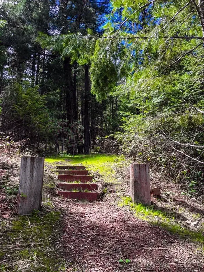
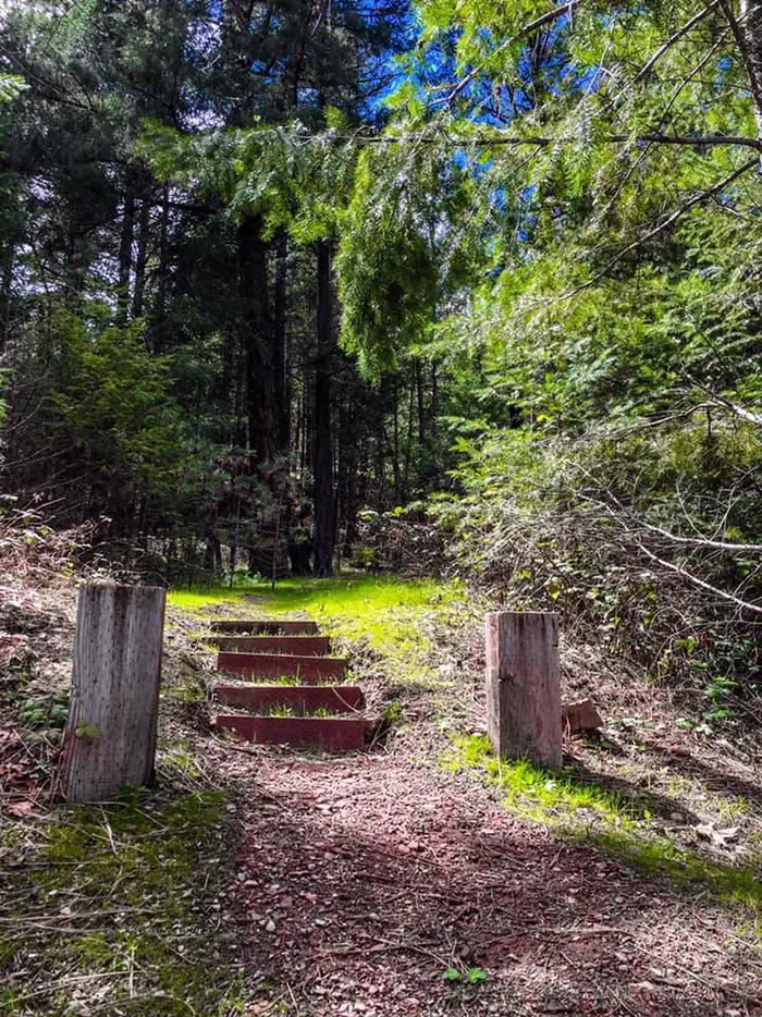
Backbone Creek Trail is a moderate 6-mile out-and-back hike featuring steady elevation gain through mixed terrain typical of California's coastal ranges or foothills. The trail follows Backbone Creek drainage, offering riparian habitat and seasonal water features that make this a refreshing option during warmer months. With nearly 1,640 feet of elevation gain, hikers can expect a rewarding climb with views expanding as they gain elevation.
Whites Creek
~1 min drive
Challenging 10.4-mile creek-side hike with 3,848 ft elevation gain.
North Fork Low Water Bypass B
~3 min drive
Easy 1.2-mile bypass trail with minimal elevation gain.
Mullane Corral
~15 min drive
Moderate 5-mile trail with 1,152 ft elevation gain near Mullane Corral.
North Fork
~1 min drive
Expert-level 32.7-mile backcountry trek with 4,567 ft elevation gain.
North Fork Low Water Bypass C
~8 min drive
Easy 1-mile bypass trail with minimal elevation gain.
Milk Camp
~15 min drive
Moderate 5.2-mile alpine climb with 2,453 ft elevation gain.
Rattlesnake Creek
~6 min drive
Moderate 12.2-mile creek-side trail with mixed forest and riparian scenery.
Papooose Scramble
~8 min drive
Steep 2.4-mile scramble with 1,513 ft elevation gain.
Alpine Scramble
~17 min drive
Steep alpine scramble with 2,367 ft gain over 4.35 miles.
Morrison Gulch
~8 min drive
Steep 6.4-mile Sierra gulch climb with 6,000 ft elevation gain.