Sheep Pass Group
Campground
The next 6 weekends are full on Recreation.gov
 Photo: leighklotz, CC BY 2.0 (via Flickr)
Alert in the area
The National Park Service lists 2 alerts for Joshua Tree National Park.
Inaccurate Third-Party Apps
Park alert covering Joshua Tree National Park · NPS · Joshua Tree National Park
Oasis of Mara Trail Partial Closure
Park alert covering Joshua Tree National Park · NPS · Joshua Tree National Park
As of · Source: NPS · Joshua Tree National Park. Agencies don't list every closure — check before you go.
The Astrodome Approach Trail is an easy out-and-back hike in Joshua Tree National Park, managed by the National Park Service. It is about 0.76 miles long, with a total elevation gain of 610 feet over the round trip. The route starts at around 4,300 feet and reaches a high point of about 4,520 feet, with the steepest stretch coming roughly halfway through at about 8% grade. The climb is rolling, so it's a gentle way to add a bit of elevation to a visit to the park. Spring and fall are the most comfortable times to go. Typical averages from a nearby weather station in Yucca Valley, which sits well below the trail, show April highs around 73°F and October highs around 80°F, with July and August highs near 96°F. Temperatures on the trail run cooler than those figures. Climbers will find the No Falls Wall and Barker Dam Bouldering areas about a tenth of a mile away, and the Barker Dam Trail is about 0.2 miles off. The Sheep Pass Group campground lies about 2.6 miles away.
Sheep Pass Group
Campground
 If it rainsJarek Tuszyński, CC BY 3.0 · Wikimedia Commons
Places © OpenStreetMap contributors · Photos: Jarek Tuszyński, CC BY 3.0 (commons)
More in Desert Hot Springs No Falls WallRock climbingPhoto: Joseph from Cabin On The Road, USA, CC BY-SA 2.0 (via Wikimedia Commons)0.1 mi
 Lakeside Rock - West FaceRock climbingPhoto: Tony Webster, CC BY 2.0 (via Flickr)0.1 miBarker Dam TrailHikingPhoto: leighklotz, CC BY 2.0 (via Flickr)0.2 mi
 Barker Dam NatureHikingPhoto: Nfrastructure, CC BY 2.0 (via Flickr)0.4 mi
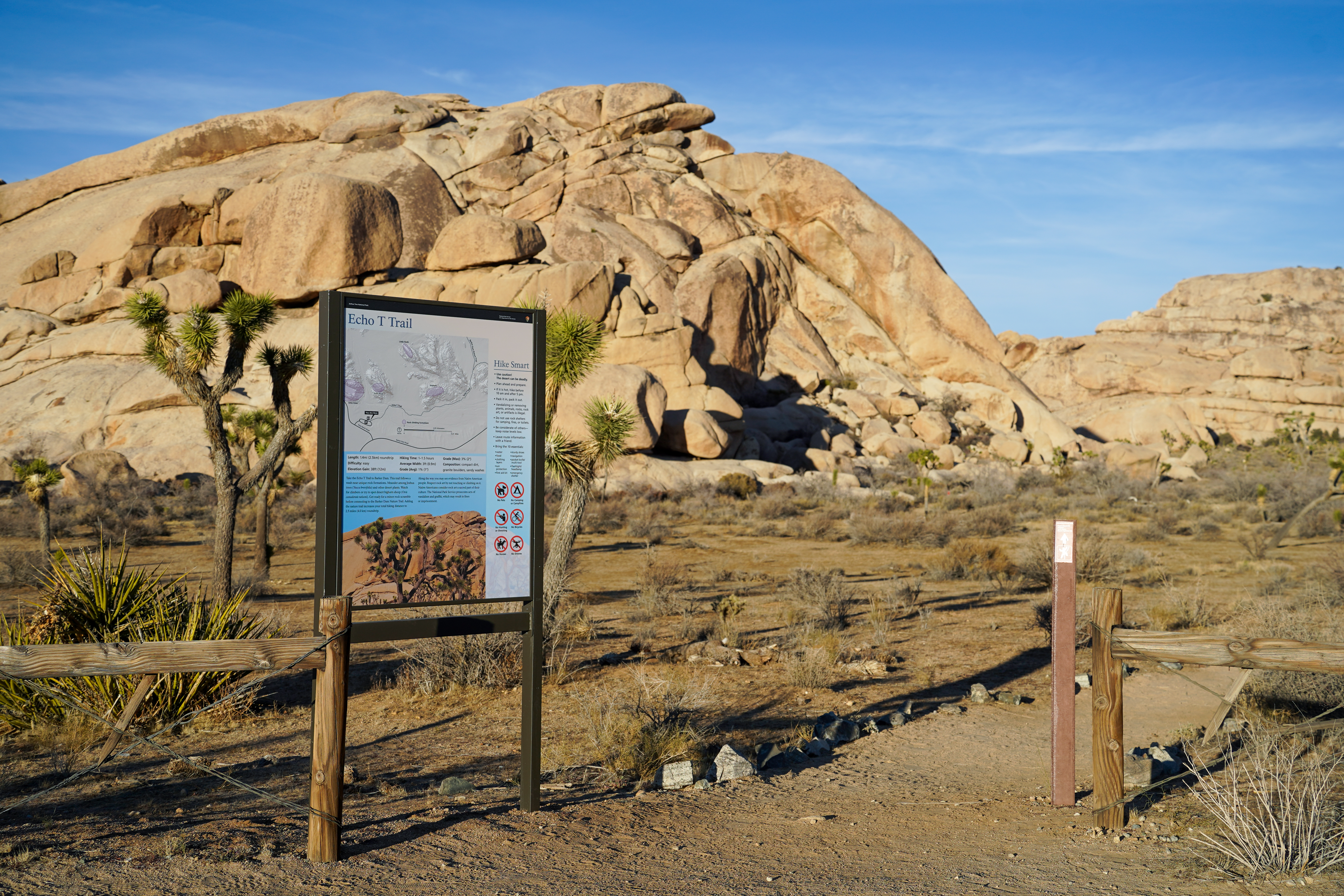 Echo T TrailheadHikingPhoto: NPS/Samantha Laarman0.8 mi
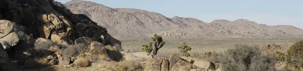 Sheep Pass GroupCampingPhoto: Recreation.gov (RIDB) / public domain2.6 mi
Source: Roamze catalog (indexable pages within 10 miles, PostGIS distance)
Barker Dam TrailHiking · Next doorPhoto: leighklotz, CC BY 2.0 (via Flickr) California Riding and Hiking TrailHiking · ~7 min drivePhoto: Tony Webster, CC BY 2.0 (via Flickr)Barker Dam NatureHiking · Next doorPhoto: Nfrastructure, CC BY 2.0 (via Flickr)
 Barker Dam TrailHiking · ~1 min drivePhoto: Matt_B13, CC BY 2.0 (via Flickr)
Best months: October–May. Best months have typical highs of 55–85 °F, lows of 30 °F or warmer (32 °F where the station doesn't record snow), at most one snowy day and no more than 12 wet days.
Jan
58° / 38°
4 wet
Feb
61° / 39°
3 wet
Mar
67° / 40°
3 wet
Apr
73° / 46°
2 wet
May
82° / 52°
1 wet
Jun
91° / 59°
0 wet
Jul
96° / 66°
2 wet
Aug
96° / 68°
2 wet
Sep
89° / 60°
2 wet
Oct
80° / 50°
1 wet
Nov
66° / 41°
2 wet
Dec
58° / 34°
4 wet
Typical high / low (°F) and days with rain or snow, 1991–2020. Measured at Yucca Valley, CA, 15.5 mi away at 3,249 ft. The station sits about 1,300 ft lower than this place, so expect it a little cooler here. This station doesn't record snowfall. Source: NOAA NCEI U.S. Climate Normals 1991–2020.
Map and trail data © OpenStreetMap contributors
