Annies Trail
 Photo: lewinb, CC BY-SA 2.0 (via Flickr)
- 2.1 mi
- loop
- 963 ft
- climb
- 2,236 ft
- high point
- Loop
- route
Annies Trail is a 2.1-mile loop on the Cold Canyon Headwaters Property in California, managed by a non-governmental organization. The trail starts and ends at about 1,487 feet, climbs to a high point of 2,236 feet, and drops back to the start, making it a roughly 963-foot round trip. The climb is front-loaded, with the steepest stretch at about 0.29 miles in, where the grade reaches 27 percent. The trail is rated moderate, and the trip takes about an hour. It works well as a short outing on its own or as a link to other routes in the area. The Homestead Trail lies about 0.8 miles away, and the Blue Ridge Trail is about 1.6 miles off. Climbers can find Purgatory Boulder and Heavy Metal Boulder about 3.9 miles away.
Local outfitters
- Point Reyes Outdoors47 mi away
Not on Roamze yet. Their page has how to reach them.
 Homestead TrailHikingPhoto: lewinb, CC BY-SA 2.0 (via Flickr)0.8 mi
 Blue Ridge TrailHikingPhoto: lewinb, CC BY-SA 2.0 (via Flickr)1.6 mi
- Purgatory BoulderRock climbing3.9 mi
- Heavy Metal BoulderRock climbing3.9 mi
- Putah CreekRock climbing3.9 mi
- Rich Valdez Memorial BoulderRock climbing3.9 mi
- Twin Fawn TrailHiking5.8 mi
 Smittle Creek TrailHikingPhoto: Bureau of Reclamation, CC BY-SA 2.0 (via Wikimedia Commons)9.2 mi
Source: Roamze catalog (indexable pages within 10 miles, PostGIS distance)
- Homestead TrailHiking · ~1 min drivePhoto: lewinb, CC BY-SA 2.0 (via Flickr)
 Al Patch Track FootpathHiking · ~22 min drivePhoto: Robert Couse-Baker from Sacramento, California, CC BY 2.0 (via Wikimedia Commons)
- Berryessa North End TrailHiking · ~25 min drive
- Blue Ridge TrailHiking · ~3 min drivePhoto: lewinb, CC BY-SA 2.0 (via Flickr)
 Chiles CreekHiking · ~23 min drivePhoto: Kurt Minard, CC BY-SA 3.0 (via Wikimedia Commons)
- Smittle Creek TrailHiking · ~16 min drivePhoto: Bureau of Reclamation, CC BY-SA 2.0 (via Wikimedia Commons)
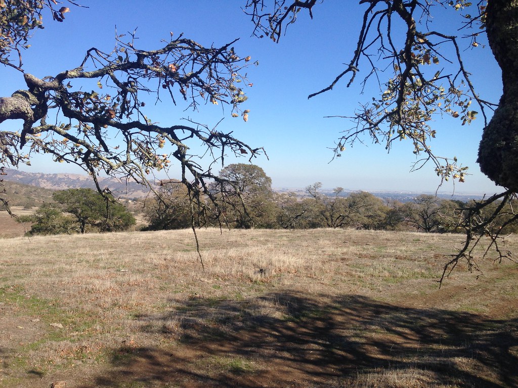 Doris Klein Ridge TrailHiking · ~25 min drivePhoto: Ben Chun, CC BY-SA 2.0 (via Flickr)
- Whiskey RidgeHiking · ~23 min drivePhoto: Kurt Minard, CC BY-SA 3.0 (via Wikimedia Commons)
- Mule LoopHiking · ~25 min drivePhoto: Ben Chun, CC BY-SA 2.0 (via Flickr)
- Conn PeakHiking · ~23 min drivePhoto: Kurt Minard, CC BY-SA 3.0 (via Wikimedia Commons)

Map and trail data © OpenStreetMap contributors
