Twin Fawn Trail
- 0.6 mi
- round trip
- 669 ft
- climb
- 1,522 ft
- high point
- Out and back
- route
- Oct–May
- best months
Twin Fawn Trail is a short, easy hike in California, about 2.5 miles from the town of Bucktown. The trail is an out-and-back route of about 1.1 miles, with a total climb of roughly 669 feet. The steepest part comes at about 0.47 miles in, where the grade reaches 37 percent. Spring and fall are the most comfortable times to go. Typical averages from a nearby weather station at Markley Cove show May and October highs around 79°F with lows in the upper 40s, while July and August average highs in the mid-90s. That station sits about 1,000 feet lower than the trail, so temperatures on the trail run cooler. Climbers will find Mother Boulder and Hidden Boulder about 4 miles away, and Hillcrest Boulders is a little farther. For another hike, Annies Trail lies about 6 miles off.
Local outfitters
- Point Reyes Outdoors46 mi away
Not on Roamze yet. Their page has how to reach them.
- Mother BoulderRock climbing4.2 mi
- Hidden BoulderRock climbing4.2 mi
- Hillcrest BouldersRock climbing4.3 mi
- Rump RoastRock climbing4.4 mi
 Annies TrailHikingPhoto: lewinb, CC BY-SA 2.0 (via Flickr)5.8 mi
 Homestead TrailHikingPhoto: lewinb, CC BY-SA 2.0 (via Flickr)6.4 mi
 Al Patch Track FootpathHikingPhoto: Robert Couse-Baker from Sacramento, California, CC BY 2.0 (via Wikimedia Commons)7 mi
- Suisun CreekCanoeing8 mi
Source: Roamze catalog (indexable pages within 10 miles, PostGIS distance)
- Annies TrailHiking · ~10 min drivePhoto: lewinb, CC BY-SA 2.0 (via Flickr)
- Al Patch Track FootpathHiking · ~12 min drivePhoto: Robert Couse-Baker from Sacramento, California, CC BY 2.0 (via Wikimedia Commons)
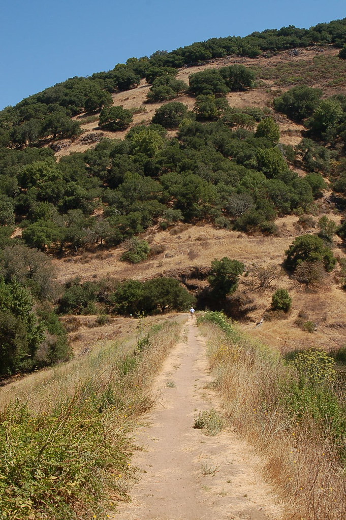 Skyline Trail (Bay Area Ridge Trail)Hiking · ~22 min drivePhoto: igb, CC BY 2.0 (via Flickr)
- Homestead TrailHiking · ~11 min drivePhoto: lewinb, CC BY-SA 2.0 (via Flickr)
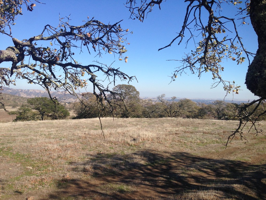 Doris Klein Ridge TrailHiking · ~17 min drivePhoto: Ben Chun, CC BY-SA 2.0 (via Flickr)
 Blue Ridge TrailHiking · ~12 min drivePhoto: lewinb, CC BY-SA 2.0 (via Flickr)
- Mule LoopHiking · ~18 min drivePhoto: Ben Chun, CC BY-SA 2.0 (via Flickr)
 Mule LoopHiking · ~18 min drivePhoto: Ben Chun, CC BY-SA 2.0 (via Flickr)
- Sul TrailHiking · ~18 min drivePhoto: Ben Chun, CC BY-SA 2.0 (via Flickr)
- Harmonia TrailHiking · ~18 min drivePhoto: Ben Chun, CC BY-SA 2.0 (via Flickr)
Best time to visit Twin Fawn Trail
Best months: October–May. Best months have typical highs of 55–85 °F, lows of 30 °F or warmer (32 °F where the station doesn't record snow), at most one snowy day and no more than 12 wet days.
Jan
57° / 36°
11 wet
Feb
61° / 38°
10 wet
Mar
66° / 40°
9 wet
Apr
71° / 43°
6 wet
May
79° / 49°
3 wet
Jun
88° / 54°
1 wet
Jul
95° / 57°
0 wet
Aug
94° / 56°
0 wet
Sep
90° / 53°
1 wet
Oct
79° / 47°
3 wet
Nov
66° / 41°
7 wet
Dec
57° / 36°
11 wet
Typical high / low (°F) and days with rain or snow, 1991–2020. Measured at Markley Cove, CA, 6.9 mi away at 480 ft. The station sits about 1,000 ft lower than this place, so expect it a little cooler here. Source: NOAA NCEI U.S. Climate Normals 1991–2020.

Map and trail data © OpenStreetMap contributors
