Elliot Ranch
Campground
Campground · 1.5 mi from the trail
Alert in the area
The Forest Service lists an alert for Tahoe National Forest.
Camping and Campfire Restrictions-Truckee and Sierraville Districts
Agency alert covering Tahoe National Forest · Order 17-25-05 · USFS · Tahoe National Forest
As of · Source: USFS · Tahoe National Forest. Agencies don't list every closure — check before you go.
American Eagle is a short, easy out-and-back hike in California's Tahoe National Forest, within the American River Ranger District and along the North Fork American, California Wild and Scenic River. The trail is 1.6 miles long, with a low point of 2,048 feet and a high of 2,212 feet, and it gains about 180 feet of elevation. The Forest Service manages the land. The route is natural-surfaced and allows bikes, so it works for hikers and riders alike. It stays open year-round, and the most comfortable stretch for a visit runs from late spring into early fall. Typical averages from a nearby weather station in Colfax show May highs around 74°F and October highs around 75°F, with only a few wet days in each month. July and August are the hottest, with highs in the low 90s. Nearby, Euchre Bar and Italian Bar are both hikes about 2.5 miles away. Foresthill Divide Road offers lake fishing at about 3.3 miles, and Shirttail Campground sits roughly 4 miles off.
Elliot Ranch
Campground
Dutch Flat Trading Post
Pub
Golden Drift Museum
Museum
Places © OpenStreetMap contributors
More in Nevada CityNot on Roamze yet. Their page has how to reach them.
Best months: January–June and October–November. Best months have typical highs of 55–85 °F, lows of 30 °F or warmer (32 °F where the station doesn't record snow), at most one snowy day and no more than 12 wet days.
Jan
55° / 37°
11 wet
Feb
57° / 37°
11 wet
Mar
60° / 40°
11 wet
Apr
66° / 43°
8 wet
May
74° / 49°
5 wet
Jun
83° / 56°
2 wet
Jul
92° / 63°
0 wet
Aug
91° / 61°
1 wet
Sep
86° / 57°
1 wet
Oct
75° / 49°
4 wet
Nov
61° / 41°
9 wet
Dec
54° / 36°
11 wet
Typical high / low (°F) and days with rain or snow, 1991–2020. Measured at Colfax, CA, 13.3 mi away at 2,380 ft. This station doesn't record snowfall. Source: NOAA NCEI U.S. Climate Normals 1991–2020.
 Photo: epicanis, CC BY-SA 3.0 (via Wikimedia Commons)
Euchre Bar
~4 min drive
8-mile out-and-back trail in California with 1,736 ft elevation gain.
 Photo: Alexandre Ultré, CC BY-SA 3.0 (via Wikimedia Commons)
Green Valley Trail
~7 min drive
5.16-mile out-and-back hike in California with 3,089 ft elevation gain and loss.
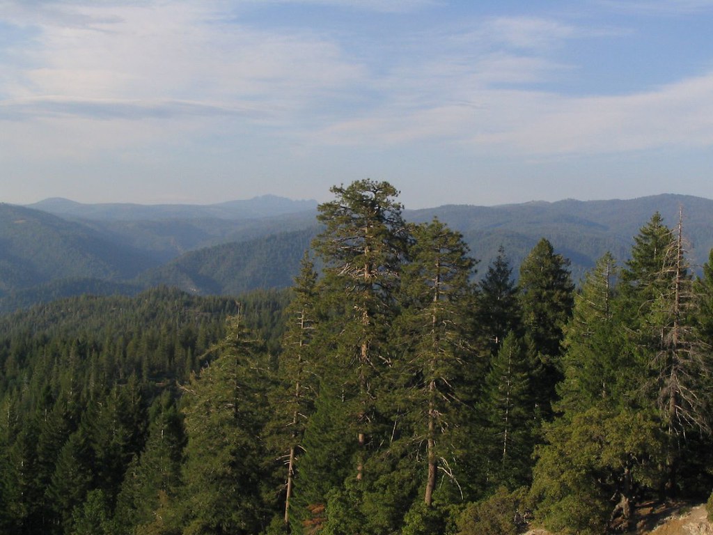 Photo: Ken Lund, CC BY-SA 2.0 (via Flickr)
OMEGA MC TRAIL
~16 min drive
9.26-mile out-and-back trail in California with 1,583 ft elevation gain and loss.
 Photo: ColfaxTeri, CC BY-SA 4.0 (via Wikimedia Commons)
Stevens Trail
~17 min drive
7.62-mile out-and-back hike in California with 4,552 ft elevation gain/loss
 Photo: Kurt Minard, CC BY-SA 3.0 (via Wikimedia Commons)
Mears Lake Valley
~14 min drive
6.40-mile out-and-back trail in California with 1,755 ft elevation gain.
HIKE
HUMBUG (LOOP 5)
~6 min drive
1.2-mile out-and-back trail in California with 427 ft elevation gain.
 Photo: jdnx, CC BY 2.0 (via Flickr)
LAST CHANCE MC TRAIL
~17 min drive
9.78-mile out-and-back hike in California with 1,982 ft elevation gain.
HIKE
CODFISH (LOOP 6)
~8 min drive
15.59-mile loop trail in California with 3,653 ft elevation gain and loss.
Photo: Ken Lund, CC BY-SA 2.0 (via Flickr)DEER CREEK MC
~16 min drive
16.8-mile out-and-back trail in California with 2,077 ft elevation gain and loss.
HIKE
PARKER FLAT (LOOP 1)
~6 min drive
2.04-mile out-and-back trail in California with 649 ft elevation gain
