Aloha Mobile Village
Campground
Campground · 6.4 mi from the trail
Alviso Slough Trail is a 23.3-mile out-and-back hike on the Don Edwards San Francisco Bay National Wildlife Refuge in California, managed by the U.S. Fish and Wildlife Service. The route is rated moderate, with a total elevation gain of 125 feet and a total loss of 125 feet over the round trip. The trail is nearly flat, with the high point at about 5 feet and the low point at about 0 feet. The most comfortable stretch for a visit runs from late spring through early fall. Typical averages from a nearby weather station at Moffett Federal Airfield show highs around 72°F in May and 78°F in September, with only a few wet days in summer. Winter brings highs near 59°F and about 10 to 11 wet days a month. The trip takes about 8 hours. The Mallard Slough Trail Spur lies about 2 miles away, and the Mallard Slough Trail is about 2.5 miles off. The West Lagoon Trail and the Fitness Trail are both within about 4 miles.
Aloha Mobile Village
Campground
 If it rainsJets.hunt at English Wikipedia, CC BY-SA 4.0 · Wikimedia Commons
Places © OpenStreetMap contributors, Places © Overture Maps Foundation · Photos: Jets.hunt at English Wikipedia, CC BY-SA 4.0 (commons)
More in Pescadero Mallard Slough Trail SpurHikingPhoto: PLeia2, CC BY 2.0 (via Flickr)2 mi
 Mallard Slough TrailHikingPhoto: donjd2, CC BY 2.0 (via Flickr)2.5 mi
 Adobe Creek Loop TrailHikingPhoto: bsterling, CC BY-SA 2.0 (via Flickr)4.9 mi
Source: Roamze catalog (indexable pages within 10 miles, PostGIS distance)
Mallard Slough Trail SpurHiking · ~3 min drivePhoto: PLeia2, CC BY 2.0 (via Flickr) Hidden Valley TrailHiking · ~11 min drivePhoto: J Doll, CC BY 3.0 (via Wikimedia Commons)Mallard Slough TrailHiking · ~4 min drivePhoto: donjd2, CC BY 2.0 (via Flickr)
 Bay Area Ridge TrailHiking · ~13 min drivePhoto: Lukáš Lalinský, CC BY-SA 2.0 (via Flickr)Adobe Creek Loop TrailHiking · ~8 min drivePhoto: bsterling, CC BY-SA 2.0 (via Flickr)
 Shoreline TrailHiking · ~13 min drivePhoto: sdjaspal, CC BY 3.0 (via Wikimedia Commons)
 Adobe Creek TrailHiking · ~9 min drivePhoto: bsterling, CC BY-SA 2.0 (via Flickr)Horse Heaven TrailHiking · ~13 min drivePhoto: J Doll, CC BY 3.0 (via Wikimedia Commons)
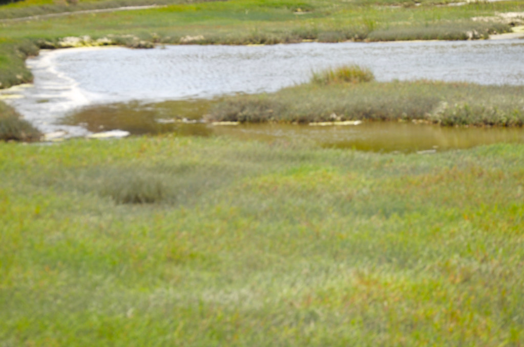 Newark Slough TrailHiking · ~12 min drivePhoto: Pussreboots, CC BY 2.0 (via Flickr)Peak Meadow TrailHiking · ~13 min drivePhoto: J Doll, CC BY 3.0 (via Wikimedia Commons)
Best months: Year-round. Best months have typical highs of 55–85 °F, lows of 30 °F or warmer (32 °F where the station doesn't record snow), at most one snowy day and no more than 12 wet days.
Jan
59° / 42°
11 wet
Feb
62° / 44°
11 wet
Mar
65° / 47°
10 wet
Apr
68° / 49°
6 wet
May
72° / 53°
3 wet
Jun
76° / 56°
1 wet
Jul
77° / 59°
0 wet
Aug
77° / 59°
0 wet
Sep
78° / 57°
1 wet
Oct
74° / 53°
4 wet
Nov
66° / 46°
8 wet
Dec
59° / 42°
10 wet
Typical high / low (°F) and days with rain or snow, 1991–2020. Measured at Moffett Federal Airfield, CA, 3.6 mi away at 39 ft. This station doesn't record snowfall. Source: NOAA NCEI U.S. Climate Normals 1991–2020.
Map and trail data © OpenStreetMap contributors
