South Fork
- from $29
- fee
- Feb–Jun, Sep–Nov
- best months
Is South Fork open right now?
Closure in the area
There's a closure order in Stanislaus National Forest. It doesn't name South Fork, so check the source for the area it covers (2 listed).
Stanislaus National Forest extends seasonal MVUM closure for two high elevation roads
Agency closure covering Stanislaus National Forest · USFS · Stanislaus National Forest
Extension of Seasonal Road Closures
Agency closure covering Stanislaus National Forest · USFS · Stanislaus National Forest
As of · Source: USFS · Stanislaus National Forest. Agencies don't list every closure — check before you go.
- At 1,531 ft
- Groveland Ranger DistrictStanislaus National Forest
South Fork is a Forest Service campground in the Groveland Ranger District of Stanislaus National Forest in California. It sits among a cluster of campgrounds and trails, with Lumsden just 0.3 miles away and Lost Claim about 1.2 miles off. The site has vault toilets, and overnight use at a single site costs $29 per night. That makes it a simple, low-cost base for a stay in the district. For comfortable weather, aim for late spring or early fall. Typical averages from a nearby weather station in Groveland show May highs around 73°F and October highs around 74°F, while July and August average about 91°F. Tuolumne Canyon and the Golden Stairs Trail are both within about a mile, and paddlers can reach the South Fork Tuolumne River roughly 9 miles away.
Best time to go · Feb–Jun, Sep–Nov
Best time to visit South Fork
Best months: February–June and September–November. Best months have typical highs of 55–85 °F, lows of 30 °F or warmer (32 °F where the station doesn't record snow), at most one snowy day and no more than 12 wet days.
Jan
53° / 31°
10 wet
Feb
55° / 32°
9 wet
Mar
60° / 35°
10 wet
Apr
65° / 38°
7 wet
May
73° / 44°
4 wet
Jun
83° / 51°
1 wet
Jul
91° / 56°
0 wet
Aug
91° / 55°
1 wet
Sep
85° / 50°
2 wet
Oct
74° / 42°
4 wet
Nov
60° / 35°
8 wet
Dec
52° / 31°
10 wet
Typical high / low (°F) and days with rain or snow, 1991–2020. Measured at Groveland 2, CA, 9.9 mi away at 2,800 ft. The station sits about 1,300 ft higher than this place, so expect it a little warmer here. This station doesn't record snowfall. Source: NOAA NCEI U.S. Climate Normals 1991–2020.
Keep exploring — more campsites worth the drive
BED
Hodgdon Meadow Campground
~17 min drive
BED
Crane Flat Campground
~21 min drive
BED
Cherry Valley
~21 min drive
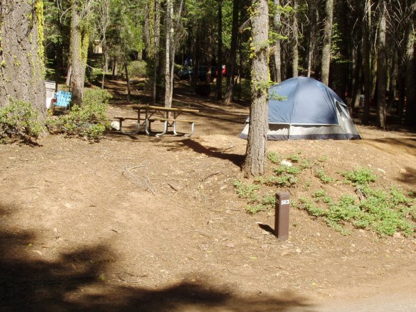 Photo: Eeekster, CC BY 3.0 (via Wikimedia Commons)
Crane Flat Campground
~25 min drive
Crane Flat Campground is a campground in California at about 6,143 feet. It is managed by the National Park Service.
BED
Dimond O
~17 min drive
BED
Lumsden
Next door
BED
Lumsden Bridge Campground
~2 min drive
Lumsden Bridge Campground is a campground in California at about 1,517 feet. It is managed by the U.S. Forest Service.
BED
Lost Claim
~2 min drive
BED
San José Family Camp
~4 min drive
San José Family Camp is a campground in California at about 2,866 feet. It is managed by the U.S. Forest Service.
BED
Sweetwater
~4 min drive

