Quaking Aspen
Campground
Campground · < 0.1 mi from the trail
Closure in the area
There's a closure order in Sequoia National Forest. It doesn't name Quaking Aspen, so check the source for the area it covers (2 listed).
Tule River Glass Container Prohibition Area
Agency closure covering Sequoia National Forest · Order 0513-26-02 · USFS · Sequoia National Forest
Trail of 100 Giants Boardwalk and Area Closure
Agency closure covering Sequoia National Forest · Order 0513-26-03 · USFS · Sequoia National Forest
PUBLIC NUDITY PROHIBITION - Sequoia National Forest
Agency alert covering Sequoia National Forest · Order 0513-26-06 · USFS · Sequoia National Forest
Chico Flat Dispersed Camping Area Prohibition 26-27
Agency alert covering Sequoia National Forest · Order 0513-26-09 · USFS · Sequoia National Forest
Wildlife Alert - BEARS
Agency alert covering Sequoia National Forest · USFS · Sequoia National Forest
As of · Source: USFS · Sequoia National Forest. Agencies don't list every closure — check before you go.
Located along the Western Divide Highway a quarter of a mile past the end of State Highway 190 (27 miles east of Springville). The campground was named for the quaking aspen trees that grow in the area. The trees are a shimmering brilliant green in the spring and deep russet-gold in the fall. Hiking is available on the many trails near the campground. The campground has 32 single family units, two of which are accessible, including a vault toilet. Some units can accommodate recreational vehicles up to a maximum length of 24 feet. Sanitary facilities, potable water, tables, and BBQ stoves are provided. Open from May 15th through October 15th weather depending. Elevation is 7,200 feet. Fishing season is open for Peppermint Creek and streams in the Golden Trout Wilderness from the last Saturday in April to November 15 the Tule River Drainage, which includes Boulder and Belknap Creeks, and the Tule River, are open to fishing year around. Consult the CA Department of Fish and Wildlife for specific regulations. Supplies are available at Ponderosa Lodge located approximately 2 miles from the campground. Group sites are adjacent to the main campground, and are available by RESERVATION ONLY. There are three 12 person sites, two 25 person sites, and two 50 person sites available. The parking area does not accommodate RV hookups. New for the 2015 season are furnished Yurts (canvas tents elevated on a platform) available through reservation only. Nearby Hiking Trails Summit Trail passes through the campground climbing Slate Mountain, or in the opposite direction, to the Golden Trout Wilderness, forking left to Maggie Lakes, and right to Grey Meadow. Freeman Creek Trail meanders through Freeman Sequoia Grove (which is the site of the President George Bush Giant Sequoia tree) and into the Golden Trout Wilderness, either at Jerky or the Forks-of-the-Kern Trailheads. Dome Rocky's 4 miles south of Quaking Aspen and a short walk to the top from the end of the road for a fine view of
Quaking Aspen
Campground
Slate Mountain Saloon
Bar and grill restaurant
Kern Hot Spring
Hot spring
Places © OpenStreetMap contributors, Places © Overture Maps Foundation
More in Silver City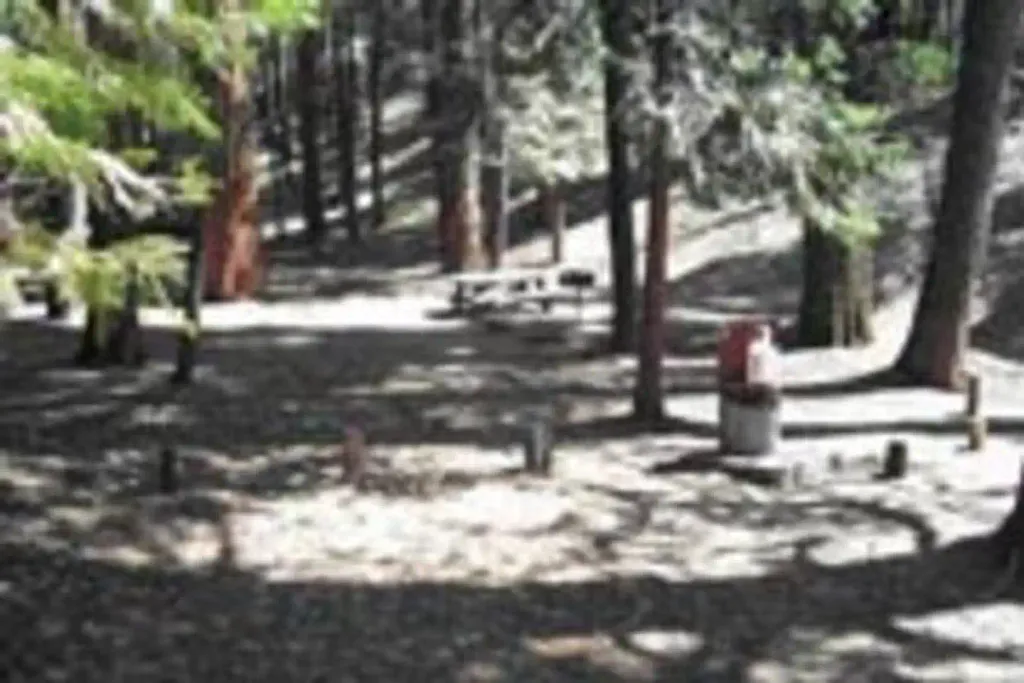 BelknapCampingPhoto: Recreation.gov (RIDB) / public domain3.5 mi
Source: Roamze catalog (indexable pages within 10 miles, PostGIS distance)
Best months: June–October. Best months have typical highs of 55–85 °F, lows of 30 °F or warmer (32 °F where the station doesn't record snow), at most one snowy day and no more than 12 wet days.
Jan
39° / 17°
9 wet · 8 snow
Feb
41° / 18°
10 wet · 8 snow
Mar
45° / 22°
10 wet · 8 snow
Apr
50° / 26°
8 wet · 5 snow
May
58° / 33°
5 wet · 2 snow
Jun
68° / 40°
3 wet
Jul
76° / 46°
2 wet
Aug
76° / 44°
2 wet
Sep
70° / 39°
2 wet
Oct
59° / 31°
4 wet · 1 snow
Nov
47° / 23°
6 wet · 4 snow
Dec
37° / 17°
8 wet · 6 snow
Typical high / low (°F) and days with rain or snow, 1991–2020. Measured at Lodgepole, CA, 31.9 mi away at 6,735 ft. Source: NOAA NCEI U.S. Climate Normals 1991–2020.

