Meadow Lake
- Jun–Aug
- best months
Is Meadow Lake open right now?
Alert in the area
The Forest Service lists an alert for Tahoe National Forest.
Camping and Campfire Restrictions-Truckee and Sierraville Districts
Agency alert covering Tahoe National Forest · Order 17-25-05 · USFS · Tahoe National Forest
As of · Source: USFS · Tahoe National Forest. Agencies don't list every closure — check before you go.
- At 7,293 ft
- Sierraville Ranger DistrictTahoe National Forest
Meadow Lake Campground is a Forest Service campground in the Sierraville Ranger District of Tahoe National Forest in California. It sits at a reservoir maintained and operated as a recreational facility by Pacific Gas and Electric (PG&E). The campground has 15 rustic campsites, each with a table and grill, plus vault toilets. Small trailers and campers can fit, and the Fordyce Jeep Trail is close by. Another 10 campsites sit at the nearby Meadow Lake Shoreline Campground. A fee is charged. Summer is the warmest stretch. July typically brings highs around 80°F and lows near 37°F at the nearest weather station, Sagehen Creek, about 14 miles away. That station sits roughly 950 feet below the campground, so temperatures at the lake run cooler. Meadow Lake Shoreline is about half a mile away, and Meadow Knoll OHV campground is about 1.3 miles off. The Baltimore Trail (13E34) is roughly 1.5 miles away, and Fordyce Creek offers paddling about 3 miles out.
Best time to go · Jun–Aug
Best time to visit Meadow Lake
Best months: June–August. Best months have typical highs of 55–85 °F, lows of 30 °F or warmer (32 °F where the station doesn't record snow), at most one snowy day and no more than 12 wet days.
Jan
40° / 15°
Feb
41° / 15°
Mar
48° / 19°
Apr
53° / 22°
May
62° / 28°
Jun
72° / 32°
Jul
80° / 37°
Aug
79° / 35°
Sep
73° / 31°
Oct
61° / 24°
Nov
49° / 20°
Dec
39° / 14°
Typical high / low (°F) and days with rain or snow, 1991–2020. Measured at Sagehen Creek, CA, 14 mi away at 6,337 ft. The station sits about 1,000 ft lower than this place, so expect it a little cooler here. This station doesn't record snowfall. Source: NOAA NCEI U.S. Climate Normals 1991–2020.
Keep exploring — more campsites worth the drive
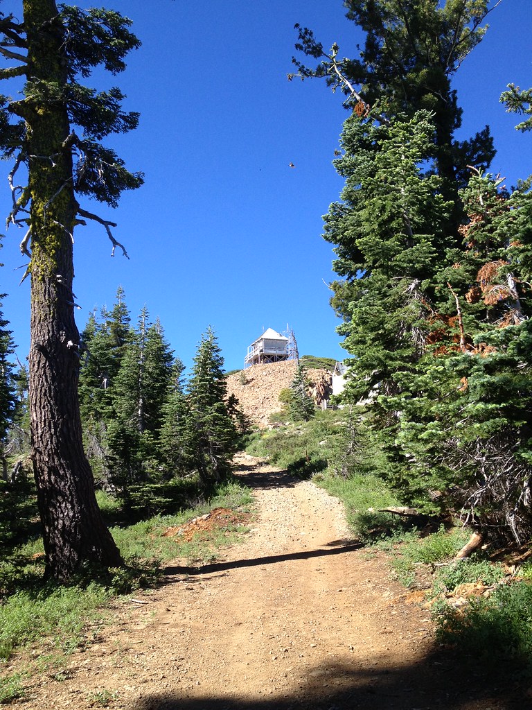 Photo: ray_explores — CC BY 2.0 (via Flickr)
Grouse Ridge
~10 min drive
 Photo: donner summit historical society — Public Domain Mark 1.0 (via Flickr)
Hampshire Rocks Cg
~12 min drive
BED
Meadow Lake Shoreline
~1 min drive
BED
Meadow Knoll OHV
~2 min drive
BED
Lacey Creek
~5 min drive
Lacey Creek is a campground in California at about 7,529 feet. It is managed by the U.S. Forest Service.
BED
Five Lakes Basin
~6 min drive
Five Lakes Basin is a campground in California with 25 sites.
BED
Beyers Lakes
~6 min drive
Beyers Lakes is a 15-site campground in California managed by the Forest Service.
BED
Sterling Lake - Cg (Campground)
~7 min drive
BED
Camp Robert L. Cole
~7 min drive
Camp Robert L. Cole is a campground in California at about 7,086 feet. It is managed by the U.S. Forest Service.
BED
Canyon Creek Campground
~8 min drive
Canyon Creek Campground is a campground in California at about 5,963 feet. It is managed by the U.S. Forest Service.


