Lodgepole Campground
Campground
Campground · < 0.1 mi from the trail
Alert in the area
The Forest Service lists an alert for Tahoe National Forest.
Camping and Campfire Restrictions-Truckee and Sierraville Districts
Agency alert covering Tahoe National Forest · Order 17-25-05 · USFS · Tahoe National Forest
As of · Source: USFS · Tahoe National Forest. Agencies don't list every closure — check before you go.
Lodgepole Campground is a campground in California at about 5,709 feet.
Lodgepole Campground
Campground
The Rustic Table
Restaurant
Golden Drift Museum
Museum
Places © OpenStreetMap contributors
More in Nevada CityBest months: May–October. Best months have typical highs of 55–85 °F, lows of 30 °F or warmer (32 °F where the station doesn't record snow), at most one snowy day and no more than 12 wet days.
Jan
44° / 25°
Feb
46° / 26°
Mar
51° / 27°
Apr
56° / 30°
May
64° / 37°
Jun
75° / 43°
Jul
82° / 48°
Aug
82° / 47°
Sep
76° / 44°
Oct
65° / 37°
Nov
51° / 30°
Dec
43° / 25°
Typical high / low (°F) and days with rain or snow, 1991–2020. Measured at Lake Spaulding, CA, 2.6 mi away at 5,156 ft. The station sits about 600 ft lower than this place, so expect it a little cooler here. This station doesn't record snowfall. Source: NOAA NCEI U.S. Climate Normals 1991–2020.
BED
North Fork (ca)
~6 min drive
 Photo: donner summit historical society — Public Domain Mark 1.0 (via Flickr)
Hampshire Rocks Cg
~9 min drive
BED
Tunnel Mills II
~7 min drive
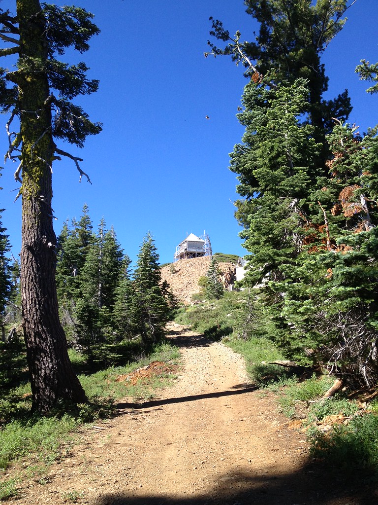 Photo: ray_explores — CC BY 2.0 (via Flickr)
Grouse Ridge
~11 min drive
BED
Lake Valley
Next door
Lake Valley is a 50-site campground in California managed by the Forest Service.
BED
Sky Mountain SJCOE
Next door
Sky Mountain SJCOE is a campground in California at about 5,869 feet.
BED
Redwood
~2 min drive
Redwood is a campground in California at about 5,811 feet.
BED
Snowflower RV Resort
~2 min drive
Snowflower RV Resort is a campground in California at about 5,826 feet.
BED
Sierra
~2 min drive
Sierra is a campground in California at about 6,173 feet.
BED
Tahoe
~2 min drive
Tahoe is a campground in California at about 6,190 feet.
Map and trail data © OpenStreetMap contributors


