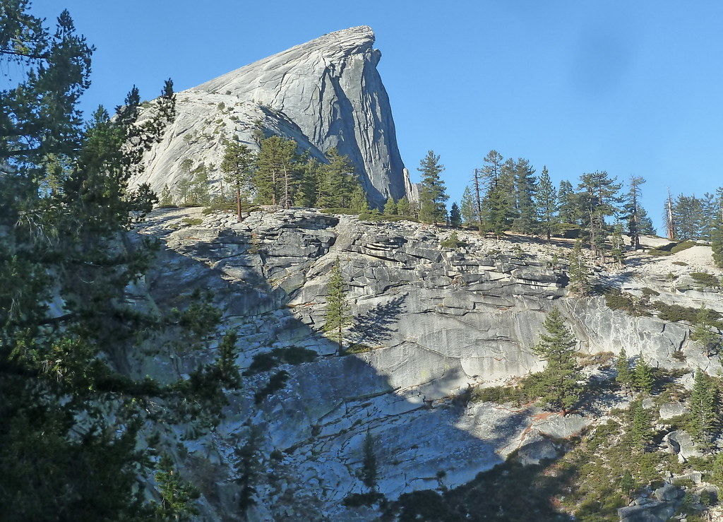
Jerseydale
Campground
Campground · < 0.1 mi from the trail
Closure in the area
There's a closure order in Sierra National Forest. It doesn't name Jerseydale, so check the source for the area it covers (3 listed).
Safety Tips for Burned Areas: Garnet Fire Area
Agency closure covering Sierra National Forest · USFS · Sierra National Forest
Wilderness Food and Refuse Storage
Agency closure covering Sierra National Forest · Order 05-15-00-26-03 · USFS · Sierra National Forest
Food and Refuse Storage
Agency closure covering Sierra National Forest · Order 05-15-00-26-02 · USFS · Sierra National Forest
Forest Order removes Fish Camp, Soda Springs, and Little Jackass from closure list
Agency alert covering Sierra National Forest · Order 05-15-00-26-11 · USFS · Sierra National Forest
Ansel Adams and John Muir Wilderness Campfire Restrictions
Agency alert covering Sierra National Forest · Order 05-15-00-26-09 · USFS · Sierra National Forest
As of · Source: USFS · Sierra National Forest. Agencies don't list every closure — check before you go.
Jerseydale is a Forest Service campground in the Bass Lake Ranger District of Sierra National Forest in California, about 19 miles from Yosemite Park headquarters. The land is managed by the Forest Service, and the site is set up for overnight stays at a single site, with vault toilets as the only facility. The fee for overnight use is $10 per night. That makes it a straightforward base for a short stay, and the vault toilets are the only amenity on site, so plan accordingly. For the most comfortable conditions, aim for late spring or early fall. Typical averages from a nearby weather station run from highs around 70°F in May to 71°F in October, while July and August average highs near 89°F and winter highs sit in the upper 40s. Several trails start close by, including Footman Trail and Windlass Ridge Trail, both about a mile away, and Skelton Creek at roughly 1.7 miles. For a longer trip, Dirt Flat campground is about 8.5 miles off.
Jerseydale
Campground
Canyon Bar & Grill
Restaurant
Roosevelt Point
Viewpoint
Scenic viewpoint in Yosemite National Park
Places © OpenStreetMap contributors
More in Yosemite ValleyNot on Roamze yet. Their page has how to reach them.
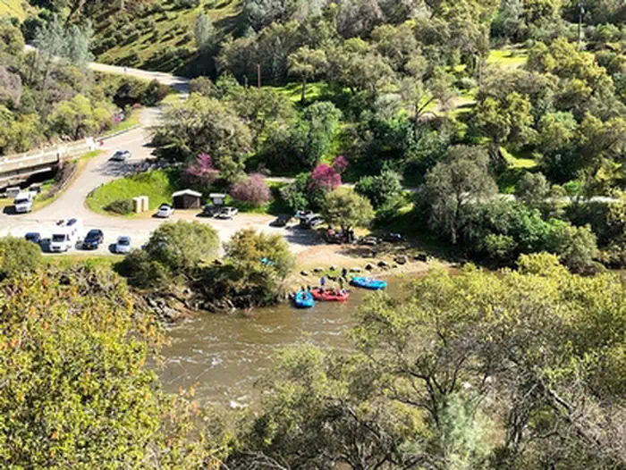 Briceburg Put-inRiver fishing8.2 mi
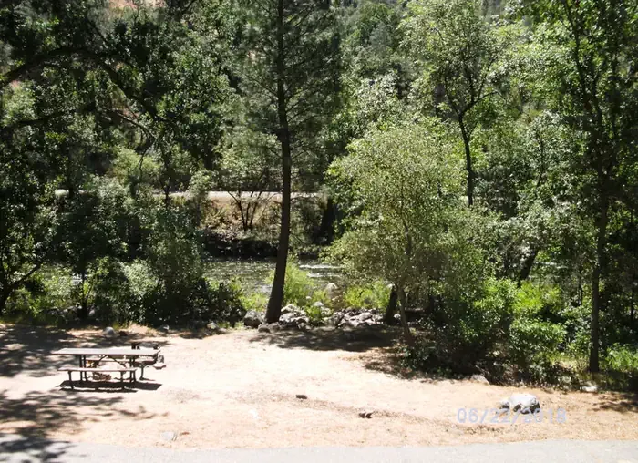 Dirt FlatCampingPhoto: Recreation.gov (RIDB) / public domain8.5 mi
Source: Roamze catalog (indexable pages within 10 miles, PostGIS distance)
 Wawona CampgroundCamping · ~15 min drivePhoto: niiicedave — CC BY-SA 2.0 (via Flickr)
 Camp WawonaCamping · ~20 min drivePhoto: nakamuraphotography — CC BY-SA 2.0 (via Flickr)
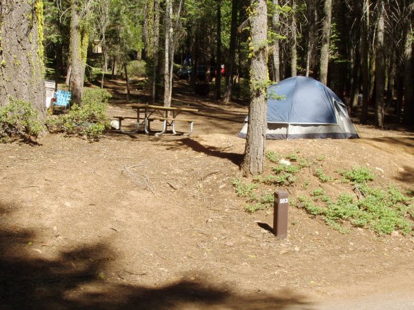 Crane Flat CampgroundCamping · ~24 min drivePhoto: Eeekster, CC BY 3.0 (via Wikimedia Commons)
 Tamarack Flat CampgroundCamping · ~26 min drivePhoto: Eeekster, CC BY 3.0 (via Wikimedia Commons)
Best months: March–June and September–November. Best months have typical highs of 55–85 °F, lows of 30 °F or warmer (32 °F where the station doesn't record snow), at most one snowy day and no more than 12 wet days.
Jan
48° / 29°
9 wet
Feb
51° / 30°
9 wet
Mar
57° / 33°
10 wet
Apr
63° / 38°
8 wet
May
70° / 45°
6 wet
Jun
80° / 51°
3 wet
Jul
89° / 57°
1 wet
Aug
89° / 57°
1 wet
Sep
83° / 51°
2 wet
Oct
71° / 41°
3 wet
Nov
56° / 32°
6 wet
Dec
46° / 28°
8 wet
Typical high / low (°F) and days with rain or snow, 1991–2020. Measured at Yosemite Park Hq, CA, 19.7 mi away at 4,018 ft. This station doesn't record snowfall. Source: NOAA NCEI U.S. Climate Normals 1991–2020.