Cordoniz Group Area South
- Oct–May
- best months
- At 743 ft
Cordoniz Group Area South is a campground in California at about 743 feet. It is managed by the U.S. Army Corps of Engineers.
- Codorniz Recreation Area CampgroundCamping0.4 mi
- Cordoniz Boat RampBoat launch0.5 mi
- Chowchilla Recreation Area Day UseCamping1.4 mi
- Chowchilla Boat RampBoat launch1.5 mi
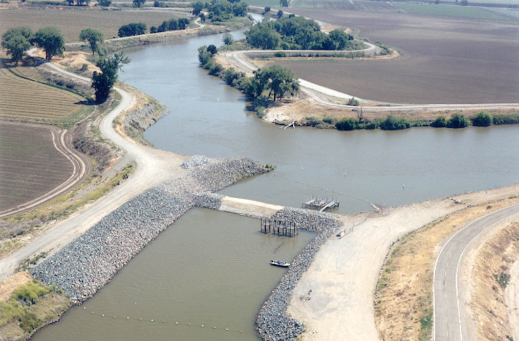 San Joaquin RiverCanoeingPhoto: MCalamari, Public domain (via Wikimedia Commons)3.1 mi
- Chowchilla RiverCanoeing3.5 mi
- Shaw-Shuck nature TrailHiking7.2 mi
- Buck RidgeCamping7.8 mi
Source: Roamze catalog (indexable pages within 10 miles, PostGIS distance)
- Crane ValleyCamping · ~38 min drive
- Cordoniz Group Area NorthCamping · Next door
- Cordoniz CampgroundCamping · Next door
- Codorniz Recreation Area CampgroundCamping · Next door
- Wildcat Equestrian AreaCamping · Next door
- Wildcat Primitive CampgroundCamping · Next door
- Chowchilla Recreation Area Day UseCamping · ~2 min drive
- Group BCamping · ~12 min drive
- Group ACamping · ~13 min drive
- Hidden View CampgroundCamping · ~13 min drive
Best time to visit Cordoniz Group Area South
Best months: October–May. Best months have typical highs of 55–85 °F, lows of 30 °F or warmer (32 °F where the station doesn't record snow), at most one snowy day and no more than 12 wet days.
Jan
57° / 39°
10 wet
Feb
63° / 41°
10 wet
Mar
69° / 44°
9 wet
Apr
75° / 46°
5 wet
May
84° / 52°
2 wet
Jun
92° / 58°
1 wet
Jul
98° / 63°
0 wet
Aug
97° / 61°
0 wet
Sep
92° / 58°
1 wet
Oct
80° / 50°
3 wet
Nov
66° / 42°
7 wet
Dec
56° / 38°
10 wet
Typical high / low (°F) and days with rain or snow, 1991–2020. Measured at Madera Muni Ap, CA, 17.6 mi away at 253 ft. This station doesn't record snowfall. Source: NOAA NCEI U.S. Climate Normals 1991–2020.

Map and trail data © OpenStreetMap contributors
