Buckhorn
Campground
Campground · < 0.1 mi from the trail
Alert in the area
The Forest Service lists 7 alerts for Angeles National Forest.
Rincon-Redbox Road (2N24) Closure
Agency alert covering Angeles National Forest · Order 05-01-26-13 · USFS · Angeles National Forest
Fire Danger Level Elevated to "Very High"
Agency alert covering Angeles National Forest · USFS · Angeles National Forest
San Gabriel Canyon OHV Area Prohibitions
Agency alert covering Angeles National Forest · Order 05-01-26-09 · USFS · Angeles National Forest
San Dimas Experimental Forest Closure
Agency alert covering Angeles National Forest · USFS · Angeles National Forest
Eaton Fire Area Closure
Agency alert covering Angeles National Forest · Order 05-01-26-04 · USFS · Angeles National Forest
As of · Source: USFS · Angeles National Forest. Agencies don't list every closure — check before you go.
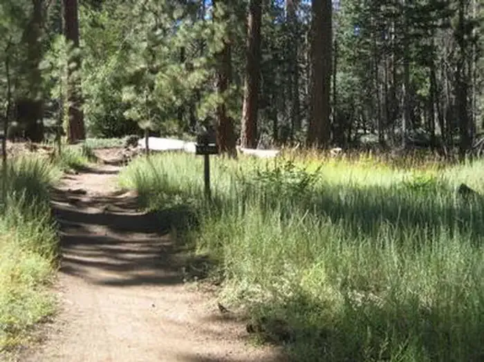
Buckhorn Campground can be the quick escape you need from LA. The campground is drenched in the fresh air with the smell of incense cedars surrounding visitors. Overnight, campers may spot seasonal constellations, planets, and the occasional shooting star. During the day, visitors can venture to nearby waterfalls or trails including the Burkhart Trail, Pacific Crest Trail, and Silver Moccasin. Buckhorn Campground has much to offer. Amenities: 38 total campsites with3 accessible campsites.3-singleSST toilets, 2-double SST toilets, 2-doublevault toilets. Piped water. Hiking: Access to Burkhart Trailhead; the Burkhart Trail, the Silver Moccasin National Recreation Trail, the Pacific Crest Trail, and the High Desert National Recreation Trail. Waterplay: Access to Buckhorn Creek, Buckhorn Falls, and Cooper Canyon Falls. RV 's: Maximum RV length is 18 '- No hookups.
Buckhorn
Campground
Warming Hut
Restaurant
 If it rainsBoothsift, CC BY-SA 4.0 · Wikimedia Commons
Places © OpenStreetMap contributors · Photos: Boothsift, CC BY-SA 4.0 (commons)
More in Acton Twin PeaksHikingPhoto: Henry Chen, CC BY-SA 2.0 (via Flickr)1.7 mi
 Ramblin' WallRock climbingPhoto: RuggyBearLA, CC BY 2.0 (via Flickr)2.2 mi
 Freezer Burn WallRock climbingPhoto: RuggyBearLA, CC BY 2.0 (via Flickr)2.2 mi
 Deer Group CampCampingPhoto: Recreation.gov (RIDB) / public domain4.3 mi
 West Fork San Gabriel RiverCanoeingPhoto: Eeekster, CC BY 3.0 (via Wikimedia Commons)7.7 mi
 San Gabriel RiverCanoeingPhoto: Emarateyya, Muna Al Zaabi, CC BY-SA 3.0 (via Wikimedia Commons)9.9 mi
Source: Roamze catalog (indexable pages within 10 miles, PostGIS distance)
Also worth it near here
 PCT Dawson SaddleMountain biking · ~2 min drivePhoto: Ian D. Keating, CC BY 2.0 (via Wikimedia Commons)Twin PeaksHiking · ~3 min drivePhoto: Henry Chen, CC BY-SA 2.0 (via Flickr)Waterfall WallRock climbing · ~4 min drivePhoto: RuggyBearLA, CC BY 2.0 (via Flickr)
 Mount IslipSummit · ~7 min drivePhoto: Eeekster, CC BY 3.0 (via Wikimedia Commons)
Best months: Year-round. Best months have typical highs of 55–85 °F, lows of 30 °F or warmer (32 °F where the station doesn't record snow), at most one snowy day and no more than 12 wet days.
Jan
56° / 38°
7 wet
Feb
55° / 37°
8 wet
Mar
59° / 39°
7 wet
Apr
63° / 42°
4 wet
May
70° / 48°
3 wet
Jun
79° / 58°
1 wet
Jul
84° / 64°
1 wet
Aug
85° / 64°
1 wet
Sep
81° / 59°
1 wet
Oct
72° / 51°
3 wet
Nov
63° / 43°
4 wet
Dec
55° / 37°
7 wet
Typical high / low (°F) and days with rain or snow, 1991–2020. Measured at Mt Wilson Cbs, CA, 12.1 mi away at 5,710 ft. The station sits about 700 ft lower than this place, so expect it a little cooler here. This station doesn't record snowfall. Source: NOAA NCEI U.S. Climate Normals 1991–2020.
