Baxter Environmental Camp
- 2
- sites
- Yes
- fee
- May–Oct
- best months
Caution at last check
Weather is marginal · OpenWeather · checked 20 h ago
- 2 sitesReservable on Recreation.gov
- At 355 ft
- Humboldt Redwoods State Park
Baxter Environmental Camp is a campground in California at about 355 feet, with 2 sites. It is managed by the state park agency.
 Homestead TrailHikingPhoto: Jesse Palmer, CC BY-SA 2.0 (via Flickr)0.4 mi
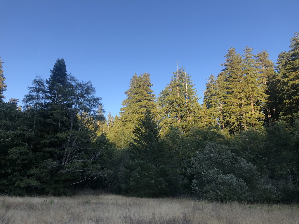 Baxter TrailHikingPhoto: Rainhead, CC BY-SA 2.0 (via Flickr)0.6 mi
 Thorton TrailHikingPhoto: Cal Fire Battalion Chief Kurt Dernedde, California Department of Forestry and Fire Protection, http://www.fire.ca.gov/, Public domain (via Wikimedia Commons)1 mi
 Humboldt Redwoods State ParkState parkPhoto: Jason Sturner, CC BY 2.0 (via Wikimedia Commons)5 mi
- Marin Garden Club Grove Group CampCamping5.3 mi
- Chris CreekCanoeing7.2 mi
- Williams Grove Group CampCamping8.5 mi
- East Branch North Fork Mattole RiverCanoeing9.8 mi
Source: Roamze catalog (indexable pages within 10 miles, PostGIS distance)
 Mattole CampgroundCamping · ~31 min drivePhoto: Tony Webster — CC BY-SA 2.0 (via Flickr)
- Whiskey Flat Trail CampCamping · ~3 min drive
- Hanson Ridge Trail CampCamping · ~4 min drive
- Johnson Trail CampCamping · ~4 min drive
- Grasshopper Trail CampCamping · ~6 min drive
- Bull Creek Trail CampCamping · ~7 min drive
- Free overnight Forrest parking, tents possibleCamping · ~10 min drive
- Ancient Redwoods RV ParkCamping · ~10 min drive
- Hike-Bike CampCamping · ~11 min drive
- Stafford RV ParkCamping · ~13 min drive
Best time to visit Baxter Environmental Camp
Best months: May–October. Best months have typical highs of 55–85 °F, lows of 30 °F or warmer (32 °F where the station doesn't record snow), at most one snowy day and no more than 12 wet days.
Jan
50° / 38°
16 wet
Feb
52° / 39°
15 wet
Mar
55° / 41°
15 wet
Apr
60° / 43°
13 wet
May
65° / 48°
9 wet
Jun
69° / 50°
5 wet
Jul
73° / 53°
2 wet
Aug
73° / 53°
2 wet
Sep
72° / 49°
3 wet
Oct
63° / 45°
6 wet
Nov
54° / 40°
13 wet
Dec
49° / 38°
15 wet
Typical high / low (°F) and days with rain or snow, 1991–2020. Measured at Grizzly Creek Sp, CA, 11.5 mi away at 413 ft. This station doesn't record snowfall. Source: NOAA NCEI U.S. Climate Normals 1991–2020.

Map and trail data © OpenStreetMap contributors
