Captain Jacks Bridge
- 4,384 ft
- elevation
- National Park Service
- managed by
- May–Jun, Sep–Oct
- best months
Caution at last check
Agency alerts are in effect for this area; weather is good · USFS, OpenWeather · checked 23 h ago
Is Captain Jacks Bridge open right now?
Alert in the area
The Forest Service lists an alert for Modoc National Forest.
Forest Fire Restrictions 2026 have been lifted as of 09/27/2026
Agency alert covering Modoc National Forest · USFS · Modoc National Forest
As of · Source: USFS · Modoc National Forest. Agencies don't list every closure — check before you go.
Captain Jacks Bridge is a natural arch in California's Lava Beds National Monument, within the Lava Beds Wilderness and the Doublehead Ranger District of Modoc National Forest. The National Park Service manages the land, and the nearest town is Newell, about 12 miles away. The arch sits at 4,384 feet. Summer is the most comfortable time to visit. Typical averages from a nearby weather station show July and August highs around 86°F with only two or three wet days a month, while winter brings highs in the low 40s and several snowy days each month from December through March. The arch makes an easy addition to a day of hiking in the area. The Three Sisters Trail Start is just 0.3 miles away, and the Lyons Trail Start and Symbol Bridge Trail Start are both within about 1.5 miles. The Schonchin Lookout Trail is roughly 1.7 miles off.
- Elevation
- 4,384 ft
- Land manager
- National Park Service
Elevation from USGS 3D Elevation Program terrain data (about 10 m resolution).
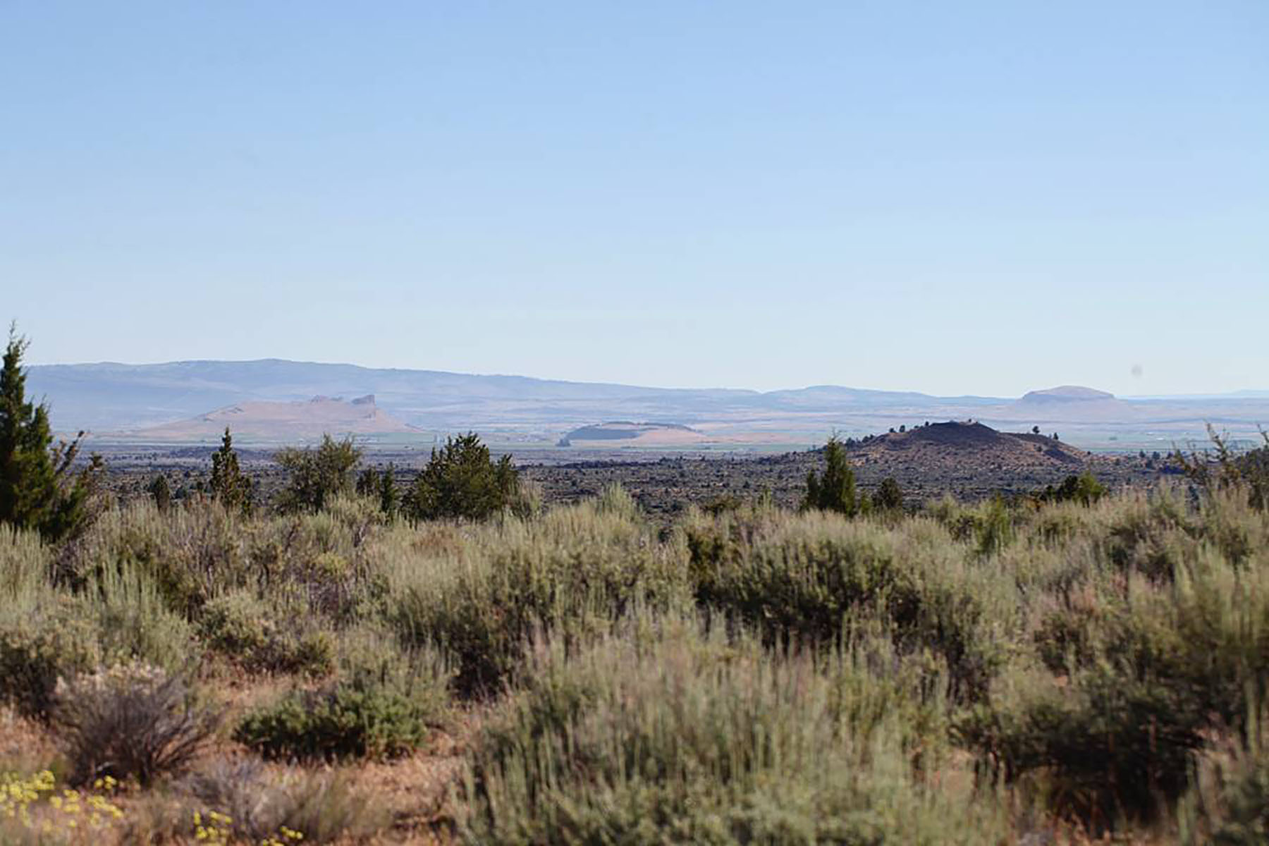 Three Sisters Trail Start, Tulelake, CaHiking0.3 mi
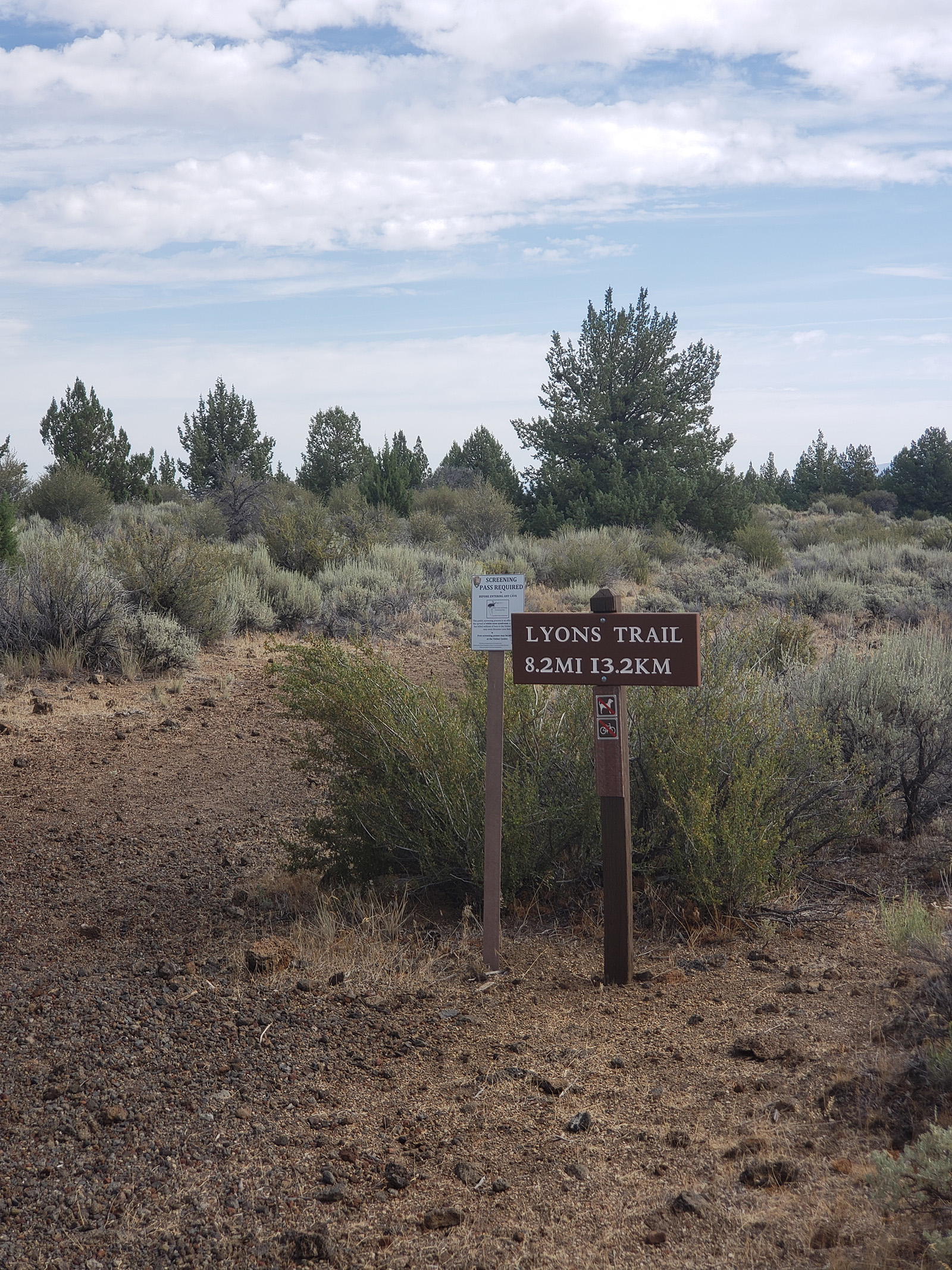 Lyons Trail Start, Tulelake, CaHiking1.4 mi
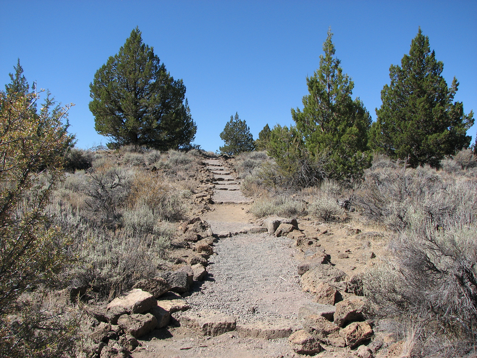 Symbol Bridge Trail Start, Tulelake, CaHiking1.5 mi
 Schonchin Lookout TrailHikingPhoto: Schonchin, CC BY-SA 3.0 (via Wikimedia Commons)1.7 mi
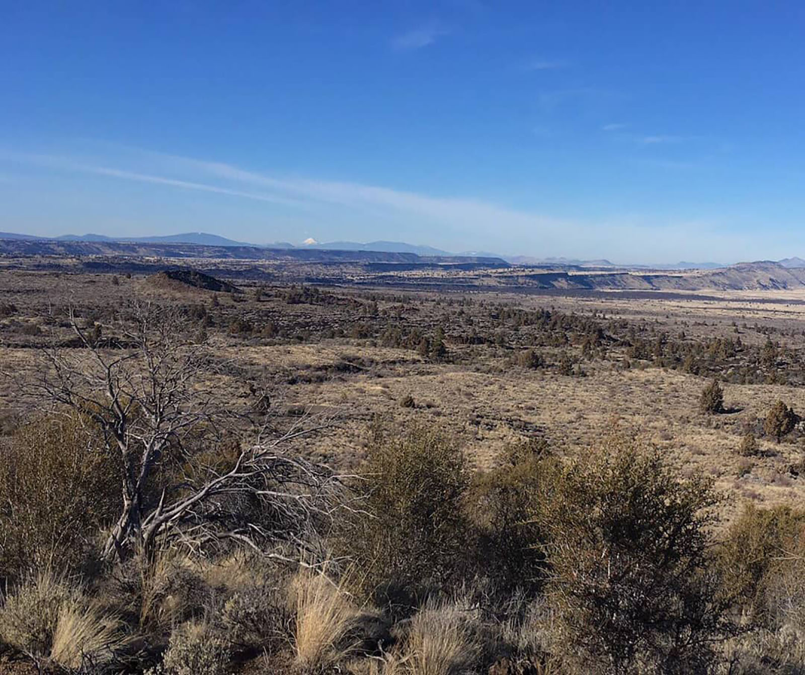 Schonchin Butte Trail Start, Tulelake, CaHikingPhoto: NPS photo by Ranger Aimee1.7 mi
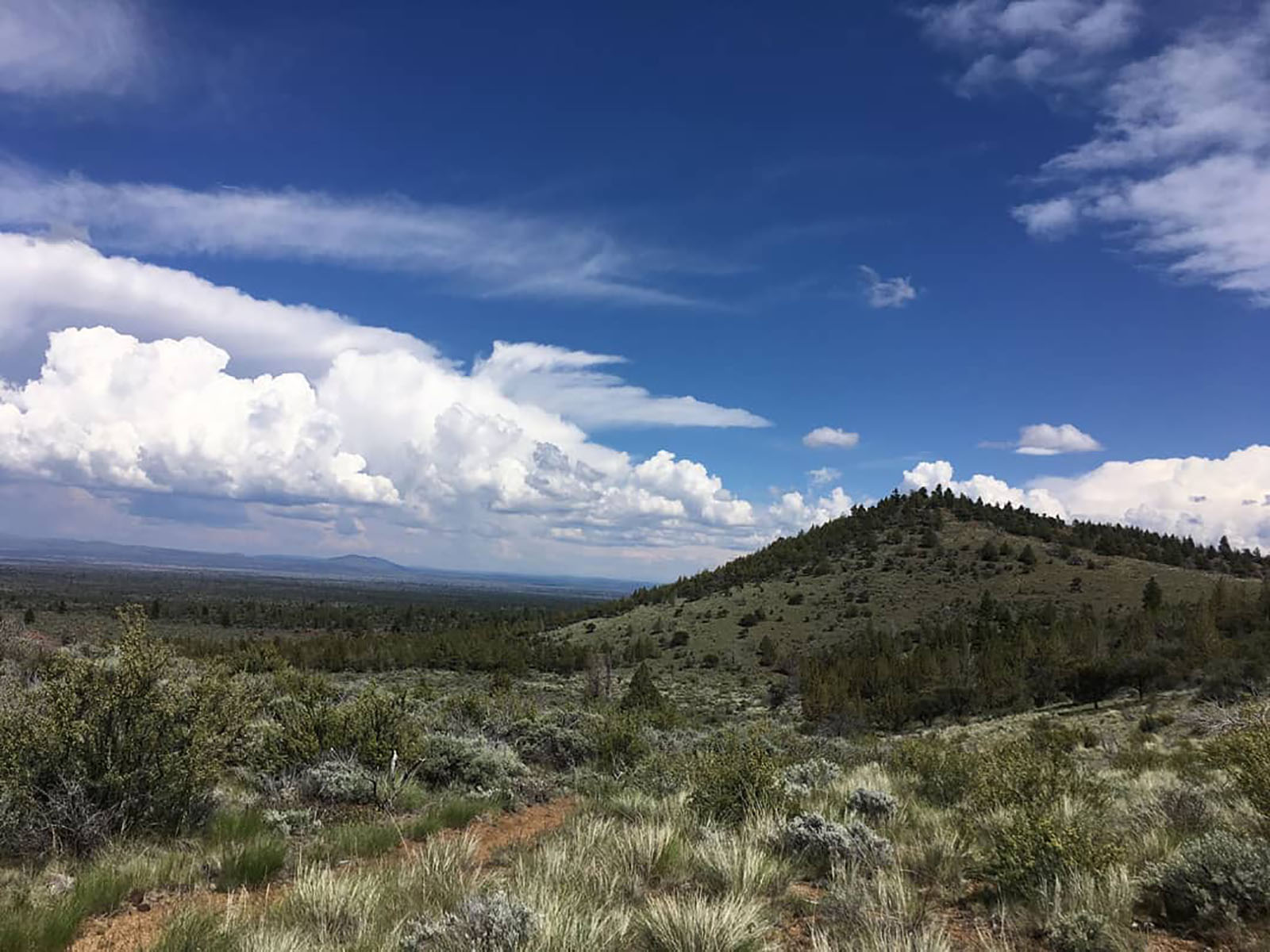 Bunchgrass Trail Start, Tulelake, CAHikingPhoto: NPS photo by Ranger Aimee2.1 mi
- Lyons TrailHiking2.1 mi
- Three Sisters TrailHiking2.1 mi
Source: Roamze catalog (indexable pages within 10 miles, PostGIS distance)
- Peninsula BridgeNatural arch · ~1 min drive
- Irish BridgeNatural arch · ~3 min drive
- Symbol BridgeNatural arch · ~3 min drive
- Balcony BridgeNatural arch · ~5 min drive
- Sentinel BridgeNatural arch · ~5 min drive
- Garden BridgesNatural arch · ~5 min drive
- Merrill Natural BridgeNatural arch · ~5 min drive
- Ovis BridgeNatural arch · ~6 min drive
- Natural BridgeNatural arch · ~6 min drive
- Dragons MouthNatural arch · ~7 min drive
Best time to visit Captain Jacks Bridge
Best months: May–June and September–October. Best months have typical highs of 55–85 °F, lows of 30 °F or warmer (32 °F where the station doesn't record snow), at most one snowy day and no more than 12 wet days.
Jan
43° / 23°
10 wet · 6 snow
Feb
46° / 25°
9 wet · 5 snow
Mar
52° / 28°
11 wet · 6 snow
Apr
57° / 31°
10 wet · 4 snow
May
66° / 38°
8 wet · 1 snow
Jun
76° / 44°
6 wet
Jul
86° / 52°
3 wet
Aug
86° / 51°
2 wet
Sep
78° / 45°
3 wet
Oct
66° / 36°
5 wet · 1 snow
Nov
50° / 27°
9 wet · 3 snow
Dec
41° / 22°
9 wet · 5 snow
Typical high / low (°F) and days with rain or snow, 1991–2020. Measured at Lava Beds Nat Mon, CA, 3.1 mi away at 4,770 ft. Source: NOAA NCEI U.S. Climate Normals 1991–2020.

