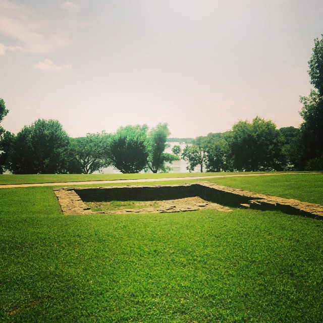
Vache Grasse Creek
- 3.9 mi
- distance
- 545 ft
- high point
- Feb–May, Oct–Nov
- best months
Vache Grasse Creek is a canoeing spot in Arkansas, about a mile from the town of Greenwood. It is a short outing from town, making it an easy addition to a day spent exploring the area. Spring and fall are the most comfortable times to paddle. Typical averages from a nearby weather station show April highs around 75°F and October highs around 76°F, while July and August average about 94°F. Prairie Creek, another canoeing route, lies about 8 miles away. Springhill campground, roughly 9 miles off, offers a place to stay overnight.
Local outfitters
- River View Cabins & Canoes50 mi away
Not on Roamze yet. Their page has how to reach them.
Source: Roamze catalog (indexable pages within 10 miles, PostGIS distance)
 Poteau RiverCanoeing · ~37 min drivePhoto: unknown NOAA employee, Public domain (via Wikimedia Commons)
- Little Pines Boating SiteBoat launch · ~41 min drive
 Ouachita RiverCanoeing · ~1h 11m drivePhoto: Robert Nunnally, CC BY 2.0 (via Wikimedia Commons)
- Campbell Cemetery Boating SiteBoat launch · ~58 min drive
 Fourche LaFave RiverCanoeing · ~57 min drivePhoto: Mason Brock (Masebrock), Public domain (via Wikimedia Commons)
- Lee Creek Upper Canoe AccessBoat launch · ~58 min drive
- Prairie CreekCanoeing · ~14 min drive
- Lee Creek Lower Canoe AccessBoat launch · ~58 min drive
- James ForkCanoeing · ~27 min drive
- Turner Bend LandingBoat launch · ~1h 7m drive
Also worth it near here
Best time to visit Vache Grasse Creek
Best months: February–May and October–November. Best months have typical highs of 55–85 °F, lows of 30 °F or warmer (32 °F where the station doesn't record snow), at most one snowy day and no more than 12 wet days.
Jan
51° / 30°
8 wet · 1 snow
Feb
57° / 33°
8 wet · 1 snow
Mar
66° / 42°
10 wet
Apr
75° / 50°
10 wet
May
81° / 60°
11 wet
Jun
89° / 68°
9 wet
Jul
94° / 72°
7 wet
Aug
94° / 71°
7 wet
Sep
87° / 63°
7 wet
Oct
76° / 51°
8 wet
Nov
63° / 40°
8 wet
Dec
53° / 32°
8 wet
Typical high / low (°F) and days with rain or snow, 1991–2020. Measured at Ft Smith Rgnl Ap, AR, 10.5 mi away at 449 ft. Source: NOAA NCEI U.S. Climate Normals 1991–2020.