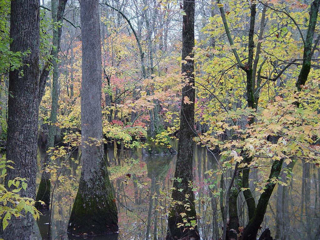
George Tract River Trail
- 1.3 mi
- round trip
- 165 ft
- climb
- 192 ft
- high point
- Out and back
- route
- Mar–May, Sep–Nov
- best months
George Tract River Trail is a 1.30-mile out-and-back trail in Arkansas with 111 feet of elevation gain and 165 feet of elevation loss. The trail follows the river and returns via the same path it went out on.
 Upland Nature TrailHiking · ~1h 5m drivePhoto: USFWS/Southeast, CC BY 2.0 (via Flickr)
- Stinking Bay Island Walking TrailHiking · ~56 min drive
- Center Ridge TrailHiking · ~1h 13m drive
- Bottomland Hardwood TrailHiking · ~1h 6m drivePhoto: USFWS/Southeast, CC BY 2.0 (via Flickr)
- South Ridge TrailHiking · ~1h 10m drive
- George Tract Birding TrailHiking · ~2 min drive
- Deer Run TrailHiking · ~1h 10m drive
- Potters Landing TrailHiking · ~11 min drive
- Bicycle Entrance TrailHiking · ~1h 11m drive
- Straight Lake North TrailHiking · ~12 min drive
Best time to visit George Tract River Trail
Best months: March–May and September–November. Best months have typical highs of 55–85 °F, lows of 30 °F or warmer (32 °F where the station doesn't record snow), at most one snowy day and no more than 12 wet days.
Jan
48° / 31°
8 wet
Feb
53° / 34°
7 wet · 1 snow
Mar
61° / 41°
8 wet
Apr
71° / 51°
8 wet
May
80° / 60°
9 wet
Jun
87° / 69°
6 wet
Jul
90° / 72°
6 wet
Aug
90° / 70°
5 wet
Sep
84° / 63°
5 wet
Oct
74° / 51°
6 wet
Nov
61° / 40°
8 wet
Dec
51° / 33°
8 wet
Typical high / low (°F) and days with rain or snow, 1991–2020. Measured at Brinkley, AR, 8.7 mi away at 185 ft. Source: NOAA NCEI U.S. Climate Normals 1991–2020.