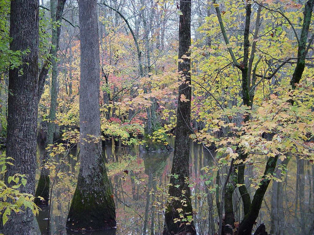
Potters Landing Trail
- 2.1 mi
- round trip
- 144 ft
- climb
- 170 ft
- high point
- Out and back
- route
- Mar–May, Sep–Nov
- best months
Potters Landing Trail is a 2.07-mile out-and-back route in Arkansas managed by the U.S. Fish and Wildlife Service. The trail gains 90 feet of elevation and loses 144 feet over its round-trip distance.
 Upland Nature TrailHiking · ~55 min drivePhoto: USFWS/Southeast, CC BY 2.0 (via Flickr)
- Stinking Bay Island Walking TrailHiking · ~45 min drive
- Center Ridge TrailHiking · ~1h 18m drive
- Bottomland Hardwood TrailHiking · ~55 min drivePhoto: USFWS/Southeast, CC BY 2.0 (via Flickr)
- Deer Run TrailHiking · ~1h 15m drive
- Straight Lake North TrailHiking · ~2 min drive
- South Ridge TrailHiking · ~1h 15m drive
- Little Hill TrailHiking · ~3 min drive
- Bicycle Entrance TrailHiking · ~1h 16m drive
- George Tract Birding TrailHiking · ~10 min drive
Best time to visit Potters Landing Trail
Best months: March–May and September–November. Best months have typical highs of 55–85 °F, lows of 30 °F or warmer (32 °F where the station doesn't record snow), at most one snowy day and no more than 12 wet days.
Jan
48° / 33°
7 wet
Feb
53° / 35°
8 wet
Mar
61° / 43°
8 wet
Apr
71° / 52°
8 wet
May
80° / 62°
8 wet
Jun
87° / 70°
6 wet
Jul
90° / 73°
6 wet
Aug
89° / 71°
5 wet
Sep
84° / 62°
5 wet
Oct
73° / 52°
6 wet
Nov
60° / 41°
7 wet
Dec
51° / 35°
8 wet
Typical high / low (°F) and days with rain or snow, 1991–2020. Measured at Clarendon, AR, 7.1 mi away at 179 ft. This station doesn't record snowfall. Source: NOAA NCEI U.S. Climate Normals 1991–2020.