Big Creek Loop
- 0.7 mi
- loop
- 140 ft
- climb
- 498 ft
- high point
- Loop
- route
- Mar–May, Sep–Nov
- best months
Big Creek Loop is a short, easy loop hike in Arkansas, about 0.7 miles long and roughly 140 feet of elevation gain. It sits in a cluster of trails near McJester, about 2 miles away, and is a quick outing for anyone already exploring the area. The loop is back-loaded, with the steepest stretch at about 0.5 miles in, where the grade reaches 15%. The high point is 498 feet, and the route ends at a low of 355 feet. The trail is not open to bikes or horses. Spring and fall are the most comfortable times to go. Typical averages from the nearby Greers Ferry Dam weather station show October highs around 73°F and April highs around 72°F, while July and August average about 91°F. Overlook Trail starts just 0.1 mile away. Summit Trail and Tonawanda Base Trail are both about 8 miles off, and the Little Red River offers fishing roughly 9 miles away.
Best time to go · Mar–May, Sep–Nov
Best time to visit Big Creek Loop
Best months: March–May and September–November. Best months have typical highs of 55–85 °F, lows of 30 °F or warmer (32 °F where the station doesn't record snow), at most one snowy day and no more than 12 wet days.
Jan
48° / 28°
8 wet
Feb
54° / 31°
8 wet
Mar
62° / 38°
9 wet
Apr
72° / 47°
9 wet
May
79° / 57°
10 wet
Jun
87° / 66°
8 wet
Jul
91° / 69°
8 wet
Aug
91° / 68°
8 wet
Sep
84° / 61°
7 wet
Oct
73° / 49°
8 wet
Nov
61° / 39°
8 wet
Dec
51° / 31°
9 wet
Typical high / low (°F) and days with rain or snow, 1991–2020. Measured at Greers Ferry Dam, AR, 9.2 mi away at 527 ft. Source: NOAA NCEI U.S. Climate Normals 1991–2020.
Keep exploring — more trails worth the drive
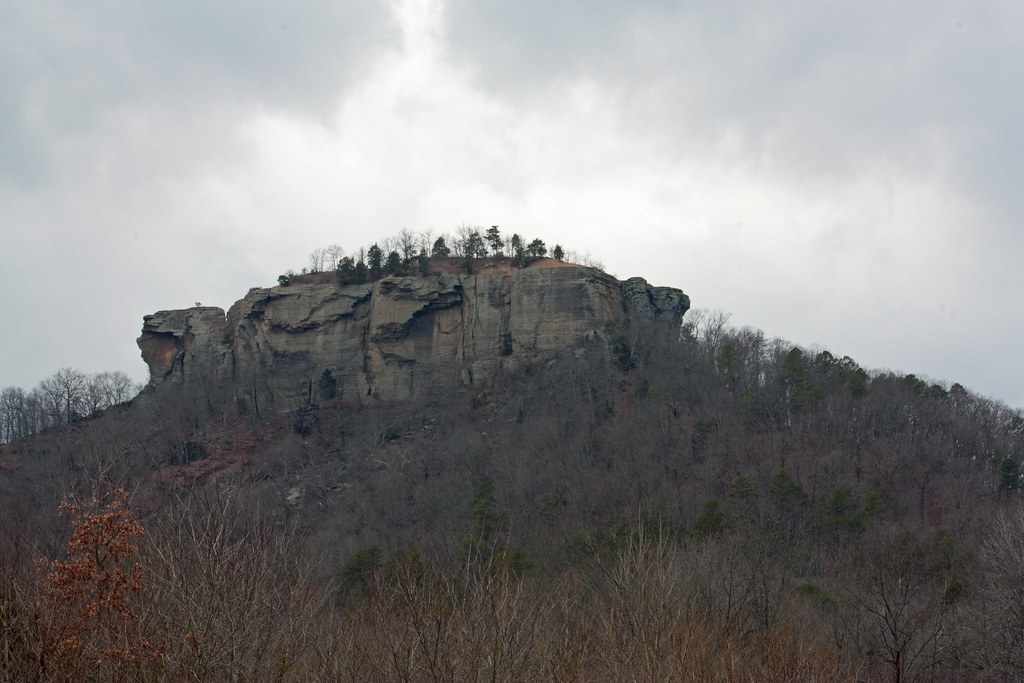 Photo: kdwood2, CC BY-SA 2.0 (via Flickr)
Tonawanda Base Trail
~14 min drive
1.20-mile loop trail in Arkansas with 530 ft gain and 647 ft loss.
HIKE
North Sylamore Creek Trail
~59 min drive
46.49-mile out-and-back hike in Arkansas with 3,322 ft elevation gain.
HIKE
SYLLAMO BIKE TRAIL-BALD SCRAPP
~1h 1m drive
7.30-mile loop with 1,346 ft elevation gain/loss in Arkansas
 Photo: kdwood2, CC BY-SA 2.0 (via Flickr)
Summit Trail
~14 min drive
Summit Trail is a 0.40-mile point-to-point trail in Arkansas with 199 feet of elevation gain.
HIKE
Syllamo Bike Trail-White River
~1h 1m drive
7.92-mile out-and-back bike trail on the White River in Arkansas.
HIKE
Syllamo Bike Trail - Jacks Bra
~1h 5m drive
2.33-mile out-and-back bike trail in Arkansas with 626 ft gain.
Photo: kdwood2, CC BY-SA 2.0 (via Flickr)Wildlife Trail
~15 min drive
0.76-mile point-to-point trail in Arkansas with 64 ft gain.
HIKE
Syllamo Bike Trail-Jacks Branc
~1h 4m drive
12.93-mile loop with 2,087 ft elevation gain in Arkansas.
HIKE
Overlook Trail
Next door
1.66-mile loop in Arkansas with 297 ft of elevation gain
HIKE
SYLLAMO BIKE TRAIL-SCRAPPY MT
~1h 4m drive
11.72-mile loop with 2,021 ft elevation gain/loss in Arkansas
Map and trail data © OpenStreetMap contributors
