Prairie Creek
- Mar–Jun, Sep–Nov
- best months
Clear today
Weather is good · OpenWeather · checked 9 h ago
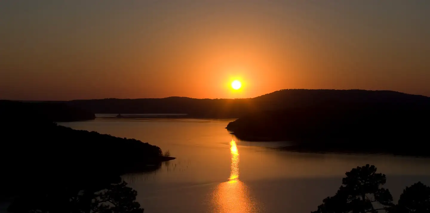
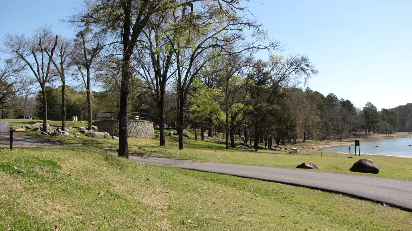
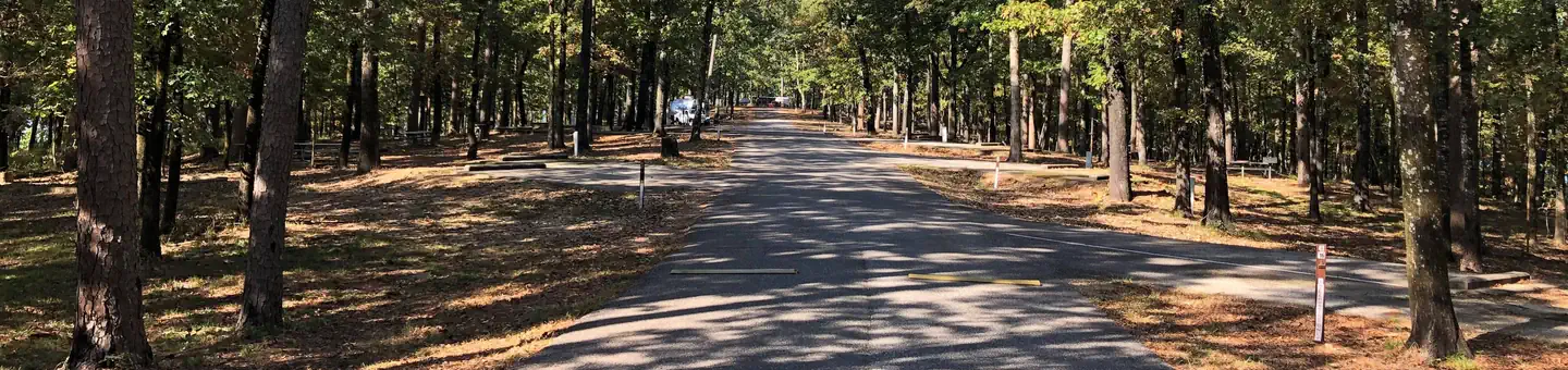
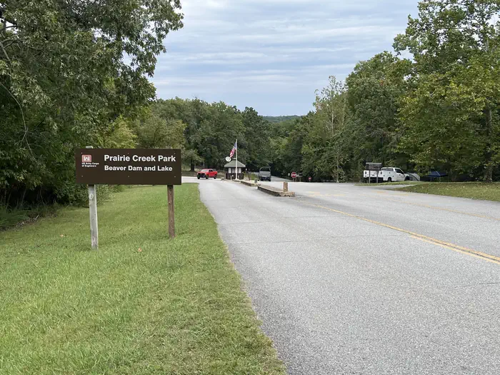
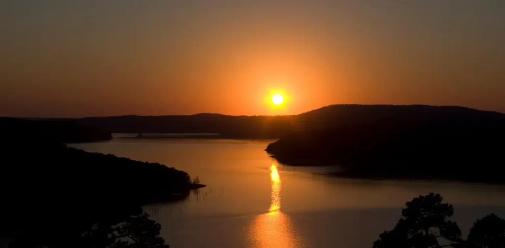
Overview Prairie Creek Campground sits along the vast shores of Beaver Lake in the Ozark Mountains of Northwest Arkansas, offering spacious and sunny campsites and an abundance of recreational activities. Recreation Fishing opportunities are plentiful near Prairie Creek Campground. Beaver Lake has more than 28,000 surface acres of water, and anglers can try their luck at catching large and small-mouth bass, crappie, bream, white bass, stripers, and channel or spoon-bill catfish. Just below the dam, the cold waters of the upper White River provide a perfect habitat for pole-bending rainbow and record-size German brown trout. Several trails snake throughout the Ozark Mountains, offering peaceful hiking, biking and wildlife viewing opportunities for visitors. Hunters will find game plentiful in northwest Arkansas. A mixture of hardwood and evergreen forest provides a good home to many different species of wildlife. While Beaver Lake is conveniently located near several population centers, within a short driving distance hunters can find remote areas filled with upland game animals such as deer, rabbits and squirrels. Many other sports and activities await campers, including boating, swimming, picnicking, scuba diving, water skiing, spelunking and sightseeing.Facilities Prairie Creek Campground has large campsites with plenty of shade and room for activities, and is steps away from the lake shore. Fire rings, picnic areas, drinking water and flush toilets all make for a comfortable camping getaway. A sand volleyball court, five-lane boat ramp and playground make the area perfect for families and other large groups.Natural Features Towering limestone bluffs, natural caves and a variety of trees and flowering shrubs surround Prairie Creek Campground, making it an ideal retreat for outdoor enthusiasts. Beaver Lake and Dam, completed in 1966, was constructed in the White River Basin and boasts 449 miles of beautiful shoreline at the top of the conservation pool. Although the dam was originally built for flood control, hydroelectric power and public water supply, it has also created a popular recreational oasis. Nearby Attractions Several marinas are located around the lake, offering groceries, fuel, boat rentals and storage, fishing guides and camping supplies. Click here for more information.
Local outfitters
- Float Eureka17 mi away
- Kings River Outfitters22 mi away
Not on Roamze yet. Their page has how to reach them.
 Prairie Creek (ar)CampingPhoto: Recreation.gov (RIDB) / public domain0.1 mi
 Horseshoe BendCampingPhoto: Recreation.gov (RIDB) / public domain5 mi
 Rocky Branch CampgroundCampingPhoto: Recreation.gov (RIDB) / public domain6.7 mi
- Hamilton Park TrailHiking7.3 mi
- Hidden Diversity Multi-Use TrailHiking7.3 mi
- Little Sugar CreekCanoeing7.5 mi
 Pigeon Roost TrailHikingPhoto: Doug Wertman from Rogers, AR, USA, CC BY 2.0 (via Wikimedia Commons)7.5 mi
- Ready or NotHiking7.6 mi
Source: Roamze catalog (indexable pages within 10 miles, PostGIS distance)
- ViolaRiver fishing · ~50 min drive
- Eagle RockLake fishing · ~37 min drive
- White RiverRiver fishing · ~21 min drive
- Buffalo RiverRiver fishing · ~1h 18m drive
- Shell Knob Rec Site PavilionRiver fishing · ~53 min drive
- Cape FairLake fishing · ~1h 6m drive
- Roaring RiverRiver fishing · ~35 min drive
- BaxterRiver fishing · ~58 min drive
- Indian PointLake fishing · ~1h 15m drive
- Table Rock LakeLake fishing · ~1h 9m drive
Best time to visit Prairie Creek
Best months: March–June and September–November. Best months have typical highs of 55–85 °F, lows of 30 °F or warmer (32 °F where the station doesn't record snow), at most one snowy day and no more than 12 wet days.
Jan
46° / 24°
6 wet · 1 snow
Feb
51° / 27°
6 wet · 1 snow
Mar
60° / 36°
8 wet
Apr
69° / 44°
9 wet
May
77° / 54°
10 wet
Jun
85° / 63°
9 wet
Jul
89° / 66°
7 wet
Aug
90° / 65°
6 wet
Sep
82° / 57°
6 wet
Oct
71° / 46°
7 wet
Nov
59° / 36°
7 wet
Dec
49° / 27°
6 wet · 1 snow
Typical high / low (°F) and days with rain or snow, 1991–2020. Measured at Bentonville 4 S, AR, 9.4 mi away at 1,220 ft. Source: NOAA NCEI U.S. Climate Normals 1991–2020.