Mountain · 1 route
Clark Peak
9,007 ft · Arizona
- Summit
- 9,007 ft
- Routes
- 1 way up
Route up Clark Peak
About Clark Peak
Clark Peak is a summit of 9,007 feet in the Safford Ranger District of Coronado National Forest in southeastern Arizona, about 14 miles from the town of Thatcher. The peak sits among a cluster of trails. Carter Nuttall lies just 0.3 miles away, and Nuttall Trail #303 is under a mile off. Hell's Hole Trail #319 and the Lakeshore hike are both within about 2 miles. Riggs Flat Campground is about 1.6 miles away, and Soldier Creek campground is about 4 miles off.
Forecast on Clark Peak
Daily highs and lows, wind and the chance of precipitation at the summit and route start for the next 7 days, from the Open-Meteo model.
Questions about Clark Peak
How tall is Clark Peak?
9,007 ft (2,745 m).
How many routes go to the summit of Clark Peak?
One: Clark Peak Trail #301.
Mountains nearby
Facts about this place
Where it is
- Safford Ranger District · Ranger district
- Coronado National Forest · National forest
- Nearest town
- Thatcher, Arizona · 14 mi
Conditions
Active alerts for Coronado National Forest as of Oct 9, 2026:
Border Barrier Construction Closure
caution · posted Oct 2, 2026
Olson Cabin Closure 03-05-05-22-030
information · posted Aug 24, 2026
SVRD Rec Shooting Closure Order 03-05-03-23-010
information · posted Aug 24, 2026
Barfoot Snake Closure Order 03-05-01-24-004
caution · posted Aug 24, 2026
14 Day Camping Closure 03-05-00-24-005
information · posted Aug 24, 2026
information · posted Aug 24, 2026
fire-restriction · posted Aug 24, 2026
Target Shooting Refuse Restriction
information · posted Aug 24, 2026
Source: USFS forest alerts
Nearby
 Carter NuttallHikingPhoto: em_burk, CC BY-SA 2.0 (via Flickr)0.3 mi
- Nuttall Trail #303HikingPhoto: em_burk, CC BY-SA 2.0 (via Flickr)0.8 mi
- Hell's Hole Trail #319Hiking1.1 mi
- LakeshoreHiking1.6 mi
- Riggs Flat CampgroundCamping1.6 mi
- Soldier CreekCamping4.1 mi
- CunninghamCamping6.2 mi
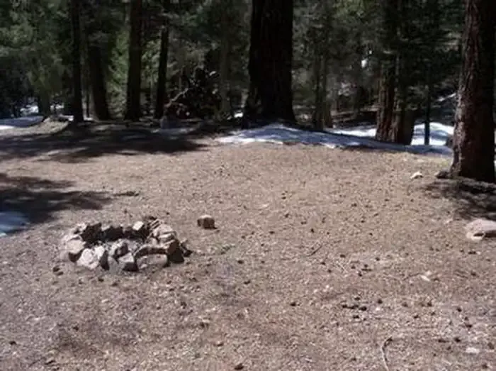 Upper Hospital Flat Group SiteCampingPhoto: Recreation.gov (RIDB) / public domain7.5 mi
Source: Roamze catalog (indexable pages within 10 miles, PostGIS distance)
Is Clark Peak open right now?
Alert in the area
The Forest Service lists 3 alerts for Coronado National Forest.
Border Barrier Construction Closure
Agency alert covering Coronado National Forest · Order 03-05-00-26-011 · USFS · Coronado National Forest
No Fire Restrictions
Agency alert covering Coronado National Forest · USFS · Coronado National Forest
Barfoot Snake Closure Order 03-05-01-24-004
Agency alert covering Coronado National Forest · USFS · Coronado National Forest
As of · Source: USFS · Coronado National Forest. Agencies don't list every closure — check before you go.
