Frye Canyon
- 8.8 mi
- round trip
- 6,126 ft
- climb
- 7,064 ft
- high point
- Out and back
- route
Is Frye Canyon open right now?
Alert in the area
The Forest Service lists 3 alerts for Coronado National Forest.
Border Barrier Construction Closure
Agency alert covering Coronado National Forest · Order 03-05-00-26-011 · USFS · Coronado National Forest
No Fire Restrictions
Agency alert covering Coronado National Forest · USFS · Coronado National Forest
Barfoot Snake Closure Order 03-05-01-24-004
Agency alert covering Coronado National Forest · USFS · Coronado National Forest
As of · Source: USFS · Coronado National Forest. Agencies don't list every closure — check before you go.
Frye Canyon is a hard hike in the Safford Ranger District of Coronado National Forest in Arizona, managed by the Forest Service. The route is an out-and-back that climbs from about 4,300 feet to roughly 7,060 feet, with a total elevation gain of about 6,126 feet over the course of the trip. The steepest stretch comes at about 4.2 miles in, where the grade reaches 32 percent. The trail is natural-surface and allows bikes, and it is not an accessible route. It is open year-round, and the trip is estimated to take about six hours. Several mountain biking routes sit close by, including Ash Ridge at 0.7 miles and Deadman Highline at 1.6 miles. The Round the Mountain Trail #302 hike is about 1.9 miles away, and Cunningham campground is about 3.5 miles off.
 Ash RidgeMountain bikingPhoto: Outdoor Craziness, CC BY-SA 3.0 (via Wikimedia Commons)0.7 mi
- Deadman HighlineMountain bikingPhoto: Outdoor Craziness, CC BY-SA 3.0 (via Wikimedia Commons)1.6 mi
- Round the MountainMountain biking1.9 mi
 Round the Mountain Trail #302HikingPhoto: em_burk, CC BY-SA 2.0 (via Flickr)1.9 mi
- CunninghamCamping3.5 mi
- Soldier CreekCamping3.9 mi
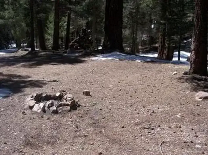 Upper Hospital Flat Group SiteCampingPhoto: Recreation.gov (RIDB) / public domain3.9 mi
- Hospital FlatCamping4 mi
Source: Roamze catalog (indexable pages within 10 miles, PostGIS distance)
- Round the Mountain Trail #302Hiking · ~3 min drivePhoto: em_burk, CC BY-SA 2.0 (via Flickr)
 Ash Creek DetourHiking · ~4 min drivePhoto: em_burk, CC BY-SA 2.0 (via Flickr)
 Blair CanyonHiking · ~8 min drivePhoto: squeaks2569, CC BY-SA 2.0 (via Flickr)
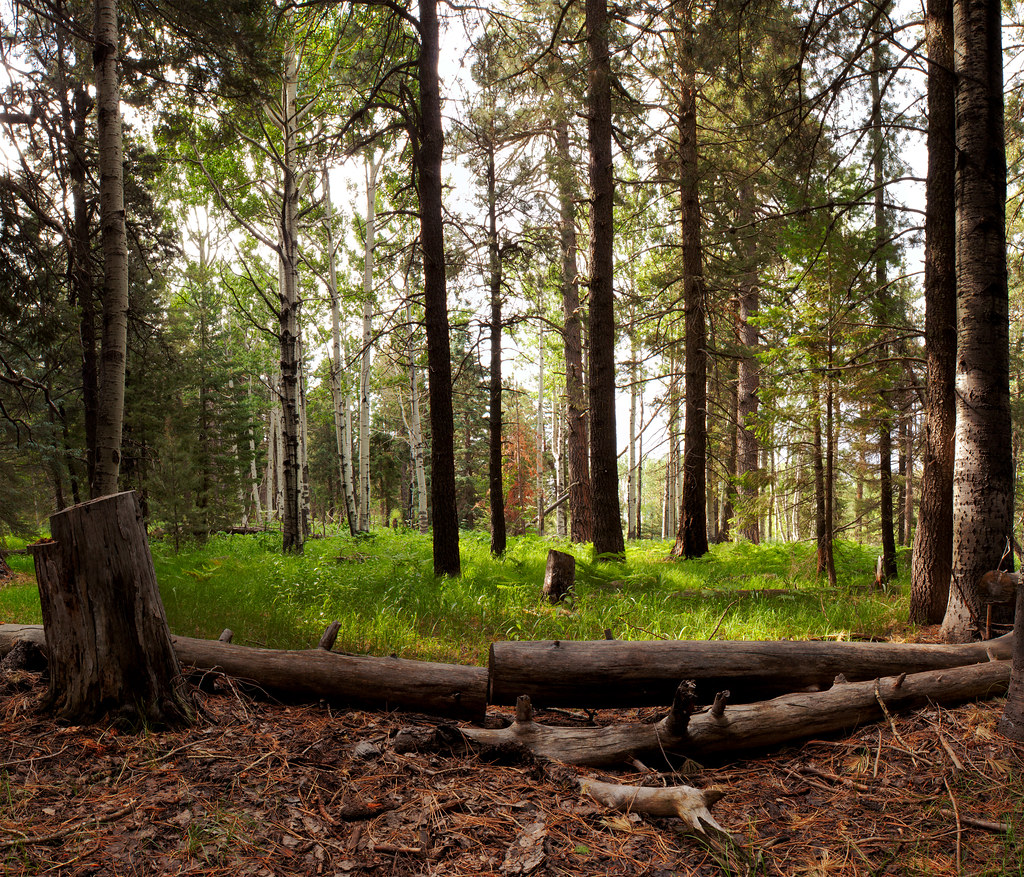 Jesus Goudy Ridge Trail #298Hiking · ~9 min drivePhoto: squeaks2569, CC BY-SA 2.0 (via Flickr)
- Ash RidgeHiking · ~1 min drive
 Heliograph Trail #328AHiking · ~8 min drivePhoto: squeaks2569, CC BY-SA 2.0 (via Flickr)
 Shake Trail #309Hiking · ~12 min drivePhoto: squeaks2569, CC BY-SA 2.0 (via Flickr)
- Shingle Mill Trail #35Hiking · ~8 min drive
- Deadman HighlineHiking · ~3 min drive
- Turkey FlatHiking · ~11 min drivePhoto: squeaks2569, CC BY-SA 2.0 (via Flickr)

Route details
- Distance
- 8.8 mi round trip
- Climbing
- About 6,126 ft
- Summit
- 5,002 ft
- Difficulty
- Hard
- Time
- About 3.5 hours
Season
Season: Year-round.
Questions about this route
How long is the Frye Canyon on Frye Mesa?
About 8.8 mi round trip.
How much elevation gain is on the Frye Canyon?
About 6,126 ft of climbing round trip.
How hard is the Frye Canyon?
It is rated hard.
How long does the Frye Canyon take?
About 3.5 hours round trip.
When is the best time for the Frye Canyon?
Year-round.
Conditions and forecast on Frye Mesa
Daily highs and lows, wind and the chance of precipitation at the summit and route start for the next 7 days, from the Open-Meteo model.
