Blue Ridge Mountain
- 7,659 ft
- summit
- 1
- way up
- Apr–Jun, Sep–Oct
- best months
Is Blue Ridge Mountain open right now?
Closure in the area
There's a closure order in Apache-Sitgreaves National Forests. It doesn't name Blue Ridge Mountain, so check the source for the area it covers (3 listed).
Temporary Emergency Closure
Agency closure covering Apache-Sitgreaves National Forests · Order 03-01-26-004 · USFS · Apache-Sitgreaves National Forests
Scott Reservoir Recreation Site Closure - Lakeside RD
Agency closure covering Lakeside Ranger District · Order 03-01-07-26-001 · USFS · Lakeside Ranger District
Benny Creek Campground/Southfork Day Use Area Closure Order - Springerville Ranger District
Agency closure covering Apache-Sitgreaves National Forests · Order 03-01-25-06-004 · USFS · Apache-Sitgreaves National Forests
Forest Road Conditions Alert
Agency alert covering Apache-Sitgreaves National Forests · USFS · Apache-Sitgreaves National Forests
No Fire Restrictions
Agency alert covering Apache-Sitgreaves National Forests · USFS · Apache-Sitgreaves National Forests
As of · Source: USFS · Apache-Sitgreaves National Forests. Agencies don't list every closure — check before you go.
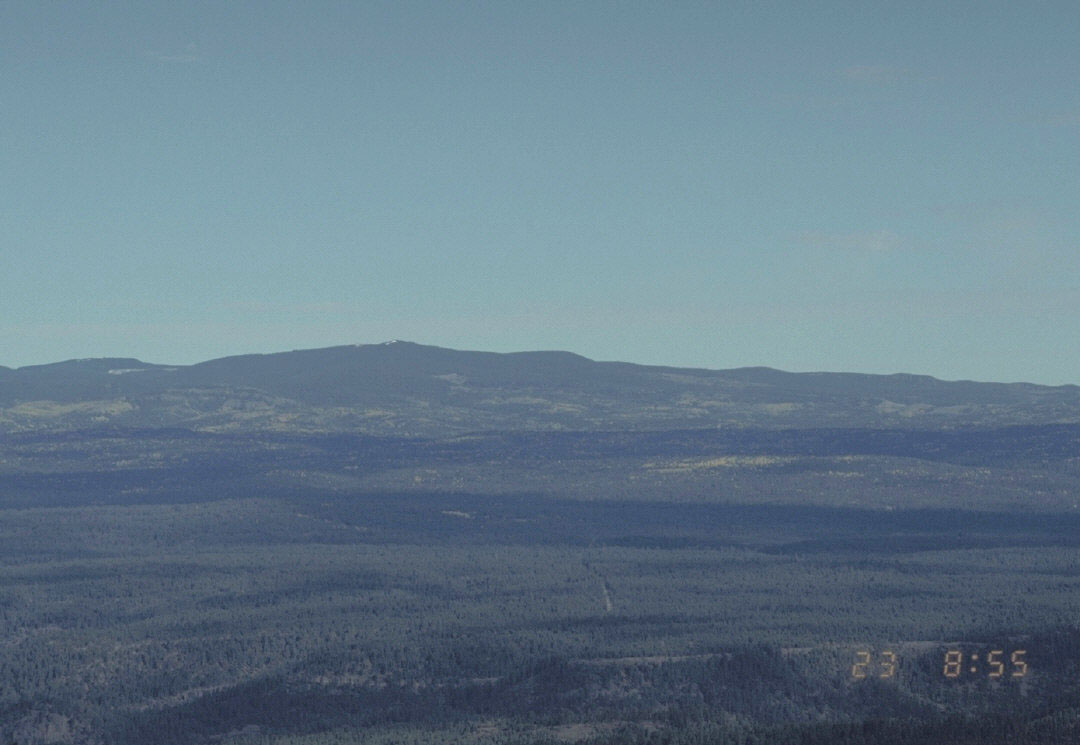
Blue Ridge Mountain is a summit of 7,659 feet in the Lakeside Ranger District of the Apache-Sitgreaves National Forests in eastern Arizona, about 3 miles from Pinetop Country Club. The most comfortable months for a visit are typically May and September. Typical averages from a nearby weather station at Pinetop, which sits a few hundred feet lower, show May highs around 71°F and September highs around 76°F, with July and August bringing the most wet days of the year. The Blue Ridge Trail, a mountain biking route, starts just 0.2 miles away, and the Lumberjack and Blue Ridge National Recreation trails are within a mile. For an overnight stay, Scott Reservoir campground is about 3 miles off.
Conditions and forecast
Daily highs and lows, wind and the chance of precipitation at the summit and route start for the next 7 days, from the Open-Meteo model.
- Summit elevation
- 7,659 ft
Elevation from USGS 3D Elevation Program terrain data (about 10 m resolution).
Map © Mapbox © OpenStreetMap contributors Questions about Blue Ridge Mountain
How tall is Blue Ridge Mountain?
7,659 ft (2,334 m).
How many routes go to the summit of Blue Ridge Mountain?
One: Blue Ridge Trail.
Where do the routes up Blue Ridge Mountain start?
Blue Ridge Trail starts at BLUE RIDGE #2 (about 7,192 ft).
- Blue Ridge TrailMountain biking0.2 mi
- LumberjackMountain biking0.6 mi
- Blue Ridge National RecreationMountain biking0.8 mi
- Country Club Trail #632Mountain biking1.5 mi
- Country Club TrailHiking1.5 mi
- PAT MULLEN MOUNTAIN CONNECTORHiking1.7 mi
- Scott ReservoirCamping3 mi
- Los BurrosCamping8 mi
Source: Roamze catalog (indexable pages within 10 miles, PostGIS distance)
 Escudilla MountainSummit · ~1h 21m drivePhoto: Chris M Morris, CC BY 2.0 (via Wikimedia Commons)
 Mount BaldySummit · ~45 min drivePhoto: U.S. Forest Service, Public domain (via Wikimedia Commons)
- Pat Mullen MountainSummit · ~3 min drive
- Scrub PointSummit · ~43 min drive
- Bald PointSummit · ~43 min drive
- Big Lake KnollSummit · ~1h 2m drive
- Gobbler PointSummit · ~1h 16m drive
- Lake MountainSummit · ~14 min drive
Also worth it near here
Best time to visit Blue Ridge Mountain
Best months: April–June and September–October. Best months have typical highs of 55–85 °F, lows of 30 °F or warmer (32 °F where the station doesn't record snow), at most one snowy day and no more than 12 wet days.
Jan
45° / 20°
7 wet
Feb
48° / 22°
7 wet
Mar
55° / 26°
7 wet
Apr
62° / 32°
5 wet
May
71° / 38°
4 wet
Jun
82° / 46°
5 wet
Jul
82° / 52°
13 wet
Aug
80° / 51°
16 wet
Sep
76° / 46°
9 wet
Oct
66° / 34°
6 wet
Nov
55° / 27°
5 wet
Dec
45° / 19°
7 wet
Typical high / low (°F) and days with rain or snow, 1991–2020. Measured at Pinetop 2e, AZ, 2.1 mi away at 7,200 ft. This station doesn't record snowfall. Source: NOAA NCEI U.S. Climate Normals 1991–2020.


