Shingle Mill Loop
- 2.4 mi
- distance
- 1,635 ft
- climb
Is Shingle Mill Loop open right now?
Alert in the area
The Forest Service lists 3 alerts for Coronado National Forest.
Border Barrier Construction Closure
Agency alert covering Coronado National Forest · Order 03-05-00-26-011 · USFS · Coronado National Forest
No Fire Restrictions
Agency alert covering Coronado National Forest · USFS · Coronado National Forest
Barfoot Snake Closure Order 03-05-01-24-004
Agency alert covering Coronado National Forest · USFS · Coronado National Forest
As of · Source: USFS · Coronado National Forest. Agencies don't list every closure — check before you go.
Shingle Mill Loop is a mountain biking route in Arizona's Coronado National Forest, within the Safford Ranger District. The Forest Service manages the land, and the loop covers about 2.4 miles with a total elevation gain of 1,635 feet, rising from roughly 5,205 feet to about 6,159 feet. The climb is steep at the start, with the steepest section at about 0.48 miles in, where the grade reaches nearly 60 percent. The route also includes a total descent of about 1,041 feet, so it works as a loop rather than an out-and-back. Shingle Mill Trail #35 lies about 0.9 miles away for hikers, and the Shingle Mill and Ash Creek mountain biking areas are within a few miles. For an overnight stay, Soldier Creek Campground is about 4.7 miles away.
- Shingle Mill Trail #35Hiking0.9 mi
- Shingle MillMountain biking1.2 mi
- Ash CreekMountain biking2.4 mi
- Ash Creek Trail #307Hiking2.4 mi
- Soldier CreekCamping4.7 mi
- Riggs Flat CampgroundCamping5 mi
- CunninghamCamping6.1 mi
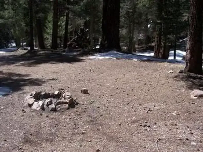 Upper Hospital Flat Group SiteCampingPhoto: Recreation.gov (RIDB) / public domain7.2 mi
Source: Roamze catalog (indexable pages within 10 miles, PostGIS distance)
 Ash RidgeMountain biking · ~6 min drivePhoto: Outdoor Craziness, CC BY-SA 3.0 (via Wikimedia Commons)
- Deadman HighlineMountain biking · ~7 min drivePhoto: Outdoor Craziness, CC BY-SA 3.0 (via Wikimedia Commons)
- Frye CanyonMountain biking · ~8 min drivePhoto: Outdoor Craziness, CC BY-SA 3.0 (via Wikimedia Commons)
- Cunningham LoopMountain biking · ~10 min drivePhoto: Outdoor Craziness, CC BY-SA 3.0 (via Wikimedia Commons)
- Grant CreekMountain biking · ~11 min drivePhoto: Outdoor Craziness, CC BY-SA 3.0 (via Wikimedia Commons)
 Big CreekMountain biking · ~11 min drivePhoto: Kjunewright, CC BY-SA 4.0 (via Wikimedia Commons)
- Grant Hill Loop CMountain biking · ~11 min drivePhoto: Outdoor Craziness, CC BY-SA 3.0 (via Wikimedia Commons)
- Grant Hill Loop AMountain biking · ~12 min drivePhoto: Kjunewright, CC BY-SA 4.0 (via Wikimedia Commons)
- Grant Hill LoopMountain biking · ~12 min drivePhoto: Kjunewright, CC BY-SA 4.0 (via Wikimedia Commons)
 DeadmanMountain biking · ~10 min drivePhoto: Don Lancaster and Dr. James Neely, CC BY-SA 3.0 (via Wikimedia Commons)

Map and trail data © OpenStreetMap contributors
