Shingle Mill
- 4.9 mi
- distance
- 3,045 ft
- climb
Is Shingle Mill open right now?
Alert in the area
The Forest Service lists 3 alerts for Coronado National Forest.
Border Barrier Construction Closure
Agency alert covering Coronado National Forest · Order 03-05-00-26-011 · USFS · Coronado National Forest
No Fire Restrictions
Agency alert covering Coronado National Forest · USFS · Coronado National Forest
Barfoot Snake Closure Order 03-05-01-24-004
Agency alert covering Coronado National Forest · USFS · Coronado National Forest
As of · Source: USFS · Coronado National Forest. Agencies don't list every closure — check before you go.
Shingle Mill is a mountain biking route in the Safford Ranger District of Coronado National Forest, about 5 miles from Safford, Arizona. The Forest Service manages the land. The route rises from about 4,600 feet to around 7,665 feet over roughly 5 miles, with a total climb of about 3,045 feet. The steepest stretch comes near the top at about 4.2 miles in, with a grade of about 33 percent. That's a serious climb, and the drop back down is relatively modest, about 240 feet. The Shingle Mill Trail #35 begins just 0.1 mile away, and the Shingle Mill Loop is about a mile off. For more riding, Ash Creek is roughly 3 miles away. Camping is available at Soldier Creek and Riggs Flat Campground, both within about 6 miles.
- Shingle Mill Trail #35Hiking0.1 mi
- Shingle Mill LoopHiking0.9 mi
- Ash Creek Trail #307Hiking2.3 mi
- Ash CreekMountain biking2.9 mi
- Soldier CreekCamping5.5 mi
- Riggs Flat CampgroundCamping5.9 mi
- CunninghamCamping6.9 mi
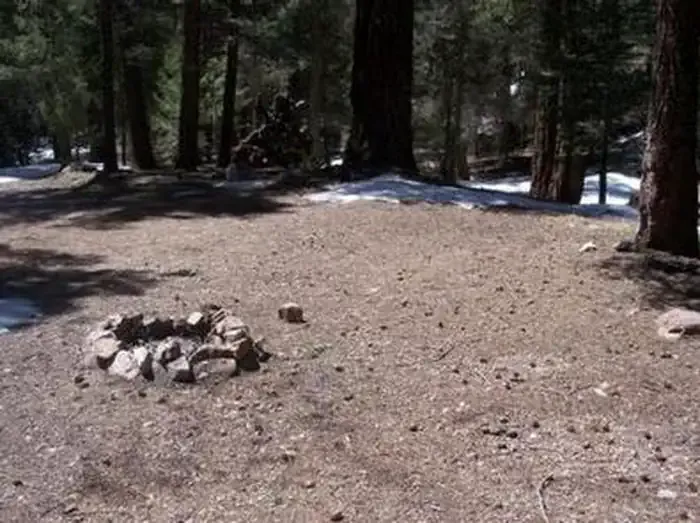 Upper Hospital Flat Group SiteCampingPhoto: Recreation.gov (RIDB) / public domain7.9 mi
Source: Roamze catalog (indexable pages within 10 miles, PostGIS distance)
 Ash RidgeMountain biking · ~5 min drivePhoto: Outdoor Craziness, CC BY-SA 3.0 (via Wikimedia Commons)
- Deadman HighlineMountain biking · ~6 min drivePhoto: Outdoor Craziness, CC BY-SA 3.0 (via Wikimedia Commons)
- Frye CanyonMountain biking · ~6 min drivePhoto: Outdoor Craziness, CC BY-SA 3.0 (via Wikimedia Commons)
- Cunningham LoopMountain biking · ~8 min drivePhoto: Outdoor Craziness, CC BY-SA 3.0 (via Wikimedia Commons)
 DeadmanMountain biking · ~9 min drivePhoto: Don Lancaster and Dr. James Neely, CC BY-SA 3.0 (via Wikimedia Commons)
 Big CreekMountain biking · ~10 min drivePhoto: Kjunewright, CC BY-SA 4.0 (via Wikimedia Commons)
- Grant CreekMountain biking · ~10 min drivePhoto: Outdoor Craziness, CC BY-SA 3.0 (via Wikimedia Commons)
- Grant Hill Loop CMountain biking · ~10 min drivePhoto: Outdoor Craziness, CC BY-SA 3.0 (via Wikimedia Commons)
- Grant Hill Loop AMountain biking · ~10 min drivePhoto: Kjunewright, CC BY-SA 4.0 (via Wikimedia Commons)
- Grant Hill LoopMountain biking · ~10 min drivePhoto: Kjunewright, CC BY-SA 4.0 (via Wikimedia Commons)
Also worth it near here
- Ash Creek FallsWaterfall · ~3 min drive
 Ash Creek DetourHiking · ~3 min drivePhoto: em_burk, CC BY-SA 2.0 (via Flickr)
 Mount GrahamSummit · ~7 min drivePhoto: No machine-readable author provided. GreatInca assumed (based on copyright claims)., CC BY-SA 3.0 (via Wikimedia Commons)
- Riggs LakeLake fishing · ~8 min drive
Map and trail data © OpenStreetMap contributors
