Rincon Spring Trail #331
- 3.8 mi
- round trip
- 494 ft
- climb
- 4,649 ft
- high point
- Out and back
- route
- Oct–Apr
- best months
Is Rincon Spring Trail #331 open right now?
Alert in the area
The Forest Service lists 3 alerts for Coronado National Forest.
Border Barrier Construction Closure
Agency alert covering Coronado National Forest · Order 03-05-00-26-011 · USFS · Coronado National Forest
No Fire Restrictions
Agency alert covering Coronado National Forest · USFS · Coronado National Forest
Barfoot Snake Closure Order 03-05-01-24-004
Agency alert covering Coronado National Forest · USFS · Coronado National Forest
As of · Source: USFS · Coronado National Forest. Agencies don't list every closure — check before you go.
Rincon Spring Trail #331 is an easy, out-and-back hike of about 3.8 miles in the Safford Ranger District of Coronado National Forest in Arizona. The trail rises about 494 feet from a low point of 4,164 feet to a high of 4,649 feet. Spring and fall are the most comfortable times to go. Typical averages from a nearby weather station in Safford, which sits about 1,500 feet lower, show highs around 73°F in March and 83°F in October. That station's records run warmer than the trail's higher ground, so temperatures on the route tend to run cooler. Several other destinations lie within a few miles. Gibson Canyon Trail #308 is about 2 miles away, Noon Creek campground is about 2.7 miles away, and Ladybug Trail #329 is about 3 miles away. Upper Arcadia campground is about 4.4 miles away.
- Gibson Canyon Trail #308Hiking2 mi
- Noon CreekCamping2.7 mi
 DeadmanMountain bikingPhoto: Don Lancaster and Dr. James Neely, CC BY-SA 3.0 (via Wikimedia Commons)2.9 mi
- Ladybug Trail #329Hiking3 mi
- Noon Creek Trail #302AHiking3 mi
- Upper ArcadiaCamping4.4 mi
- ArcadiaCamping4.5 mi
- Twilight Group SiteCamping4.9 mi
Source: Roamze catalog (indexable pages within 10 miles, PostGIS distance)
 Heliograph Trail #328AHiking · ~9 min drivePhoto: squeaks2569, CC BY-SA 2.0 (via Flickr)
- Arcadia Trail #328Hiking · ~9 min drivePhoto: squeaks2569, CC BY-SA 2.0 (via Flickr)
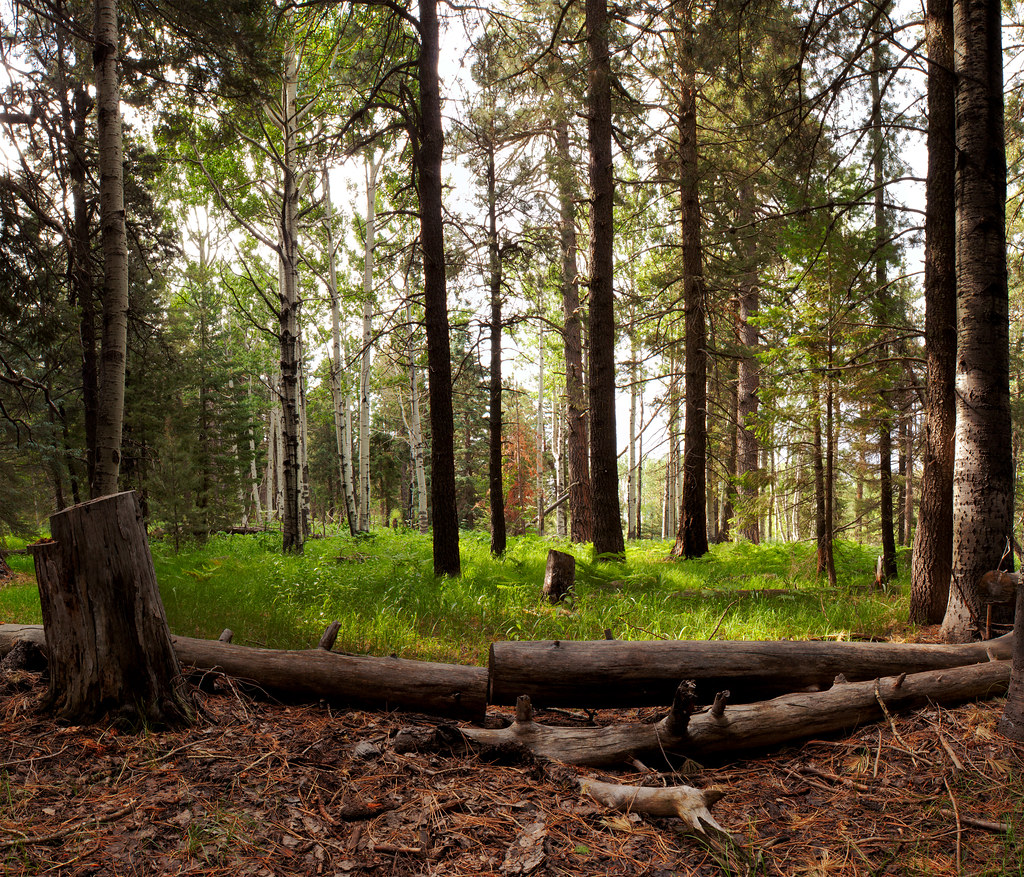 Jesus Goudy Ridge Trail #298Hiking · ~17 min drivePhoto: squeaks2569, CC BY-SA 2.0 (via Flickr)
 Round the Mountain Trail #302Hiking · ~11 min drivePhoto: em_burk, CC BY-SA 2.0 (via Flickr)
 Turkey FlatHiking · ~9 min drivePhoto: squeaks2569, CC BY-SA 2.0 (via Flickr)
- Shake Trail #309Hiking · ~11 min drivePhoto: squeaks2569, CC BY-SA 2.0 (via Flickr)
- Ladybug Trail #329Hiking · ~5 min drive
- Ash RidgeHiking · ~8 min drive
 Ash Creek DetourHiking · ~12 min drivePhoto: em_burk, CC BY-SA 2.0 (via Flickr)
 Blair CanyonHiking · ~16 min drivePhoto: squeaks2569, CC BY-SA 2.0 (via Flickr)
Also worth it near here
- DeadmanMountain biking · ~5 min drivePhoto: Don Lancaster and Dr. James Neely, CC BY-SA 3.0 (via Wikimedia Commons)
- Lebanon Reservoir Number TwoLake fishing · ~6 min drive
 Mount GrahamSummit · ~9 min drivePhoto: No machine-readable author provided. GreatInca assumed (based on copyright claims)., CC BY-SA 3.0 (via Wikimedia Commons)
- Ash Creek FallsWaterfall · ~11 min drive
Best time to visit Rincon Spring Trail #331
Best months: October–April. Best months have typical highs of 55–85 °F, lows of 30 °F or warmer (32 °F where the station doesn't record snow), at most one snowy day and no more than 12 wet days.
Jan
61° / 34°
4 wet
Feb
66° / 37°
3 wet
Mar
73° / 42°
3 wet
Apr
82° / 48°
1 wet
May
91° / 56°
2 wet
Jun
101° / 66°
5 wet
Jul
100° / 72°
8 wet
Aug
98° / 71°
7 wet
Sep
93° / 65°
5 wet
Oct
83° / 52°
3 wet
Nov
70° / 41°
3 wet
Dec
60° / 34°
4 wet
Typical high / low (°F) and days with rain or snow, 1991–2020. Measured at Safford Muni Ap, AZ, 13.4 mi away at 3,176 ft. The station sits about 1,500 ft lower than this place, so expect it a little cooler here. This station doesn't record snowfall. Source: NOAA NCEI U.S. Climate Normals 1991–2020.
Map and trail data © OpenStreetMap contributors
