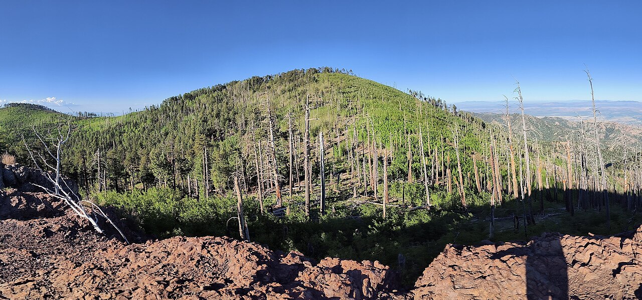
Witch Ridge
- 26.0 mi
- round trip
- 2,200 ft
- climb
- 7,440 ft
- high point
- Out and back
- route
Is Witch Ridge open right now?
Alert in the area
The Forest Service lists 3 alerts for Coronado National Forest.
Border Barrier Construction Closure
Agency alert covering Coronado National Forest · Order 03-05-00-26-011 · USFS · Coronado National Forest
No Fire Restrictions
Agency alert covering Coronado National Forest · USFS · Coronado National Forest
Barfoot Snake Closure Order 03-05-01-24-004
Agency alert covering Coronado National Forest · USFS · Coronado National Forest
As of · Source: USFS · Coronado National Forest. Agencies don't list every closure — check before you go.
Witch Ridge is a long, steep out-and-back hike in Arizona's Coronado National Forest, on the Douglas Ranger District. The trail rises from about 5,200 feet to about 7,400 feet, a climb of roughly 2,200 feet over 26 miles. It is a hard route, and it is not an accessible trail. The Forest Service manages the land, and the trail is natural-surface. Bicycles are allowed. The ridge makes a natural anchor for a day of hiking in the area. North Witch Trail #258 lies about a mile away, Middle Witch about 1.5 miles, and Fife Canyon about 2 miles. For an overnight stay, Sycamore campground is roughly 9 miles off.
Keep exploring — more trails worth the drive
 Photo: w_lemay, CC BY-SA 2.0 (via Flickr)
Upper Rhyolite
~10 min drive
0.96-mile out-and-back trail in Arizona with 477 ft elevation gain.
 Photo: w_lemay, CC BY-SA 2.0 (via Flickr)
Lower Rhyolite
~10 min drive
1.46-mile out-and-back trail in Arizona with 493 ft gain.
HIKE
Fife Canyon
~4 min drive
7.45-mile out-and-back trail in Arizona with 918 ft elevation gain.
HIKE
Saulsbury
~14 min drive
10.06-mile out-and-back trail in Arizona with 2,175 ft elevation gain.
Photo: w_lemay, CC BY-SA 2.0 (via Flickr)Heart of Rocks Loop
~11 min drive
0.70-mile loop in Arizona with 159 ft gain and 161 ft loss.
 Photo: w_lemay, CC BY-SA 2.0 (via Flickr)
Natural Bridge
~10 min drive
2.37-mile out-and-back trail in Arizona with 1,009 ft of elevation gain.
HIKE
Hoovey Canyon
~7 min drive
7.44-mile out-and-back trail in Arizona with 1,273 ft gain.
Photo: w_lemay, CC BY-SA 2.0 (via Flickr)Hailstone
~11 min drive
0.87-mile out-and-back trail in Arizona with 924 ft elevation gain.
 Photo: w_lemay, CC BY-SA 2.0 (via Flickr)
Sara Deming Trail
~11 min drive
1.53-mile out-and-back trail in Arizona with 6,567 ft elevation gain
HIKE
Rock Creek Trail #259
~9 min drive
15.12-mile out-and-back trail in Arizona with 3,108 ft elevation gain.