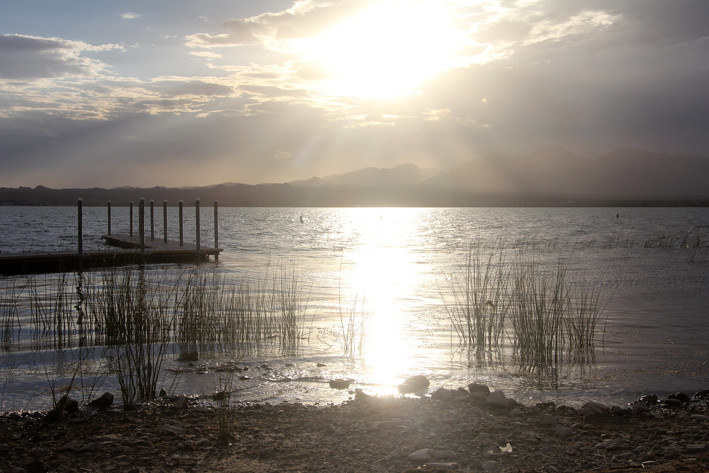
Unnamed BLM Trail
- 0.9 mi
- round trip
- 6 ft
- climb
- 1,603 ft
- high point
- Out and back
- route
- Nov–Mar
- best months
Clear today
Weather is good · OpenWeather · checked just now
This short, easy hike on Bureau of Land Management land in Arizona's Lake Havasu Field Office covers less than a mile, with a total elevation gain of about 6 feet. The route is an out-and-back, starting and ending at roughly 1,538 feet and reaching a high point of about 1,603 feet. The trail is a natural-surface path, and it is open to both horses and bikes. That makes it a practical choice for riders and equestrians as well as hikers. Winter and early spring are the most comfortable times to go. Typical averages from a nearby weather station in Lake Havasu City show January highs around 65°F and lows near 43°F, while summer highs climb into the 100s. That station sits well below the trail, so temperatures on the route run cooler. Crab Claw, a climbing area, is about 3 miles away, and Needles Mountain Trail is about 8 miles away.
Local outfitters
- Arizona State Parks & Trails11 mi away
- Sunrise Adventures Ridgeview Resort39 mi away
Not on Roamze yet. Their page has how to reach them.
Source: Roamze catalog (indexable pages within 10 miles, PostGIS distance)
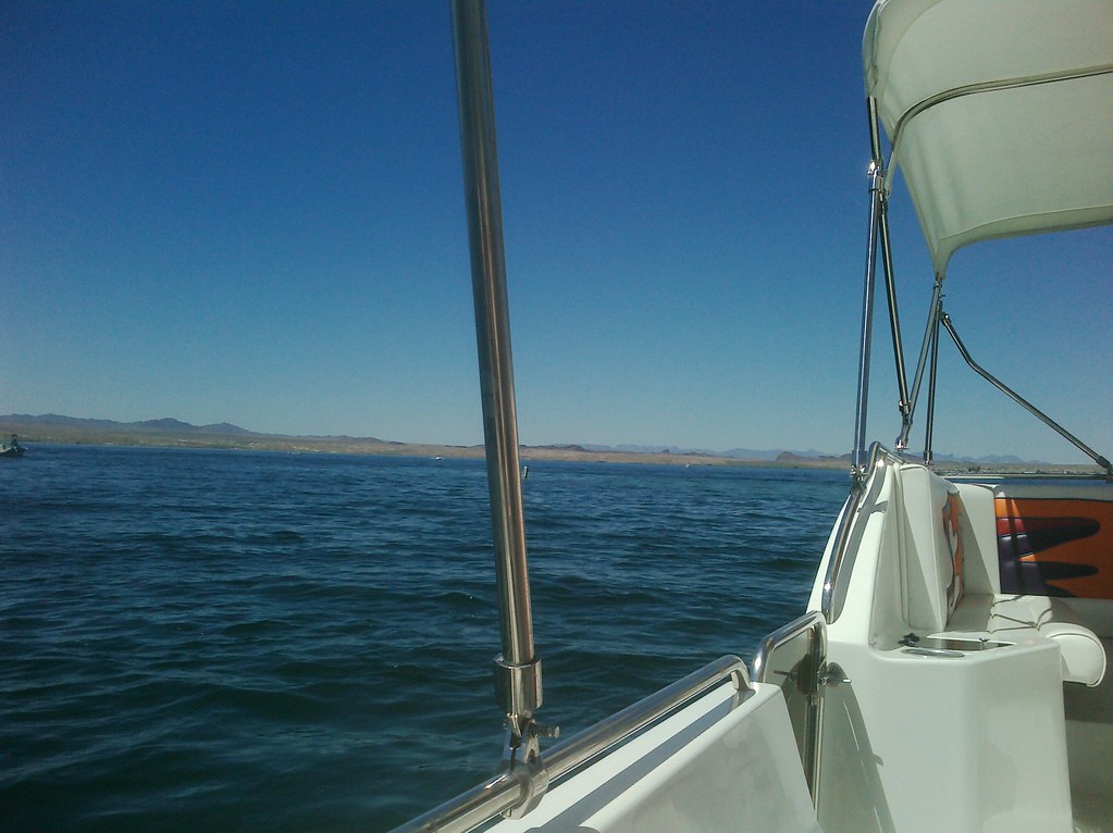 Mesquite Bay South TrailHiking · ~17 min drivePhoto: AFresh1, CC BY 2.0 (via Flickr)
- Friendly Fair TrailHiking · ~23 min drive
- Heritage TrailHiking · ~30 min drive
 4455AaHiking · ~23 min drivePhoto: Patriot1423, CC BY-SA 4.0 (via Wikimedia Commons)
- Trails End TrailHiking · ~25 min drive
- Needles to Ludlow Truck TrailHiking · ~31 min drive
 McKinney LoopHiking · ~37 min drivePhoto: homeredwardprice, CC BY 2.0 (via Flickr)
- West Well TrailHiking · ~29 min drive
- Glory Been TrailHiking · ~47 min drive
- Ted's TrailHiking · ~38 min drivePhoto: homeredwardprice, CC BY 2.0 (via Flickr)
Best time to visit Unnamed BLM Trail
Best months: November–March. Best months have typical highs of 55–85 °F, lows of 30 °F or warmer (32 °F where the station doesn't record snow), at most one snowy day and no more than 12 wet days.
Jan
65° / 43°
3 wet
Feb
70° / 46°
2 wet
Mar
78° / 51°
2 wet
Apr
86° / 58°
1 wet
May
95° / 67°
0 wet
Jun
105° / 76°
0 wet
Jul
109° / 83°
1 wet
Aug
108° / 82°
2 wet
Sep
102° / 75°
2 wet
Oct
89° / 62°
1 wet
Nov
75° / 50°
1 wet
Dec
64° / 42°
2 wet
Typical high / low (°F) and days with rain or snow, 1991–2020. Measured at Lake Havasu City, AZ, 10.3 mi away at 449 ft. The station sits about 1,200 ft lower than this place, so expect it a little cooler here. Source: NOAA NCEI U.S. Climate Normals 1991–2020.