Glory Been Trail
- 5.9 mi
- round trip
- 426 ft
- climb
- 1,683 ft
- high point
- Out and back
- route
- Nov–Mar
- best months
Glory Been Trail is a 5.9-mile out-and-back hike on Bureau of Land Management land within the Needles Field Office in California. The route gains about 400 feet in elevation from its starting point at 1,306 feet to a high of 1,683 feet, and the climb is front-loaded, with the steepest stretch at about 5.3 miles in. The trail's total gain and loss are both about 426 feet. The cooler months are the most comfortable time to go. Typical averages from a nearby weather station at Needles, about 20 miles away and roughly 800 feet lower, show highs in the mid-60s in January and February, while July and August average around 110 degrees. Temperatures on the trail run cooler than those figures. The hike takes about four hours. The Chemehuevi Valley Trail lies about 3.4 miles away, and Browns Camp Trail is about 5.9 miles away. Lost Arch Historic Mining Camp, about 6.3 miles off, offers a place to camp. The Lisa Dawn Trail is roughly 6.6 miles away.
Local outfitters
- Arizona State Parks & Trails22 mi away
- Sunrise Adventures Ridgeview Resort48 mi away
Not on Roamze yet. Their page has how to reach them.
- Chemehuevi Valley TrailHiking3.4 mi
- Browns Camp TrailHiking5.9 mi
- Lost Arch Historic Mining CampCamping6.3 mi
- Lisa Dawn TrailHiking6.6 mi
- Mailbox TrailHiking6.9 mi
Source: Roamze catalog (indexable pages within 10 miles, PostGIS distance)
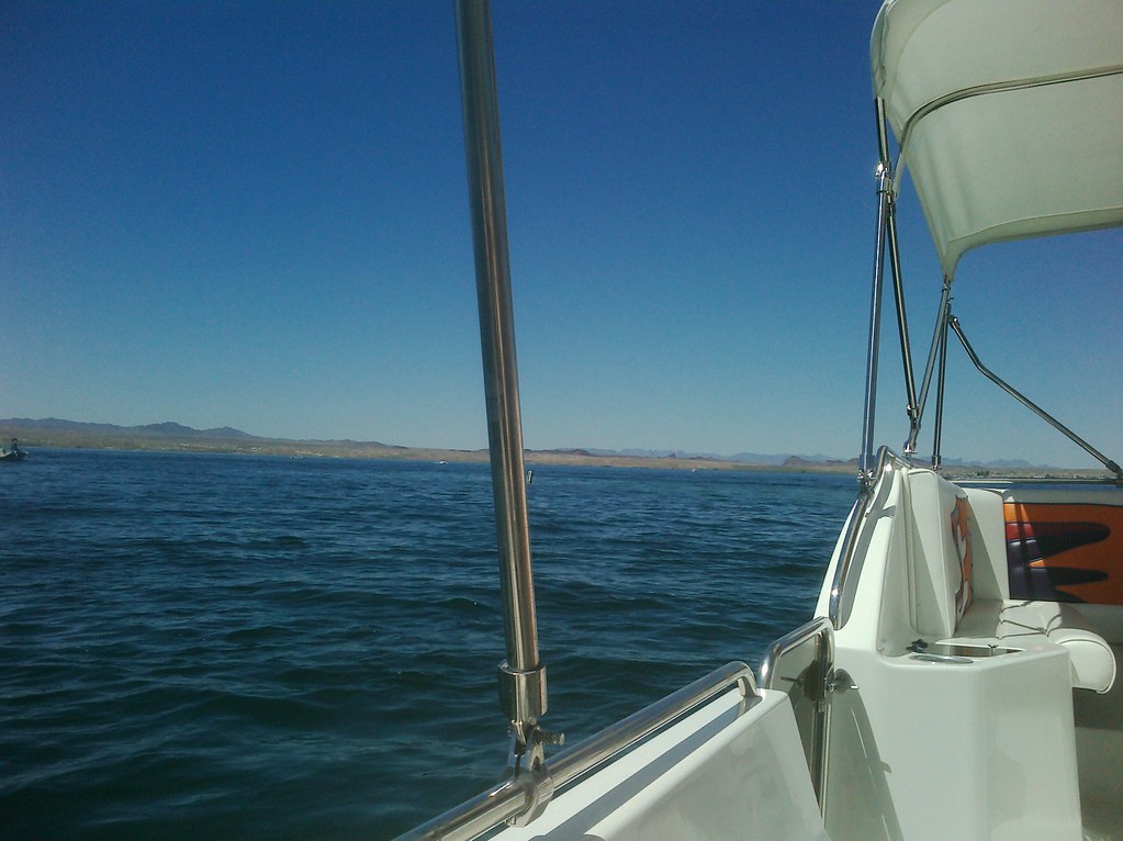 Mesquite Bay South TrailHiking · ~37 min drivePhoto: AFresh1, CC BY 2.0 (via Flickr)
- Chemehuevi Valley TrailHiking · ~6 min drive
- Heritage TrailHiking · ~18 min drive
 4455AaHiking · ~45 min drivePhoto: Patriot1423, CC BY-SA 4.0 (via Wikimedia Commons)
- Heritage TrailHiking · ~26 min drive
- Mopah TrailHiking · ~21 min drive
 McKinney LoopHiking · ~59 min drivePhoto: homeredwardprice, CC BY 2.0 (via Flickr)
- Needles to Ludlow Truck TrailHiking · ~27 min drive
- West Well TrailHiking · ~27 min drive
- Ted's TrailHiking · ~60 min drivePhoto: homeredwardprice, CC BY 2.0 (via Flickr)
Best time to visit Glory Been Trail
Best months: November–March. Best months have typical highs of 55–85 °F, lows of 30 °F or warmer (32 °F where the station doesn't record snow), at most one snowy day and no more than 12 wet days.
Jan
66° / 46°
3 wet
Feb
71° / 49°
3 wet
Mar
79° / 54°
3 wet
Apr
87° / 61°
1 wet
May
96° / 70°
1 wet
Jun
106° / 80°
1 wet
Jul
110° / 87°
2 wet
Aug
109° / 85°
2 wet
Sep
103° / 77°
2 wet
Oct
89° / 65°
1 wet
Nov
75° / 53°
2 wet
Dec
64° / 45°
2 wet
Typical high / low (°F) and days with rain or snow, 1991–2020. Measured at Needles Ap, CA, 20 mi away at 890 ft. The station sits about 800 ft lower than this place, so expect it a little cooler here. Source: NOAA NCEI U.S. Climate Normals 1991–2020.
Map and trail data © OpenStreetMap contributors
