Tuckup Alternate
1.20-mile out-and-back trail in Arizona with 328 ft gain.
 Photo: Kantiki, CC BY-SA 3.0 (via Wikimedia Commons)
- 1.2 mi
- round trip
- 344 ft
- climb
- 4,588 ft
- high point
- Out and back
- route
Is Tuckup Alternate open right now?
Closure in the area
There's a closure order in Grand Canyon National Park. It doesn't name Tuckup Alternate, so check the source for the area it covers.
North Rim Scenic Road Closure: Cape Royal and Point Imperial
Park closure covering Grand Canyon National Park · NPS · Grand Canyon National Park
INNER CANYON TRAIL CLOSURES
Park alert covering Grand Canyon National Park · NPS · Grand Canyon National Park
Overnight Lodging Suspended and Parkwide Stage 4 Water Restrictions
Park alert covering Grand Canyon National Park · NPS · Grand Canyon National Park
INNER CANYON WATER SHUTOFFS
Park alert covering Grand Canyon National Park · NPS · Grand Canyon National Park
Critical Backcountry Updates/Closures
Park alert covering Grand Canyon National Park · NPS · Grand Canyon National Park
As of · Source: NPS · Grand Canyon National Park. Agencies don't list every closure — check before you go.
Best time to visit Tuckup Alternate
Best months: April–May and September–October. Best months have typical highs of 55–85 °F, lows of 30 °F or warmer (32 °F where the station doesn't record snow), at most one snowy day and no more than 12 wet days.
Jan
48° / 23°
5 wet
Feb
52° / 26°
6 wet
Mar
61° / 31°
5 wet
Apr
68° / 36°
4 wet
May
78° / 45°
3 wet
Jun
89° / 53°
2 wet
Jul
94° / 61°
5 wet
Aug
92° / 60°
6 wet
Sep
85° / 52°
4 wet
Oct
72° / 40°
4 wet
Nov
59° / 30°
3 wet
Dec
47° / 22°
4 wet
Typical high / low (°F) and days with rain or snow, 1991–2020. Measured at Pipe Spring Nm, AZ, 47.4 mi away at 4,920 ft. This station doesn't record snowfall. Source: NOAA NCEI U.S. Climate Normals 1991–2020.
Tuckup Alternate is an easy, out-and-back hike in Grand Canyon National Park in Arizona, managed by the National Park Service. The route is about 2.4 miles long and gains about 24 feet in elevation, so it's a short walk with almost no climb. The trail starts near the low point of about 4,565 feet and peaks at about 4,588 feet, with the steepest part coming at roughly 0.3 miles in. Spring and fall are the most comfortable times to go. Typical averages from a nearby weather station show May highs around 78°F and October highs around 72°F, while July averages climb to about 94°F. The Saddle Horse Loop lies just 0.1 mile away, and the Tuckup Trail is about 0.7 mile off. The Lava Falls Trail and Brady Hollow Trail are both within about 6 miles.
Keep exploring — more trails worth the drive
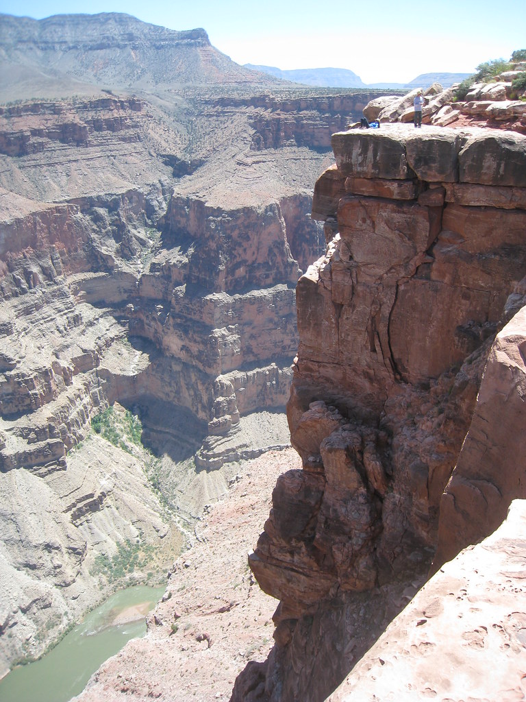 Photo: GSEC, CC BY 2.0 (via Flickr)
Saddle Horse Loop
~0 min drive
1.90-mile out-and-back trail in Arizona with 74 ft of elevation gain.
Photo: Kantiki, CC BY-SA 3.0 (via Wikimedia Commons)Tuckup Trail
~1 min drive
139.66-mile out-and-back trail in Arizona with 198 ft elevation gain.
 Photo: GSEC, CC BY 2.0 (via Flickr)
Whitmore Trail
~16 min drive
2.04-mile out-and-back trail in Arizona with 254 ft gain and 1,154 ft loss.
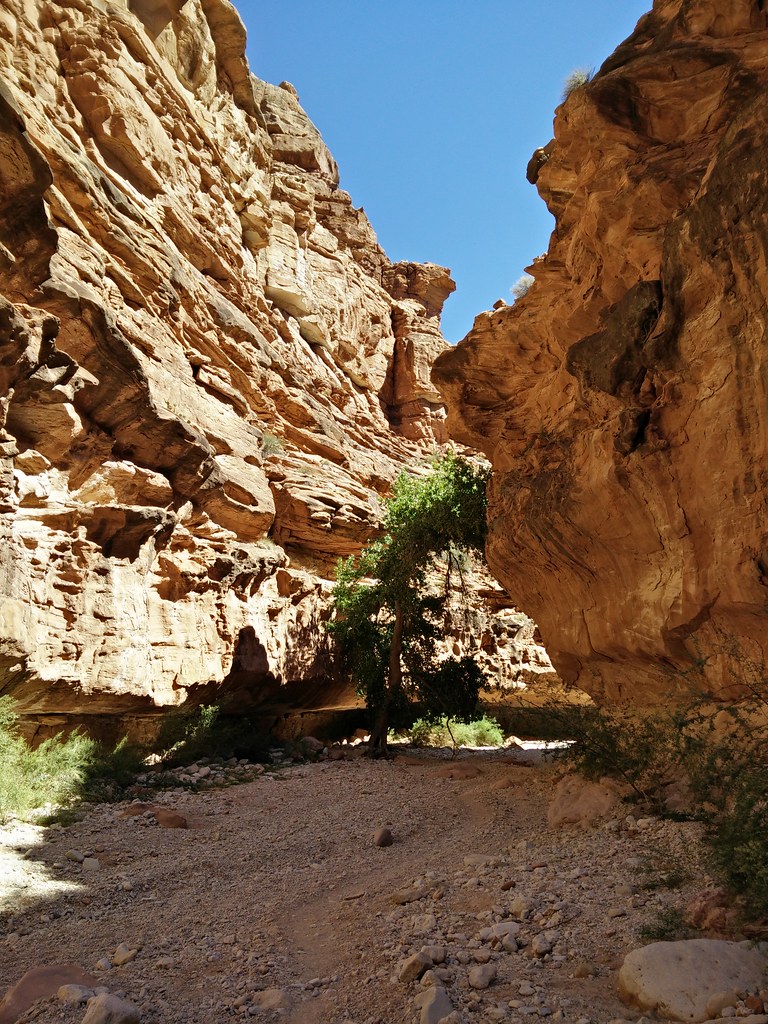 Photo: andrewharvey4, CC BY 2.0 (via Flickr)
Supai Trail
~35 min drive
41.5-mile out-and-back trail in Arizona with 3,871 ft elevation gain.
 Photo: Jason Hollinger, CC BY 2.0 (via Wikimedia Commons)
Beaver Falls Trail
~32 min drive
4.12-mile out-and-back hike to Beaver Falls in Arizona with 456 ft of elevation gain.
Photo: Jason Hollinger, CC BY 2.0 (via Wikimedia Commons)Havasupai Trail
~34 min drive
20.67-mile out-and-back trail in Arizona with 2,264 ft gain.
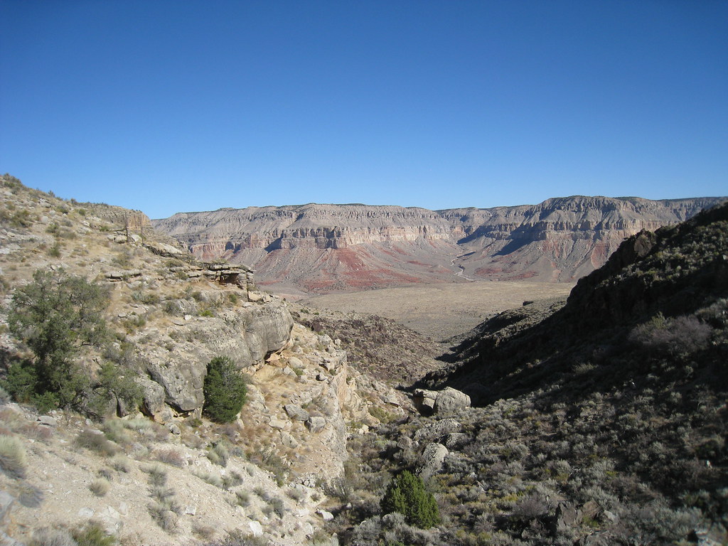 Photo: GSEC, CC BY 2.0 (via Flickr)
Schmutz Spring Trail
~21 min drive
3.44-mile out-and-back hike in Arizona with 1,304 ft elevation gain.
 Photo: User:Moondigger, CC BY-SA 2.5 (via Wikimedia Commons)
Havasupai Village West Trail
~35 min drive
0.82-mile out-and-back trail with 249 ft elevation gain in Havasupai Village, Arizona
 Photo: Gonzo fan2007, CC BY-SA 3.0 (via Wikimedia Commons)
Royal Arch Route
~1h 6m drive
27.96-mile out-and-back trail in Arizona with 2,228 ft elevation gain.
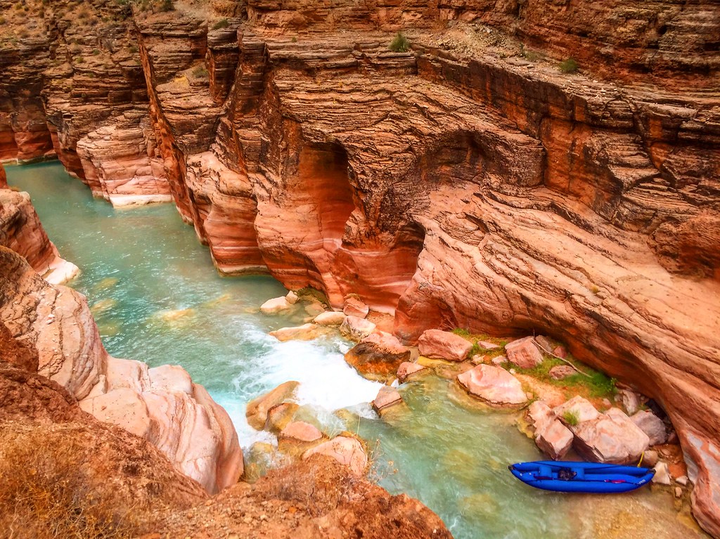 Photo: Nate Loper • #ArizonaGuide ️, CC BY 2.0 (via Flickr)
Havasu Canyon Trail
~30 min drive
6.85-mile out-and-back hike in Havasu Canyon, Arizona with 445 ft gain.

