Schmutz Spring Trail
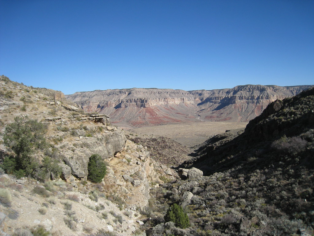 Photo: GSEC, CC BY 2.0 (via Flickr)
- 3.4 mi
- round trip
- 1,304 ft
- climb
- 5,778 ft
- high point
- Out and back
- route
- Apr–May, Sep–Oct
- best months
Clear today
Weather is good · OpenWeather · checked 1 h ago
Is Schmutz Spring Trail open right now?
Closure in the area
There's a closure order in Grand Canyon National Park. It doesn't name Schmutz Spring Trail, so check the source for the area it covers.
INNER CANYON TRAIL CLOSURES
Park closure covering Grand Canyon National Park · NPS · Grand Canyon National Park
Overnight Lodging Suspended and Parkwide Stage 4 Water Restrictions
Park alert covering Grand Canyon National Park · NPS · Grand Canyon National Park
INNER CANYON WATER SHUTOFFS
Park alert covering Grand Canyon National Park · NPS · Grand Canyon National Park
Critical Backcountry Updates/Closures
Park alert covering Grand Canyon National Park · NPS · Grand Canyon National Park
As of · Source: NPS · Grand Canyon National Park. Agencies don't list every closure — check before you go.
Schmutz Spring Trail is a 3.4-mile out-and-back hike in Grand Canyon National Park in northern Arizona. The National Park Service manages the land. The route starts at an elevation of about 4,474 feet and climbs to roughly 5,778 feet, a total gain of about 1,304 feet. It is rated moderate. Spring and fall are the most comfortable times to go. Typical averages from a nearby weather station at Pipe Spring run about 68°F in April and 72°F in October, while July highs average around 94°F and January lows drop to about 23°F. A fee is charged for the visit. The trail is about 6.9 miles from Brady Hollow Trail and about 9.3 miles from Havasu Canyon Trail.
Local outfitters
- Zion Glamping Adventures46 mi away
Not on Roamze yet. Their page has how to reach them.
- Brady Hollow TrailHiking6.9 mi
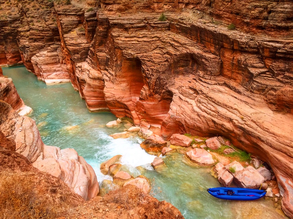 Havasu Canyon TrailHikingPhoto: Nate Loper • #ArizonaGuide ️, CC BY 2.0 (via Flickr)9.3 mi
Source: Roamze catalog (indexable pages within 10 miles, PostGIS distance)
- Havasu Canyon TrailHiking · ~16 min drivePhoto: Nate Loper • #ArizonaGuide ️, CC BY 2.0 (via Flickr)
 Tuckup TrailHiking · ~20 min drivePhoto: Kantiki, CC BY-SA 3.0 (via Wikimedia Commons)
 Beaver Falls TrailHiking · ~20 min drivePhoto: Jason Hollinger, CC BY 2.0 (via Wikimedia Commons)
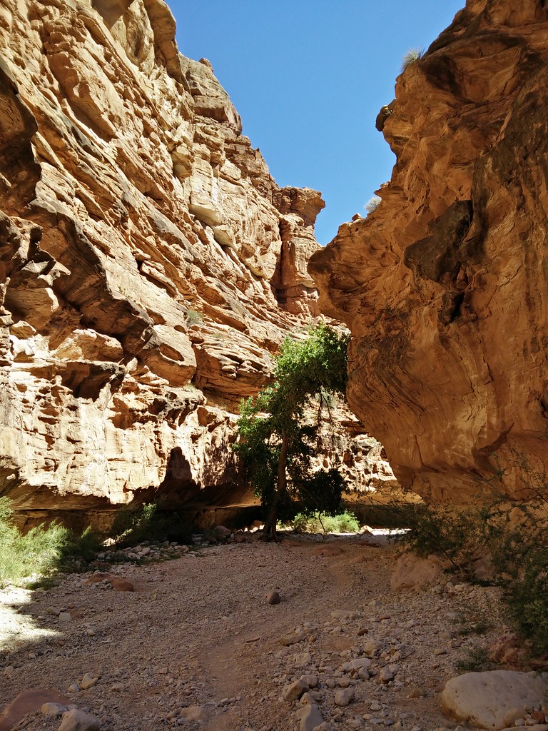 Supai TrailHiking · ~27 min drivePhoto: andrewharvey4, CC BY 2.0 (via Flickr)
 Whitmore TrailHiking · ~37 min drivePhoto: GSEC, CC BY 2.0 (via Flickr)
- Havasupai TrailHiking · ~23 min drivePhoto: Jason Hollinger, CC BY 2.0 (via Wikimedia Commons)
- Tuckup AlternateHiking · ~21 min drivePhoto: Kantiki, CC BY-SA 3.0 (via Wikimedia Commons)
 Deer Creek TrailHiking · ~42 min drivePhoto: Grand Canyon National Park, CC BY 2.0 (via Wikimedia Commons)
 North Bass TrailHiking · ~54 min drivePhoto: Gonzo fan2007, CC BY-SA 4.0 (via Wikimedia Commons)
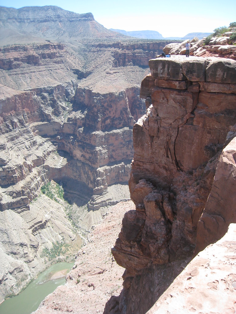 Saddle Horse LoopHiking · ~21 min drivePhoto: GSEC, CC BY 2.0 (via Flickr)
Best time to visit Schmutz Spring Trail
Best months: April–May and September–October. Best months have typical highs of 55–85 °F, lows of 30 °F or warmer (32 °F where the station doesn't record snow), at most one snowy day and no more than 12 wet days.
Jan
48° / 23°
5 wet
Feb
52° / 26°
6 wet
Mar
61° / 31°
5 wet
Apr
68° / 36°
4 wet
May
78° / 45°
3 wet
Jun
89° / 53°
2 wet
Jul
94° / 61°
5 wet
Aug
92° / 60°
6 wet
Sep
85° / 52°
4 wet
Oct
72° / 40°
4 wet
Nov
59° / 30°
3 wet
Dec
47° / 22°
4 wet
Typical high / low (°F) and days with rain or snow, 1991–2020. Measured at Pipe Spring Nm, AZ, 36.2 mi away at 4,920 ft. The station sits about 900 ft lower than this place, so expect it a little cooler here. This station doesn't record snowfall. Source: NOAA NCEI U.S. Climate Normals 1991–2020.

Map and trail data © OpenStreetMap contributors
