Free — you'll pick up right here.
Watch this water
Sign up to watch it — saving subscribes you to gate, closure and report changes.
Arizona
Mount Logan Wilderness Area
No verdict for this water
We won't guess. Here is exactly what we do and don't know.
What we do know
Inside Mount Logan Wilderness
Wilderness area boundary is mapped — agency alerts for it feed this page automatically.
Boundary data
What's missing
No access route mapped
We don't yet know which road reaches this trailhead, so we can't tell you if it's gated.
Nobody's filed a report here yet — be the first.
Why you'll love it
Here's your day on the water, mapped
Mount Logan Wilderness Area
AI-suggested draft · review before you go
Gear for the day
Photos
Directions & GPX
About this water
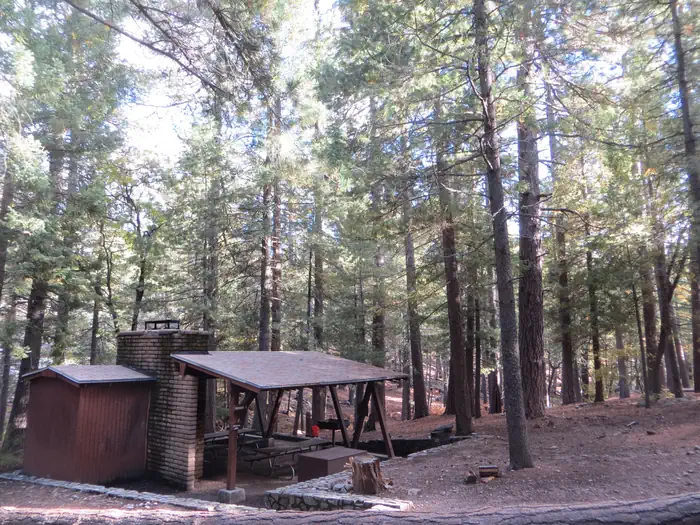
The 14,650-acre Mount Logan Wilderness Area lies 45 miles south of Colorado City, Arizona, just north of the Grand Canyon in Mohave County. Hiking, camping, scenic vistas, watching wildlife and hunting are some of the prime recreational opportunities found in this wilderness. One example is the Mt. Logan Summit and Hells Hole Overlook.Mt. Logan is an area of interesting volcanic activity. It includes basalt ledges, cinder cones, ponderosa pine forests, pinyon-juniper woodlands, and a large, colorful, naturally eroded amphitheater known as Hells Hole. The area provides habitat for deer, turkey, and Kaibab squirrels.Motorized equipment and equipment used for mechanical transport are generally prohibited on all federal lands designated as wilderness. This includes the use of motor vehicles (including OHVs), motorboats, bicycles, hang gliders, wagons, carts, portage wheels, and the landing of aircraft including helicopters and drones. Contact the agency for more information about regulations.A parcel of private land lies within the wilderness at Big Spring. Please respect the property rights of the owner and do not cross or use these lands without permission.
Add to a trip & share
Keep exploring — more waters worth the drive
Death Valley Lake
~7 min drive
A worthwhile stop near Arizona.
Mount Trumbull Wilderness Area
~13 min drive
A worthwhile stop near Arizona.
National Tank
~49 min drive
A worthwhile stop near Arizona.
Number Eleven Tank
~1h 14m drive
A worthwhile stop near Arizona.
New Water Tank
~1h 14m drive
A worthwhile stop near Arizona.
Lake Mead
~1h 18m drive
A worthwhile stop near Arizona.
Jeff Tank
~1h 20m drive
A worthwhile stop near Arizona.
Paiute Wilderness Area
~1h 22m drive
A worthwhile stop near Arizona.
Rodgers Tank
~1h 23m drive
A worthwhile stop near Arizona.
Horse Flat Tank
~1h 23m drive
A worthwhile stop near Arizona.

