Towers Mountain
- 2.7 mi
- round trip
- 2,675 ft
- climb
- 7,520 ft
- high point
- Out and back
- route
Is Towers Mountain open right now?
Closure in the area
There's a closure order in Bradshaw Ranger District. It doesn't name Towers Mountain, so check the source for the area it covers (2 listed).
Lynx Lake Boat Ramp and Trail Closure Order
Agency closure covering Bradshaw Ranger District · Order 03-09-03-26-12 · USFS · Bradshaw Ranger District
NFS Road 354 Closure Order #03-07-26-02
Agency closure covering Prescott National Forest · Order 03-07-26-02 · USFS · Prescott National Forest
As of · Source: USFS · Bradshaw Ranger District. Agencies don't list every closure — check before you go.
Towers Mountain is an easy hike in the Bradshaw Ranger District of Prescott National Forest in Arizona, about 2.65 miles from the trailhead. The route is an out-and-back that gains about 1,227 feet one way, with the steepest stretch at about 0.46 miles in, where the grade reaches 32 percent. The total round-trip climb is about 2,675 feet, and the trail's natural surface makes it suitable for horses and bikes. The trail starts at about 7,500 feet and reaches a high point of about 7,520 feet. The climb is rated easy, and the Forest Service lists both horses and bikes as allowed. Nearby, the Bradshaw Trail lies about 0.8 miles away and the Horse Mountain Trail about 1.2 miles away. For fishing, the Crown King Area (Horsethief Basin) is about 2.5 miles off, and the climbing at King Dome is about 2.6 miles away.
Local outfitters
- Black Canyon Campground18 mi away
- Arizona Desert Mountain Jeep Tours49 mi away
Not on Roamze yet. Their page has how to reach them.
 Bradshaw TrailHikingPhoto: Ken Lund from Reno, Nevada, USA, CC BY-SA 2.0 (via Wikimedia Commons)0.8 mi
 Horse Mountain TrailHikingPhoto: turndriverside, CC BY-SA 3.0 (via Wikimedia Commons)1.2 mi
- Crown King Area (Horsethief Basin)River fishing2.5 mi
- King DomeRock climbing2.6 mi
- AlgonquinHiking3.7 mi
- Turney Gulch GroupCamping6.4 mi
- Hazlett Hollow CampgroundCamping6.5 mi
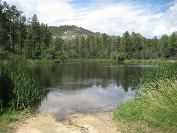 Horsethief CabinCampingPhoto: Recreation.gov (RIDB) / public domain6.7 mi
Source: Roamze catalog (indexable pages within 10 miles, PostGIS distance)
- Bradshaw TrailHiking · ~1 min drivePhoto: Ken Lund from Reno, Nevada, USA, CC BY-SA 2.0 (via Wikimedia Commons)
- Horse Mountain TrailHiking · ~2 min drivePhoto: turndriverside, CC BY-SA 3.0 (via Wikimedia Commons)
 Dandrea Trail #285Hiking · ~23 min drivePhoto: gizilich, CC BY-SA 3.0 (via Wikimedia Commons)
- WagonerHiking · ~11 min drive
 E Cross LHiking · ~21 min drivePhoto: gizilich, CC BY-SA 3.0 (via Wikimedia Commons)
 Yankee Doodle Trail #284Hiking · ~23 min drivePhoto: Ken Lund from Reno, Nevada, USA, CC BY-SA 2.0 (via Wikimedia Commons)
- Forest 225 TrailHiking · ~9 min drive
- ARRASTRA CREEKHiking · ~17 min drive
- PINE CREEKHiking · ~21 min drivePhoto: Ken Lund from Reno, Nevada, USA, CC BY-SA 2.0 (via Wikimedia Commons)
- Horse Thief 52 TrailHiking · ~12 min drive
