Minnehaha Waters
- 4,919 ft
- elevation
- Forest Service
- managed by
- Oct–May
- best months
Is Minnehaha Waters open right now?
Closure in the area
There's a closure order in Bradshaw Ranger District. It doesn't name Minnehaha Waters, so check the source for the area it covers (2 listed).
Lynx Lake Boat Ramp and Trail Closure Order
Agency closure covering Bradshaw Ranger District · Order 03-09-03-26-12 · USFS · Bradshaw Ranger District
NFS Road 354 Closure Order #03-07-26-02
Agency closure covering Prescott National Forest · Order 03-07-26-02 · USFS · Prescott National Forest
As of · Source: USFS · Bradshaw Ranger District. Agencies don't list every closure — check before you go.
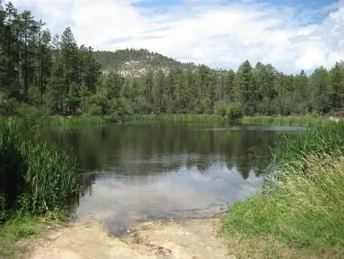
Minnehaha Waters is a waterfall in Yavapai County, Arizona, sitting at about 4,919 feet in the Bradshaw Ranger District of Prescott National Forest. The Forest Service manages the land, and the nearest town is Spring Valley, about 18 miles away. Spring and fall are the most comfortable times to visit. Typical averages from a nearby weather station at Cordes, about 16 miles away, put April highs around 74°F and October highs near 79°F, while July averages about 96°F. Several trails start close by, including Horse Mountain Trail about 3 miles away and Forest Trail 682 about 3.3 miles away. Climbers can head to King Dome, roughly 5 miles off, and paddlers will find the Hassayampa River about 10 miles away.
- Elevation
- 4,919 ft
- Land manager
- Forest Service
Elevation from USGS 3D Elevation Program terrain data (about 10 m resolution).
 Horse Mountain TrailHikingPhoto: turndriverside, CC BY-SA 3.0 (via Wikimedia Commons)2.9 mi
- Forest Trail 682Hiking3.3 mi
- Cherry Creek Trail #214Hiking3.3 mi
- King DomeRock climbing4.8 mi
- Crown King Area (Horsethief Basin)River fishing5 mi
 Horsethief CabinCampingPhoto: Recreation.gov (RIDB) / public domain8 mi
- Turney Gulch GroupCamping8.1 mi
 Hassayampa RiverCanoeingPhoto: John Menard from Phoenix, USA, CC BY-SA 2.0 (via Wikimedia Commons)9.6 mi
Source: Roamze catalog (indexable pages within 10 miles, PostGIS distance)
Also worth it near here
- Horse Mountain TrailHiking · ~5 min drivePhoto: turndriverside, CC BY-SA 3.0 (via Wikimedia Commons)
- King DomeRock climbing · ~8 min drive
- Crown King Area (Horsethief Basin)River fishing · ~9 min drive
- Horsethief CabinCamping · ~14 min drive
- Hassayampa RiverCanoeing · ~16 min drivePhoto: John Menard from Phoenix, USA, CC BY-SA 2.0 (via Wikimedia Commons)
Best time to visit Minnehaha Waters
Best months: October–May. Best months have typical highs of 55–85 °F, lows of 30 °F or warmer (32 °F where the station doesn't record snow), at most one snowy day and no more than 12 wet days.
Jan
59° / 33°
5 wet
Feb
61° / 35°
5 wet
Mar
67° / 38°
5 wet
Apr
74° / 42°
2 wet
May
83° / 50°
2 wet
Jun
93° / 58°
2 wet
Jul
96° / 66°
6 wet
Aug
94° / 66°
7 wet
Sep
89° / 60°
4 wet
Oct
79° / 49°
3 wet
Nov
67° / 39°
3 wet
Dec
58° / 33°
4 wet
Typical high / low (°F) and days with rain or snow, 1991–2020. Measured at Cordes, AZ, 16.4 mi away at 3,771 ft. The station sits about 1,100 ft lower than this place, so expect it a little cooler here. This station doesn't record snowfall. Source: NOAA NCEI U.S. Climate Normals 1991–2020.
