Dispersed Site 7
Campground
Campground · 1.8 mi from the trail
 Photo: gizilich, CC BY-SA 3.0 (via Wikimedia Commons)
Closure in the area
There's a closure order in Bradshaw Ranger District. It doesn't name Dandrea Trail #285, so check the source for the area it covers (2 listed).
Lynx Lake Boat Ramp and Trail Closure Order
Agency closure covering Bradshaw Ranger District · Order 03-09-03-26-12 · USFS · Bradshaw Ranger District
NFS Road 354 Closure Order #03-07-26-02
Agency closure covering Prescott National Forest · Order 03-07-26-02 · USFS · Prescott National Forest
As of · Source: USFS · Bradshaw Ranger District. Agencies don't list every closure — check before you go.
Dandrea Trail #285 is a short out-and-back hike in the Bradshaw Ranger District of Prescott National Forest in Arizona. The Forest Service manages the land, and the trail is about 1.16 miles long, with a total elevation gain of 872 feet. The climb is front-loaded, peaking at 7,607 feet, and the route is rated easy. The trail starts at about 6,932 feet. The steepest part comes around the 0.8-mile mark, where the grade reaches about 18 percent. The round trip covers roughly 2.3 miles, and the whole hike should take about an hour. Isabella is about half a mile away, and Groom Creek Loop is just over a mile off. Climbers can head to Wolf Creek, 384 Boulders, about 2.6 miles away, and Lynx Lake Recreation Area offers fishing about 6.5 miles from the trail.
Dispersed Site 7
Campground
Los Pinos Mexican Food
Mexican restaurant
 If it rainsDoncram, CC BY-SA 3.0 · Wikimedia Commons
An open-air museum located in Prescott, Arizona
Places © OpenStreetMap contributors, Places © Overture Maps Foundation · Photos: Doncram, CC BY-SA 3.0 (commons)
More in PrescottNot on Roamze yet. Their page has how to reach them.
 IsabellaHikingPhoto: gizilich, CC BY-SA 3.0 (via Wikimedia Commons)0.5 mi
Source: Roamze catalog (indexable pages within 10 miles, PostGIS distance)
 Yankee Doodle Trail #284Hiking · ~3 min drivePhoto: Ken Lund from Reno, Nevada, USA, CC BY-SA 2.0 (via Wikimedia Commons)
 E Cross LHiking · ~4 min drivePhoto: gizilich, CC BY-SA 3.0 (via Wikimedia Commons)
 Schoolhouse Gulch Trail #67Hiking · ~8 min drivePhoto: Scottb211, CC BY 2.0 (via Flickr)GrapevineHiking · ~8 min drivePhoto: Ken Lund from Reno, Nevada, USA, CC BY-SA 2.0 (via Wikimedia Commons)PINE CREEKHiking · ~6 min drivePhoto: Ken Lund from Reno, Nevada, USA, CC BY-SA 2.0 (via Wikimedia Commons)Goldwater Loop TrailHiking · ~9 min drivePhoto: Scottb211, CC BY 2.0 (via Flickr)Watershed Trail #299Hiking · ~8 min drivePhoto: Scottb211, CC BY 2.0 (via Flickr)
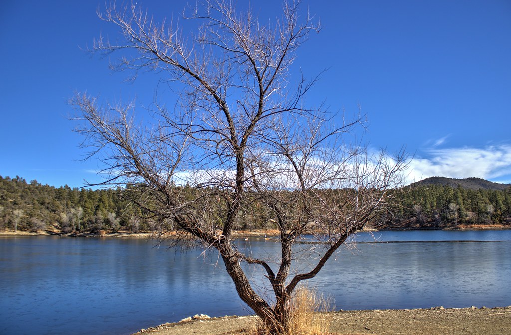 Lynx Lake Loop FHiking · ~11 min drivePhoto: Scottb211, CC BY 2.0 (via Flickr)
Map and trail data © OpenStreetMap contributors
