
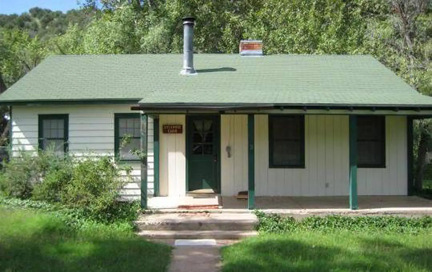

Camp Avalon Spiritual Nature Retreat
Hiking business nearby (~24 mi away) — hasn't claimed their Roamze page yet
Free — you'll pick up right here.
Watch this trail
Sign up to watch it — saving subscribes you to gate, closure and report changes.
Arizona
8.6 mi
Distance
1,944 ft
Gain
3h 50m
Time
We won't guess. Here is exactly what we do and don't know.
What we do know
Inside Prescott National Forest
2 managing-area boundaries mapped — agency alerts for them feed this page automatically.
Boundary data
What's missing
No access route mapped
We don't yet know which road reaches this trailhead, so we can't tell you if it's gated.
Nobody's filed a report here yet — be the first.
Why you'll love it
Squaw Peak
AI-suggested draft · review before you go
No permit or access details on file for this trail — check with the local land manager before you go.
Squaw Peak is an 8.6-mile out-and-back trail located in Arizona. The route features 1,944 feet of elevation gain, making it a moderately challenging day hike. The trail takes hikers to the summit of Squaw Peak, where views of the surrounding Arizona landscape await at the turnaround point. The out-and-back format means hikers will retrace their route on the descent, covering the same terrain twice. With nearly 2,000 feet of elevation gain spread across the approach, expect a steady climb with consistent elevation changes. This elevation profile makes the trail suitable for hikers with moderate fitness levels and experience on inclined terrain. The 8.6-mile distance combined with the elevation gain makes this roughly a 4-5 hour outing for most hikers, depending on pace and rest breaks. The trail offers a rewarding summit experience and is accessible as a day hike from nearby areas in Arizona.
Hell Hole
~3 min drive
1.9 mi · Easy
Goat Springs
~3 min drive
3.8 mi · Moderate
Chasm Creek
~5 min drive
13 mi · Hard
MOWE Pasture Interpretive Trail
~23 min drive
Easy out-and-back interpretive trail through Arizona pastureland.
Gap Creek
~10 min drive
1.1 mi · Easy
Dripping Spring
~6 min drive
A 4.84-mile out-and-back trail in Arizona connected to the Hermit Creek system, ideal for desert hiking.
Copper Falls
~9 min drive
6.2 mi · Hard
Lower Cedar Bench
~10 min drive
A moderate 2.6-mile out-and-back trail in Arizona that links to Goat Springs Trail #542 and Chasm Creek Trail #164.
Double T
~19 min drive
3.8 mi · Moderate
Oxbow
~10 min drive
15 mi · Hard
Local operatorsoffering guided trips. You book directly with them — Roamze doesn’t take a cut.
Camp Avalon Spiritual Nature Retreat
Hiking business nearby (~24 mi away) — hasn't claimed their Roamze page yet
Canyon Outfitters Sedona
Hiking business nearby (~27 mi away) — hasn't claimed their Roamze page yet
Rancho Sedona RV Park
Hiking business nearby (~28 mi away) — hasn't claimed their Roamze page yet