South Warpaint Path
- 3.7 mi
- round trip
- 553 ft
- climb
- 4,579 ft
- high point
- Out and back
- route
- Feb–Apr, Oct–Nov
- best months
South Warpaint Path is a 7.3-mile out-and-back hike in Arizona, about 8 miles from the town of Sunset. The trail rises from a low point of 4,306 feet to a high of 4,579 feet, with a total elevation gain of 553 feet over the course of the round trip. The climb is front-loaded, with the steepest stretch at about 2.1 miles in, where the grade reaches 10 percent. Spring and fall are the most comfortable times to go. Typical averages from a nearby weather station in Willcox show April highs around 79°F and October highs around 82°F, while July and August average in the mid-90s with more wet days. The hike takes about 2.5 hours. South Red Cloud Trail and South Spotted Eagle Trail both lie within about 3.5 miles, and West Four Feathers Path is a little farther out. Paddy's River is roughly 9 miles away.
- South Red Cloud TrailHiking3 mi
- South Spotted Eagle TrailHiking3.4 mi
- West Four Feathers PathHiking3.7 mi
- Paddy's RiverHiking8.6 mi
- High CreekHiking8.7 mi
- Colter Spring Trail #312Hiking8.9 mi
- Colter SpringHiking9 mi
Source: Roamze catalog (indexable pages within 10 miles, PostGIS distance)
 Blue Jay Ridge Trail #314Hiking · ~17 min drivePhoto: em_burk, CC BY-SA 2.0 (via Flickr)
 Nuttall Trail #303Hiking · ~18 min drivePhoto: em_burk, CC BY-SA 2.0 (via Flickr)
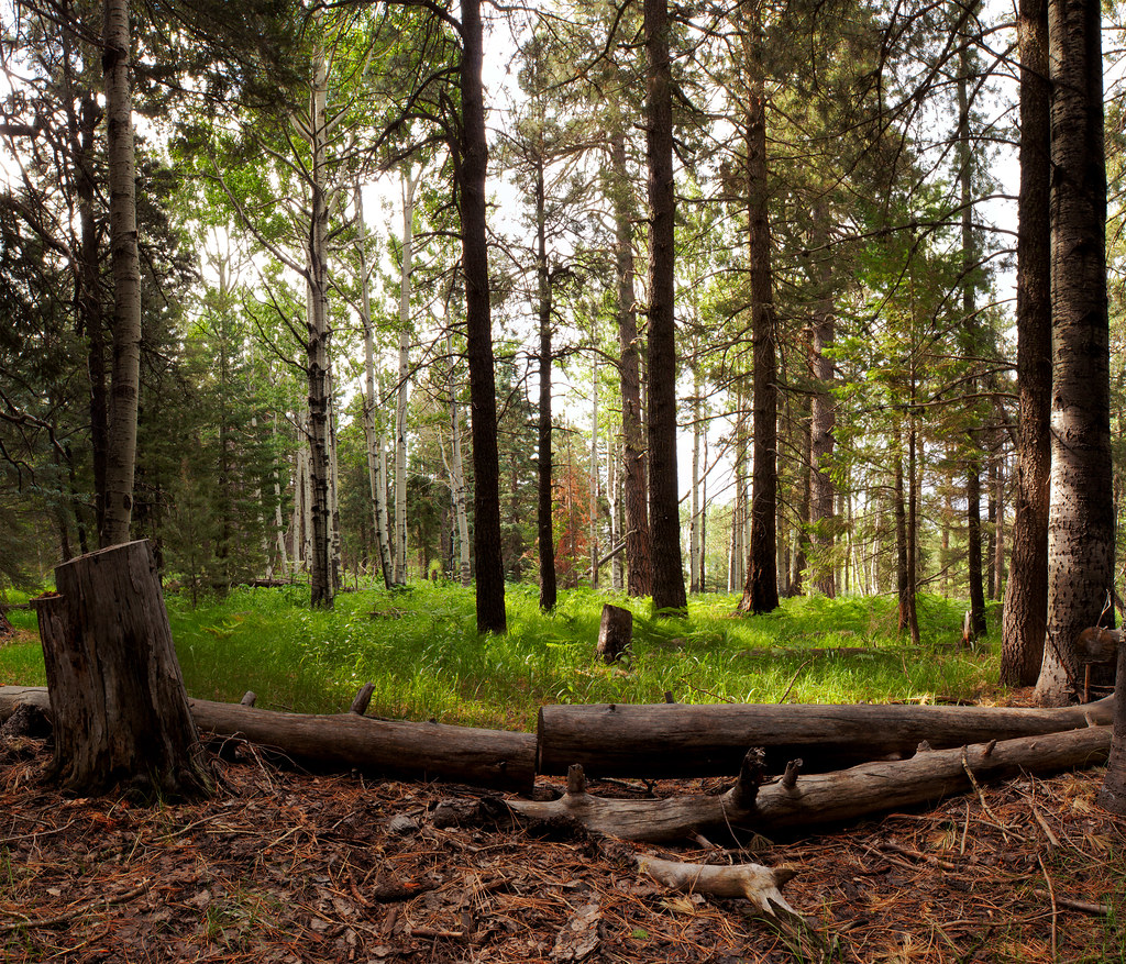 Jesus Goudy Ridge Trail #298Hiking · ~20 min drivePhoto: squeaks2569, CC BY-SA 2.0 (via Flickr)
- High CreekHiking · ~15 min drive
- Clark Peak Trail #301Hiking · ~17 min drivePhoto: em_burk, CC BY-SA 2.0 (via Flickr)
- South Red Cloud TrailHiking · ~5 min drive
- Hell's Hole Trail #319Hiking · ~20 min drive
- Colter SpringHiking · ~15 min drive
- Carter NuttallHiking · ~18 min drivePhoto: em_burk, CC BY-SA 2.0 (via Flickr)
- South Spotted Eagle TrailHiking · ~6 min drive
Best time to visit South Warpaint Path
Best months: February–April and October–November. Best months have typical highs of 55–85 °F, lows of 30 °F or warmer (32 °F where the station doesn't record snow), at most one snowy day and no more than 12 wet days.
Jan
61° / 28°
5 wet
Feb
65° / 32°
5 wet
Mar
72° / 36°
3 wet
Apr
79° / 42°
2 wet
May
87° / 50°
2 wet
Jun
97° / 59°
3 wet
Jul
96° / 66°
10 wet
Aug
94° / 65°
10 wet
Sep
90° / 57°
6 wet
Oct
82° / 45°
4 wet
Nov
70° / 34°
4 wet
Dec
60° / 28°
5 wet
Typical high / low (°F) and days with rain or snow, 1991–2020. Measured at Willcox, AZ, 30 mi away at 4,170 ft. Source: NOAA NCEI U.S. Climate Normals 1991–2020.

Map and trail data © OpenStreetMap contributors
