High Creek
- 5.9 mi
- round trip
- 1,605 ft
- climb
- 6,764 ft
- high point
- Out and back
- route
- Mar–Nov
- best months
Is High Creek open right now?
Alert in the area
The Forest Service lists 3 alerts for Coronado National Forest.
Border Barrier Construction Closure
Agency alert covering Coronado National Forest · Order 03-05-00-26-011 · USFS · Coronado National Forest
No Fire Restrictions
Agency alert covering Coronado National Forest · USFS · Coronado National Forest
Barfoot Snake Closure Order 03-05-01-24-004
Agency alert covering Coronado National Forest · USFS · Coronado National Forest
As of · Source: USFS · Coronado National Forest. Agencies don't list every closure — check before you go.
High Creek is a hard out-and-back hike in the Safford Ranger District of Coronado National Forest in Arizona, managed by the Forest Service. The route covers about 5.9 miles, climbing from a low point of 5,155 feet to a high of 6,764 feet, a total gain of 1,605 feet. It is a natural-surface trail with no designated bike access, and it is not accessible. Spring and fall bring the most comfortable weather. Typical averages from a nearby weather station show highs around 71°F in May and 68°F in October, while summer highs sit near 80°F and winter highs hover around 50°F. The station sits at about the same elevation as the high point on this trail. Other trails lie within a short drive, including Bassett Peak Trail #287C about 3.3 miles away, Trail #285A at 3.7 miles, and West Divide Trail #289 at 5.7 miles. Paddy's River is also about 5.7 miles off.
- Bassett Peak Trail #287CHiking3.3 mi
- Trail #285AHiking3.7 mi
- Trail #289AHiking4.8 mi
- Paddy's RiverHiking5.7 mi
- West Divide Trail #289Hiking5.7 mi
- Bear SpringHiking5.8 mi
- East Divide Trail #287Hiking6.1 mi
- Kennedy Peak Trail #287BHiking6.1 mi
Source: Roamze catalog (indexable pages within 10 miles, PostGIS distance)
 Blue Jay Ridge Trail #314Hiking · ~31 min drivePhoto: em_burk, CC BY-SA 2.0 (via Flickr)
 Nuttall Trail #303Hiking · ~32 min drivePhoto: em_burk, CC BY-SA 2.0 (via Flickr)
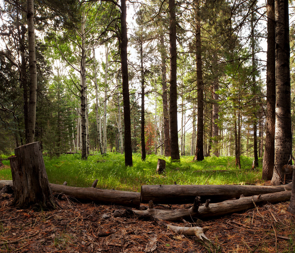 Jesus Goudy Ridge Trail #298Hiking · ~35 min drivePhoto: squeaks2569, CC BY-SA 2.0 (via Flickr)
- East Divide Trail #287Hiking · ~11 min drive
- Clark Peak Trail #301Hiking · ~32 min drivePhoto: em_burk, CC BY-SA 2.0 (via Flickr)
- Trail #285AHiking · ~6 min drive
- Hell's Hole Trail #319Hiking · ~34 min drive
- TortillaHiking · ~12 min drive
- Carter NuttallHiking · ~33 min drivePhoto: em_burk, CC BY-SA 2.0 (via Flickr)
- West Divide Trail #289Hiking · ~10 min drive
Best time to visit High Creek
Best months: March–November. Best months have typical highs of 55–85 °F, lows of 30 °F or warmer (32 °F where the station doesn't record snow), at most one snowy day and no more than 12 wet days.
Jan
50° / 34°
Feb
50° / 33°
Mar
55° / 37°
Apr
62° / 43°
May
71° / 51°
Jun
80° / 60°
Jul
80° / 63°
Aug
79° / 62°
Sep
75° / 59°
Oct
68° / 49°
Nov
59° / 40°
Dec
49° / 33°
Typical high / low (°F) and days with rain or snow, 1991–2020. Measured at Mt Lemmon Willow Canyon, AZ, 28.5 mi away at 7,027 ft. This station doesn't record snowfall. Source: NOAA NCEI U.S. Climate Normals 1991–2020.

