Colter Spring
- 6.2 mi
- round trip
- 2,361 ft
- climb
- 8,434 ft
- high point
- Out and back
- route
Is Colter Spring open right now?
Alert in the area
The Forest Service lists 3 alerts for Coronado National Forest.
Border Barrier Construction Closure
Agency alert covering Coronado National Forest · Order 03-05-00-26-011 · USFS · Coronado National Forest
No Fire Restrictions
Agency alert covering Coronado National Forest · USFS · Coronado National Forest
Barfoot Snake Closure Order 03-05-01-24-004
Agency alert covering Coronado National Forest · USFS · Coronado National Forest
As of · Source: USFS · Coronado National Forest. Agencies don't list every closure — check before you go.
Colter Spring is a hard hike of about 6.2 miles on the Colter Spring Trail #312 in the Safford Ranger District of Coronado National Forest in southeastern Arizona. The Forest Service manages the land, and the trail is an out-and-back that climbs from about 6,072 feet to about 8,434 feet, with a total elevation gain of about 2,361 feet. The trail is natural-surface and bikes are allowed, but it is not an accessible route. The climb is steep, and the high point sits well above the low point, so plan for a long day on foot or on a mountain bike. Colter Spring Trail #312 starts right next to the Colter Spring hike, and Clark Peak Trail #301 and Nuttall Trail #303 are both within about 1.6 miles. For an overnight base, Riggs Flat Campground is about 3.5 miles away.
Keep exploring — more trails worth the drive
 Photo: em_burk, CC BY-SA 2.0 (via Flickr)
Nuttall Trail #303
~3 min drive
20.93-mile out-and-back trail in Arizona, 20.93 miles.
 Photo: em_burk, CC BY-SA 2.0 (via Flickr)
Blue Jay Ridge Trail #314
~3 min drive
7.92-mile out-and-back hike in Arizona with 358 ft elevation gain.
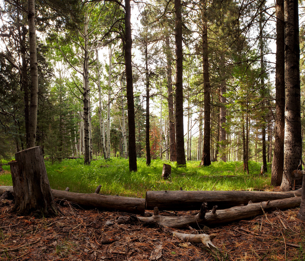 Photo: squeaks2569, CC BY-SA 2.0 (via Flickr)
Jesus Goudy Ridge Trail #298
~7 min drive
9.93-mile out-and-back trail on a ridge in Arizona with 743 ft gain.
 Photo: em_burk, CC BY-SA 2.0 (via Flickr)
Round the Mountain Trail #302
~13 min drive
31.29-mile out-and-back trail in Arizona with 478 ft elevation gain.
 Photo: em_burk, CC BY-SA 2.0 (via Flickr)
Ash Creek Detour
~13 min drive
2.17-mile out-and-back trail in Arizona with 775 ft of elevation gain.
 Photo: squeaks2569, CC BY-SA 2.0 (via Flickr)
Blair Canyon
~8 min drive
5-mile out-and-back trail in Arizona with 302 ft gain.
HIKE
Taylor Trail #306
~7 min drive
10.78-mile out-and-back trail in Arizona with 2,282 ft gain.
HIKE
Colter Spring Trail #312
Next door
5.77-mile out-and-back trail in Arizona with 2,379 ft gain.
HIKE
Carter Canyon
~6 min drive
Carter Canyon is a 2.18-mile out-and-back trail in Arizona with 770 feet of elevation gain.
Photo: em_burk, CC BY-SA 2.0 (via Flickr)Clark Peak Trail #301
~2 min drive
10.72-mile out-and-back hike in Arizona with 1,624 ft elevation gain.

