
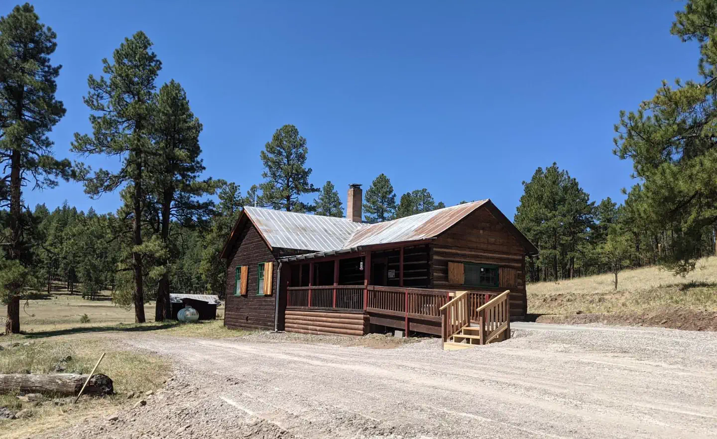
Alpine Village RV Park
Hiking business nearby (~28 mi away) — hasn't claimed their Roamze page yet
Free — you'll pick up right here.
Watch this trail
Sign up to watch it — saving subscribes you to gate, closure and report changes.
Arizona
3.0 mi
Distance
253 ft
Gain
1h 7m
Time
We won't guess. Here is exactly what we do and don't know.
What we do know
Inside Apache-Sitgreaves National Forests
2 managing-area boundaries mapped — agency alerts for them feed this page automatically.
Boundary data
What's missing
No access route mapped
We don't yet know which road reaches this trailhead, so we can't tell you if it's gated.
Nobody's filed a report here yet — be the first.
Why you'll love it
Sheep Saddle
AI-suggested draft · review before you go
Sheep Saddle is a 3.0-mile out-and-back trail located in Arizona. The route features 253 feet of elevation gain, making it a moderate hike suitable for a range of skill levels. The trail takes hikers through Arizona's distinctive landscape, offering views characteristic of the region. As an out-and-back route, hikers will retrace their steps on the return journey, allowing them to experience the terrain from both directions. The relatively modest elevation gain means the hike is manageable for most visitors, though the Arizona terrain and elevation should be considered when planning. This trail provides a good option for those looking to spend a few hours hiking without committing to a full-day adventure. The round-trip distance of 6.0 miles total makes it accessible for hikers seeking a shorter outing while still experiencing Arizona's natural environment.
Cottonwood Tank Trail
~3 min drive
8.1 mi · Hard
War Finance
~4 min drive
4.6 mi · Moderate
Rose Peak Trail
~4 min drive
1.1 mi · Easy
Strayhorse
~4 min drive
25 mi · Hard
Hagan Corral
~5 min drive
5.7 mi · Moderate
Mud Springs
~6 min drive
2.5 mi · Easy
Red Mountain
~4 min drive
14 mi · Hard
Crabtree Park Trail
~9 min drive
5.0 mi · Moderate
Robinson Mesa
~10 min drive
0.4 mi · Easy
Bear Canyon
~5 min drive
6.3 mi · Hard
Local operatorsoffering guided trips. You book directly with them — Roamze doesn’t take a cut.
Alpine Village RV Park
Hiking business nearby (~28 mi away) — hasn't claimed their Roamze page yet