Campground West
Campground
Campground · 0.3 mi from the trail
Serenity Loop is a short hike in Peralta Regional Park in Arizona, on county land. The route is a 1.2-mile loop rated easy, with about 195 feet of climbing over the full circuit. The trail starts at about 2,090 feet and stays within a narrow band between roughly 2,030 and 2,120 feet. Most of the climbing falls in the middle stretch of the loop. The steepest section, near mile 0.9, reaches only about a 6 percent grade, so the walk stays gentle throughout. Late fall through early spring is the most comfortable time to go. A nearby weather station at Apache Junction, at a similar elevation, records typical averages of about 67°F highs in January and 76°F in November, while summer highs typically run above 100°F. Several other hikes start within a few hundred yards, including Stargazing Trail, Saguaro Loop and Desperado Trail. For climbing, Carney Springs Wall is about 2.6 miles away.
Campground West
Campground
Queen Valley Country Club Bar & Grill
Bar
Trails End
Attraction
Places © OpenStreetMap contributors
More in SuperiorNot on Roamze yet. Their page has how to reach them.
 Carney Springs WallRock climbingPhoto: David Taylor from Coeur d Alene, United States, CC BY 2.0 (via Wikimedia Commons)2.6 mi
 The FortressRock climbingPhoto: David Taylor from Coeur d Alene, United States, CC BY 2.0 (via Wikimedia Commons)3.2 mi
 Nosepicker PinnaclesRock climbingPhoto: David Taylor from Coeur d Alene, United States, CC BY 2.0 (via Wikimedia Commons)3.2 mi
 The CemeteryRock climbingPhoto: Alan English CPA from Scottsdale, Arizona 85254, USA, CC BY-SA 2.0 (via Wikimedia Commons)3.4 mi
Source: Roamze catalog (indexable pages within 10 miles, PostGIS distance)
 Carney Springs TrailHiking · ~3 min drivePhoto: lamblukas, CC BY 2.0 (via Flickr)
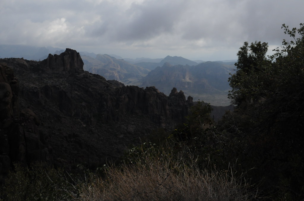 Peralta Trail #102Hiking · ~4 min drivePhoto: HockeyholicAZ, CC BY 2.0 (via Flickr)
 Old Horse TrailHiking · ~5 min drivePhoto: lamblukas, CC BY 2.0 (via Flickr)
 Superstition Ridgeline TrailHiking · ~12 min drivePhoto: The3dStudioDotCom, CC BY-SA 3.0 (via Wikimedia Commons)
 Wave Cave TrailHiking · ~4 min drivePhoto: lamblukas, CC BY 2.0 (via Flickr)Lost Goldmine TrailHiking · ~6 min drivePhoto: lamblukas, CC BY 2.0 (via Flickr)Cave Trail #233Hiking · ~5 min drivePhoto: HockeyholicAZ, CC BY 2.0 (via Flickr)
 Hieroglyphic TrailHiking · ~7 min drivePhoto: lamblukas, CC BY 2.0 (via Flickr)
 Jacob's CrosscutHiking · ~11 min drivePhoto: CWanamaker, CC BY 3.0 (via Wikimedia Commons)Goldmine TrailHiking · ~11 min drivePhoto: CWanamaker, CC BY 3.0 (via Wikimedia Commons)
Best months: November–April. Best months have typical highs of 55–85 °F, lows of 30 °F or warmer (32 °F where the station doesn't record snow), at most one snowy day and no more than 12 wet days.
Jan
67° / 43°
4 wet
Feb
70° / 44°
4 wet
Mar
77° / 48°
4 wet
Apr
85° / 53°
2 wet
May
93° / 60°
2 wet
Jun
103° / 69°
1 wet
Jul
105° / 77°
4 wet
Aug
104° / 76°
6 wet
Sep
99° / 71°
4 wet
Oct
88° / 60°
3 wet
Nov
76° / 50°
3 wet
Dec
66° / 42°
4 wet
Typical high / low (°F) and days with rain or snow, 1991–2020. Measured at Apache Junction 5 Ne, AZ, 9.3 mi away at 2,070 ft. Source: NOAA NCEI U.S. Climate Normals 1991–2020.
Map and trail data © OpenStreetMap contributors
