Ruins Trail
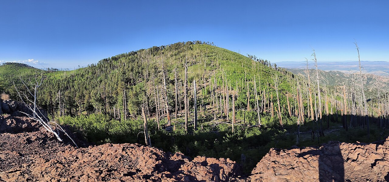
 Photo: stevelyon, CC BY-SA 2.0 (via Flickr)
- 0.3 mi
- round trip
- 122 ft
- climb
- 5,081 ft
- high point
- Out and back
- route
- Sep–May
- best months
Is Ruins Trail open right now?
No closures listed
The National Park Service lists no closures for Fort Bowie National Historic Site.
As of · Source: NPS · Fort Bowie National Historic Site. Agencies don't list every closure — check before you go.
Ruins Trail is a short, easy hike within Fort Bowie National Historic Site in southeastern Arizona, managed by the National Park Service. The trail is about 0.3 miles one way, with a total round-trip distance of roughly 0.6 miles and a total elevation gain of about 122 feet. Spring and fall are the most comfortable times to go. Typical averages from a nearby weather station show April highs around 74°F and October highs around 76°F, while July and August bring highs near 90°F and about 12 wet days a month. Several other trails start close by. Trail to Fort Bowie is about 0.4 miles away and Overlook Ridge Trail is about 0.9 miles away. Indian Creek Trail #253 and the Cochise Head Trail are both about 9.8 miles off.
- Trail to Fort BowieHikingPhoto: stevelyon, CC BY-SA 2.0 (via Flickr)0.4 mi
- Overlook Ridge TrailHikingPhoto: stevelyon, CC BY-SA 2.0 (via Flickr)0.9 mi
- Indian Creek Trail #253Hiking8.1 mi
 Horse TrailHikingPhoto: Neepster on Flickr, CC BY-SA 2.0 (via Wikimedia Commons)9.8 mi
 Cochise Head TrailHikingPhoto: neepster, CC BY-SA 2.0 (via Wikimedia Commons)9.8 mi
- Bonita Creek LoopHiking9.8 mi
 Natural BridgeHikingPhoto: w_lemay, CC BY-SA 2.0 (via Flickr)9.9 mi
Source: Roamze catalog (indexable pages within 10 miles, PostGIS distance)
- Trail to Fort BowieHiking · Next doorPhoto: stevelyon, CC BY-SA 2.0 (via Flickr)
- Horse TrailHiking · ~17 min drivePhoto: Neepster on Flickr, CC BY-SA 2.0 (via Wikimedia Commons)
- Fife CanyonHiking · ~23 min drive
- Overlook Ridge TrailHiking · ~2 min drivePhoto: stevelyon, CC BY-SA 2.0 (via Flickr)
- Cochise Head TrailHiking · ~17 min drivePhoto: neepster, CC BY-SA 2.0 (via Wikimedia Commons)
- Hoovey CanyonHiking · ~24 min drive
- Whitetail TrailHiking · ~18 min drivePhoto: Neepster on Flickr, CC BY-SA 2.0 (via Wikimedia Commons)
- Natural BridgeHiking · ~17 min drivePhoto: w_lemay, CC BY-SA 2.0 (via Flickr)
- Witch RidgeHiking · ~22 min drive
 Upper RhyoliteHiking · ~20 min drivePhoto: w_lemay, CC BY-SA 2.0 (via Flickr)
Best time to visit Ruins Trail
Best months: September–May. Best months have typical highs of 55–85 °F, lows of 30 °F or warmer (32 °F where the station doesn't record snow), at most one snowy day and no more than 12 wet days.
Jan
56° / 30°
5 wet
Feb
61° / 33°
5 wet
Mar
67° / 37°
4 wet
Apr
74° / 40°
2 wet
May
83° / 49°
2 wet
Jun
91° / 57°
4 wet
Jul
90° / 60°
12 wet
Aug
87° / 60°
12 wet
Sep
84° / 57°
7 wet
Oct
76° / 47°
4 wet
Nov
66° / 38°
4 wet
Dec
56° / 31°
5 wet
Typical high / low (°F) and days with rain or snow, 1991–2020. Measured at Chiricahua Nm, AZ, 10.6 mi away at 5,300 ft. Source: NOAA NCEI U.S. Climate Normals 1991–2020.

Map and trail data © OpenStreetMap contributors
