Picket Post Dispersed
Campground
Campground · 4.4 mi from the trail
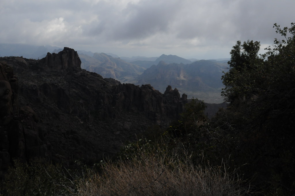
North Woodpecker Trail is an easy out-and-back hike of about 2.3 miles, with a total elevation gain of 753 feet, on land classified as Proposed Open Space in Arizona. The trail climbs to a high point of 3,035 feet from a starting elevation of about 2,790 feet, and the steepest stretch comes early on, near the start. Spring and fall are the most comfortable times to visit. Typical averages from the nearby Superior weather station show April highs around 78°F and October highs around 84°F, while June and July average in the upper 90s. The hike takes about an hour to complete. The Ajax Mine Trail and East Ajax Mine Trail both lie about 1.6 miles away. Farther afield, the Picketpost Mountain Summit Trail is about 4 miles off, and the climbing area at Ivory Tower sits roughly 4.9 miles away.
Picket Post Dispersed
Campground
Buckboard City Cafe
Restaurant
Observation Lookout
Viewpoint
Places © OpenStreetMap contributors
More in SuperiorNot on Roamze yet. Their page has how to reach them.
 Wood CanyonRock climbingPhoto: Cathy Cline, CC BY-SA 3.0 (via Wikimedia Commons)5 mi
Source: Roamze catalog (indexable pages within 10 miles, PostGIS distance)
 Legends of Superior TrailHiking · ~10 min drivePhoto: William Herron, CC BY-SA 2.0 (via Flickr)
 Legends of Superior TrailHiking · ~14 min drivePhoto: CWanamaker, CC BY 3.0 (via Wikimedia Commons)
 Peralta Trail #102Hiking · ~27 min drivePhoto: HockeyholicAZ, CC BY 2.0 (via Flickr)
Best months: October–April. Best months have typical highs of 55–85 °F, lows of 30 °F or warmer (32 °F where the station doesn't record snow), at most one snowy day and no more than 12 wet days.
Jan
62° / 44°
5 wet
Feb
65° / 46°
6 wet
Mar
72° / 49°
5 wet
Apr
78° / 55°
2 wet
May
87° / 64°
2 wet
Jun
97° / 73°
2 wet
Jul
99° / 77°
5 wet
Aug
97° / 76°
7 wet
Sep
93° / 72°
4 wet
Oct
84° / 63°
3 wet
Nov
72° / 52°
3 wet
Dec
62° / 44°
4 wet
Typical high / low (°F) and days with rain or snow, 1991–2020. Measured at Superior, AZ, 8.5 mi away at 2,860 ft. Source: NOAA NCEI U.S. Climate Normals 1991–2020.
Map and trail data © OpenStreetMap contributors
