Picket Post Dispersed
Campground
Campground · 10 mi from the trail
Caution today
Weather is marginal · OpenWeather · checked 11 h ago
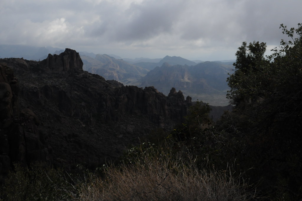
North Martinez Spring Trail is an easy out-and-back hike in Arizona, set on county land within a proposed open space area. The trail is about 1.6 miles long, and the round trip covers roughly 3.3 miles with a total elevation gain of about 821 feet. The route starts at an elevation of about 2,266 feet and reaches a high point of about 2,399 feet, with the steepest stretch coming around 0.66 miles in at a grade of about 14%. Spring and fall are the most comfortable times to go. Typical averages from a nearby weather station in Superior show March highs around 72°F and November highs around 72°F, while July and August average near 99°F. The hike takes about 1.5 hours. Within a few miles are the 6143-L and 6180-U trails, the Ajax Mine Trail and the North Woodpecker Trail.
Picket Post Dispersed
Campground
Buckboard City Cafe
Restaurant
Observation Lookout
Viewpoint
Places © OpenStreetMap contributors
More in SuperiorNot on Roamze yet. Their page has how to reach them.
 Wood CanyonRock climbingPhoto: Cathy Cline, CC BY-SA 3.0 (via Wikimedia Commons)7.9 mi
Source: Roamze catalog (indexable pages within 10 miles, PostGIS distance)
 Legends of Superior TrailHiking · ~18 min drivePhoto: William Herron, CC BY-SA 2.0 (via Flickr)
 Legends of Superior TrailHiking · ~21 min drivePhoto: CWanamaker, CC BY 3.0 (via Wikimedia Commons)
 Peralta Trail #102Hiking · ~37 min drivePhoto: HockeyholicAZ, CC BY 2.0 (via Flickr)
Best months: October–April. Best months have typical highs of 55–85 °F, lows of 30 °F or warmer (32 °F where the station doesn't record snow), at most one snowy day and no more than 12 wet days.
Jan
62° / 44°
5 wet
Feb
65° / 46°
6 wet
Mar
72° / 49°
5 wet
Apr
78° / 55°
2 wet
May
87° / 64°
2 wet
Jun
97° / 73°
2 wet
Jul
99° / 77°
5 wet
Aug
97° / 76°
7 wet
Sep
93° / 72°
4 wet
Oct
84° / 63°
3 wet
Nov
72° / 52°
3 wet
Dec
62° / 44°
4 wet
Typical high / low (°F) and days with rain or snow, 1991–2020. Measured at Superior, AZ, 12.6 mi away at 2,860 ft. Source: NOAA NCEI U.S. Climate Normals 1991–2020.
Map and trail data © OpenStreetMap contributors

