Lehi Trail
- 1.8 mi
- round trip
- 146 ft
- climb
- 1,297 ft
- high point
- Out and back
- route
- Nov–Apr
- best months
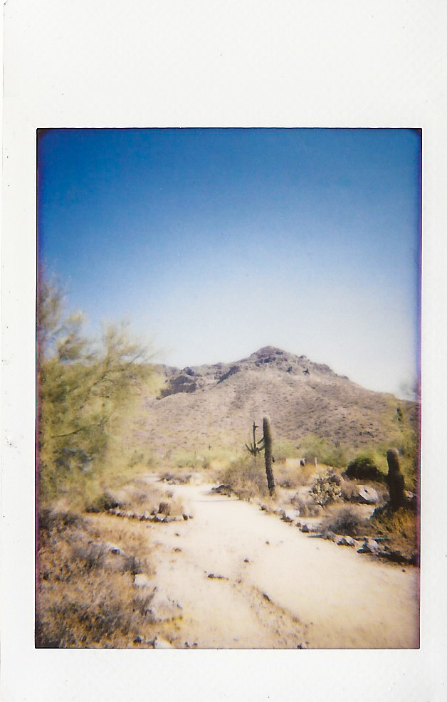
Lehi Trail is a short, easy out-and-back hike in Arizona, about 1.8 miles from the community of Rancho de Arboleda. The route is 3.5 miles long, with a total elevation gain of 146 feet, and it is rated easy. The trail starts at about 1,267 feet and reaches a high point of 1,297 feet, with the steepest stretch at the very beginning, about 0.05 miles in, where the grade reaches 3 percent. Spring and fall are the most comfortable times to go. Typical averages from a nearby weather station at E Mesa show March highs around 77°F and November highs around 77°F, while June and July average in the mid-100s. The trip takes about an hour. The Consoliated Canal Path lies about 4.3 miles away, and the Salt River offers canoeing about 5 miles off. Power Rd Trail (Easy) and the Fence Line Trail (Easy) are both about 5 miles away.
Local outfitters
- VIP RV Resort13 mi away
- Arizona Desert Mountain Jeep Tours20 mi away
Not on Roamze yet. Their page has how to reach them.
- Consoliated Canal PathHiking4.3 mi
 Salt RiverCanoeingPhoto: Alan Stark from Goodyear, AZ, United States, CC BY-SA 2.0 (via Wikimedia Commons)5 mi
- Power Rd Trail (Easy)Hiking5 mi
- Fence Line Trail (Easy)Mountain biking5.1 mi
- Hawes TrailMountain biking5.3 mi
 HawesHikingPhoto: waterarchives, CC BY-SA 2.0 (via Flickr)5.3 mi
- Beaver Wall at PapagoRock climbing9.8 mi
- Hobo HouseRock climbing9.8 mi
Source: Roamze catalog (indexable pages within 10 miles, PostGIS distance)
- HawesHiking · ~9 min drivePhoto: waterarchives, CC BY-SA 2.0 (via Flickr)
- RidgeHiking · ~9 min drivePhoto: waterarchives, CC BY-SA 2.0 (via Flickr)
 Nature TrailHiking · ~12 min drivePhoto: William Herron, CC BY-SA 2.0 (via Flickr)
- Sunrise TrailHiking · ~15 min drive
- Boulderdash TrailHiking · ~12 min drive
 Discovery PathHiking · ~14 min drivePhoto: kevin dooley, CC BY 2.0 (via Flickr)
- Hawes Loop TrailHiking · ~13 min drive
 NRA All Mountain Party DHiking · ~14 min drivePhoto: Z Glyph, CC BY 3.0 (via Wikimedia Commons)
- Sunset Ridge TrailHiking · ~13 min drive
- Lehi Loop Shared Use PathHiking · ~2 min drive
Best time to visit Lehi Trail
Best months: November–April. Best months have typical highs of 55–85 °F, lows of 30 °F or warmer (32 °F where the station doesn't record snow), at most one snowy day and no more than 12 wet days.
Jan
68° / 41°
4 wet
Feb
70° / 43°
4 wet
Mar
77° / 48°
3 wet
Apr
85° / 53°
1 wet
May
94° / 62°
1 wet
Jun
104° / 71°
1 wet
Jul
106° / 79°
4 wet
Aug
105° / 78°
5 wet
Sep
100° / 71°
4 wet
Oct
90° / 59°
2 wet
Nov
77° / 48°
2 wet
Dec
66° / 40°
4 wet
Typical high / low (°F) and days with rain or snow, 1991–2020. Measured at E Mesa, AZ, 8.5 mi away at 1,518 ft. This station doesn't record snowfall. Source: NOAA NCEI U.S. Climate Normals 1991–2020.
Map and trail data © OpenStreetMap contributors
