Lakeshore
- 0.7 mi
- loop
- 9 ft
- climb
- 8,761 ft
- high point
- Loop
- route
Caution today
Agency alerts are in effect for this area; weather is marginal · USFS, OpenWeather · checked 9 h ago
Is Lakeshore open right now?
Alert in the area
The Forest Service lists 3 alerts for Coronado National Forest.
Border Barrier Construction Closure
Agency alert covering Coronado National Forest · Order 03-05-00-26-011 · USFS · Coronado National Forest
No Fire Restrictions
Agency alert covering Coronado National Forest · USFS · Coronado National Forest
Barfoot Snake Closure Order 03-05-01-24-004
Agency alert covering Coronado National Forest · USFS · Coronado National Forest
As of · Source: USFS · Coronado National Forest. Agencies don't list every closure — check before you go.
Lakeshore is a short, easy loop hike in the Safford Ranger District of Coronado National Forest in Arizona, managed by the Forest Service. The trail is about 0.65 miles long, with a total elevation gain of 9 feet, so it's a gentle walk that can be done in about half an hour. The route is a loop, and the trail surface is natural. Bikes are allowed, but the trail is not accessible. It sits at an elevation of about 8,728 feet, with the high point reaching about 8,761 feet. The trail is open year-round, and the closest neighbors are the Jesus Babcock hike, about 0.1 mile away, and Riggs Flat Campground, about 0.2 mile away. The Jesus Goudy Ridge Trail #298 and Hell's Hole Trail #319 are both within a mile.
- Jesus BabcockHiking0.1 mi
- Riggs Flat CampgroundCamping0.2 mi
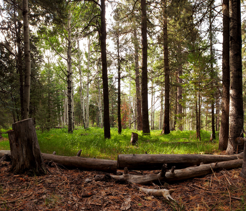 Jesus Goudy Ridge Trail #298HikingPhoto: squeaks2569, CC BY-SA 2.0 (via Flickr)0.8 mi
- Hell's Hole Trail #319Hiking0.9 mi
 Blair CanyonHikingPhoto: squeaks2569, CC BY-SA 2.0 (via Flickr)1.7 mi
- Soldier CreekCamping2.7 mi
- CunninghamCamping4.7 mi
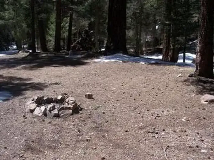 Upper Hospital Flat Group SiteCampingPhoto: Recreation.gov (RIDB) / public domain5.9 mi
Source: Roamze catalog (indexable pages within 10 miles, PostGIS distance)
- Jesus Goudy Ridge Trail #298Hiking · ~1 min drivePhoto: squeaks2569, CC BY-SA 2.0 (via Flickr)
- Blair CanyonHiking · ~3 min drivePhoto: squeaks2569, CC BY-SA 2.0 (via Flickr)
 Nuttall Trail #303Hiking · ~4 min drivePhoto: em_burk, CC BY-SA 2.0 (via Flickr)
 Round the Mountain Trail #302Hiking · ~8 min drivePhoto: em_burk, CC BY-SA 2.0 (via Flickr)
- Hell's Hole Trail #319Hiking · ~2 min drive
- Carter NuttallHiking · ~3 min drivePhoto: em_burk, CC BY-SA 2.0 (via Flickr)
 Ash Creek DetourHiking · ~8 min drivePhoto: em_burk, CC BY-SA 2.0 (via Flickr)
- Colter SpringHiking · ~6 min drive
- Grant Goudy Ridge Trail #310Hiking · ~8 min drive
- Clark Peak Trail #301Hiking · ~6 min drivePhoto: em_burk, CC BY-SA 2.0 (via Flickr)

