Jesus Babcock
- 1.8 mi
- round trip
- 84 ft
- climb
- 8,779 ft
- high point
- Out and back
- route
Is Jesus Babcock open right now?
Alert in the area
The Forest Service lists 3 alerts for Coronado National Forest.
Border Barrier Construction Closure
Agency alert covering Coronado National Forest · Order 03-05-00-26-011 · USFS · Coronado National Forest
No Fire Restrictions
Agency alert covering Coronado National Forest · USFS · Coronado National Forest
Barfoot Snake Closure Order 03-05-01-24-004
Agency alert covering Coronado National Forest · USFS · Coronado National Forest
As of · Source: USFS · Coronado National Forest. Agencies don't list every closure — check before you go.
Jesus Babcock is an easy, out-and-back hike in the Safford Ranger District of Coronado National Forest in Arizona, managed by the Forest Service. The trail is about 1.8 miles long, with a total elevation gain of 84 feet, and it runs on natural surface. It is not an accessible trail. The route starts at a low point of about 8,281 feet and climbs to a high point of about 8,779 feet. Bikes are allowed, so it works for a short ride as well as a walk. The trail is open year-round, and the nearest town is Safford. Lakeshore is just 0.1 mile away, and Riggs Flat Campground is about 0.3 mile off. Jesus Goudy Ridge Trail #298 and Hell's Hole Trail #319 are both within about a mile.
- LakeshoreHiking0.1 mi
- Riggs Flat CampgroundCamping0.3 mi
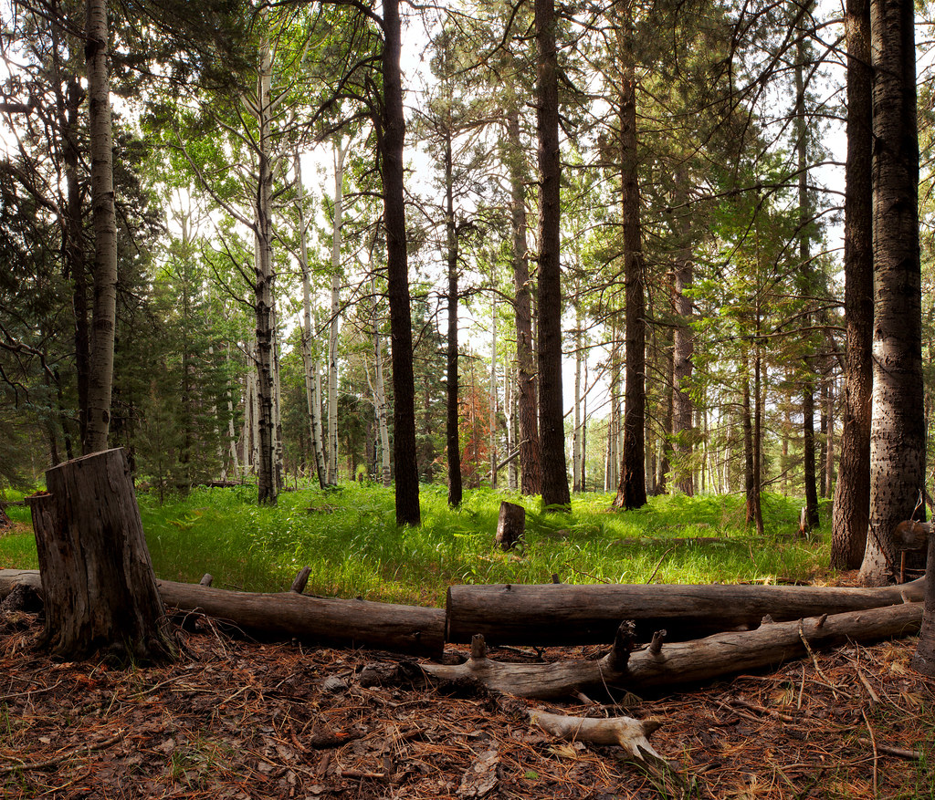 Jesus Goudy Ridge Trail #298HikingPhoto: squeaks2569, CC BY-SA 2.0 (via Flickr)0.9 mi
- Hell's Hole Trail #319Hiking1 mi
 Blair CanyonHikingPhoto: squeaks2569, CC BY-SA 2.0 (via Flickr)1.7 mi
- Soldier CreekCamping2.7 mi
- CunninghamCamping4.7 mi
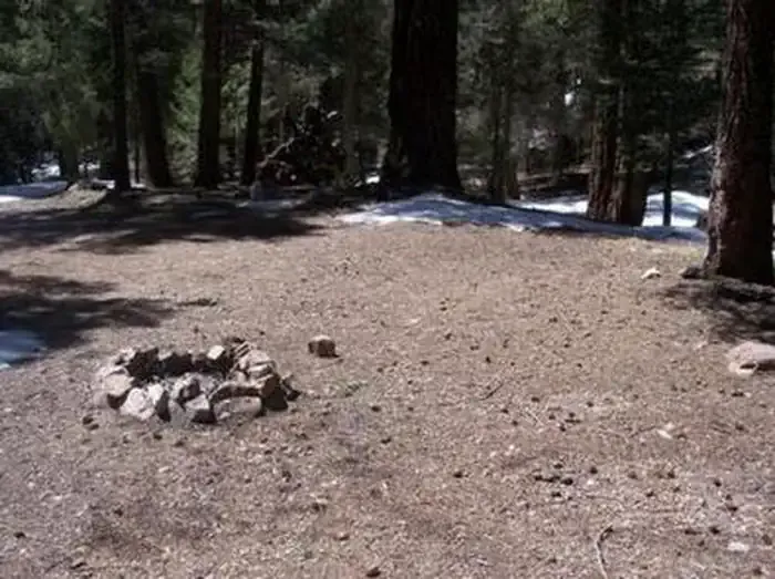 Upper Hospital Flat Group SiteCampingPhoto: Recreation.gov (RIDB) / public domain6 mi
Source: Roamze catalog (indexable pages within 10 miles, PostGIS distance)
- Jesus Goudy Ridge Trail #298Hiking · ~1 min drivePhoto: squeaks2569, CC BY-SA 2.0 (via Flickr)
- Blair CanyonHiking · ~3 min drivePhoto: squeaks2569, CC BY-SA 2.0 (via Flickr)
 Nuttall Trail #303Hiking · ~4 min drivePhoto: em_burk, CC BY-SA 2.0 (via Flickr)
 Round the Mountain Trail #302Hiking · ~8 min drivePhoto: em_burk, CC BY-SA 2.0 (via Flickr)
- Hell's Hole Trail #319Hiking · ~2 min drive
- Carter NuttallHiking · ~3 min drivePhoto: em_burk, CC BY-SA 2.0 (via Flickr)
 Ash Creek DetourHiking · ~8 min drivePhoto: em_burk, CC BY-SA 2.0 (via Flickr)
- Colter Spring Trail #312Hiking · ~6 min drive
- Grant Goudy Ridge Trail #310Hiking · ~8 min drive
- Clark Peak Trail #301Hiking · ~6 min drivePhoto: em_burk, CC BY-SA 2.0 (via Flickr)

