Kellner Group Campground
Campground
Sites open the weekend of Dec 18 on Recreation.gov
The Interloper Loop Trail is a short, easy out-and-back hike of about a mile, with a total elevation gain of 271 feet, set within Old Dominion Historic Mine Park on city land in Arizona. The trail starts and ends at about 3,495 feet, and the high point reaches 3,642 feet. The climb is rolling, with the steepest stretch at about 0.15 miles in, where the grade reaches 8 percent. Spring and fall are the most comfortable times to go. Typical averages from a nearby weather station in Globe show April highs around 76°F and October highs around 79°F, while July and August average highs near 97°F. The trail sits among several other short routes. Muleshoe Pass Trail and Silver Nugget Trail both start about 0.1 mile away, and Globe Edge Trail is about 0.3 mile off. For an overnight stay, Kellner Group Campground is about 5.5 miles away.
Kellner Group Campground
Campground
Places © OpenStreetMap contributors
More in SuperiorNot on Roamze yet. Their page has how to reach them.
Source: Roamze catalog (indexable pages within 10 miles, PostGIS distance)
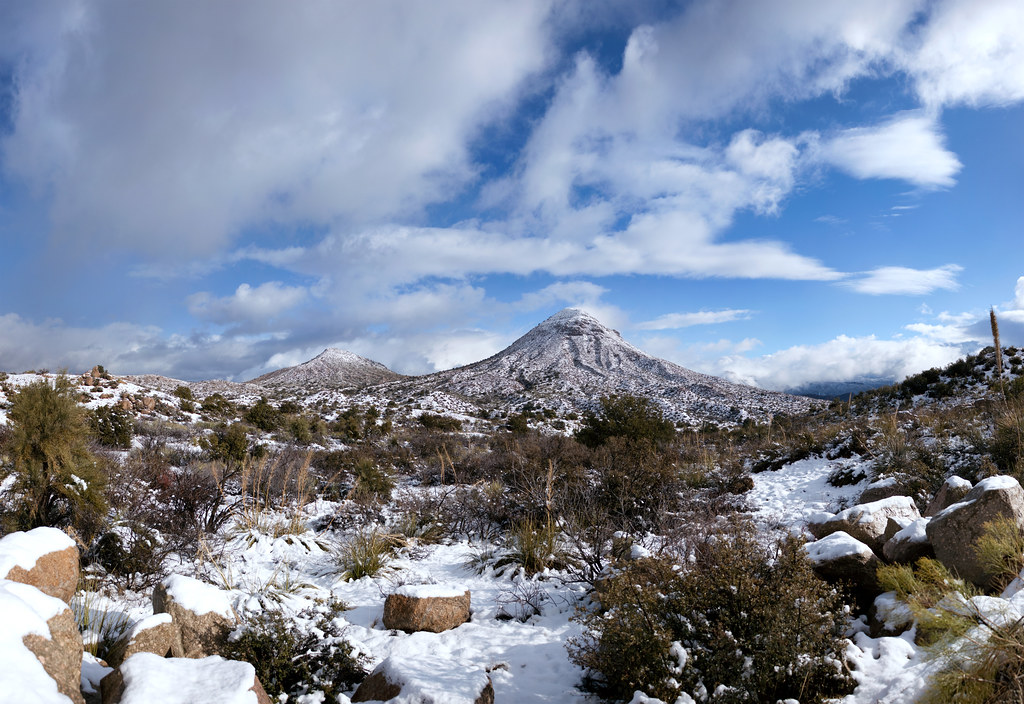 Old Apache TrailHiking · ~21 min drivePhoto: squeaks2569, CC BY-SA 2.0 (via Flickr)
 Legends of Superior TrailHiking · ~33 min drivePhoto: CWanamaker, CC BY 3.0 (via Wikimedia Commons)
Best months: October–May. Best months have typical highs of 55–85 °F, lows of 30 °F or warmer (32 °F where the station doesn't record snow), at most one snowy day and no more than 12 wet days.
Jan
55° / 33°
5 wet
Feb
59° / 36°
4 wet
Mar
68° / 41°
4 wet
Apr
76° / 47°
2 wet
May
85° / 55°
2 wet
Jun
96° / 64°
3 wet
Jul
97° / 71°
9 wet
Aug
95° / 69°
9 wet
Sep
90° / 63°
6 wet
Oct
79° / 52°
4 wet
Nov
65° / 41°
4 wet
Dec
56° / 33°
5 wet
Typical high / low (°F) and days with rain or snow, 1991–2020. Measured at Globe #3, AZ, 1 mi away at 3,660 ft. This station doesn't record snowfall. Source: NOAA NCEI U.S. Climate Normals 1991–2020.
Map and trail data © OpenStreetMap contributors


